The left side wins on the strength of its takeoff view over Lake Erie and downtown Cleveland plus a strong Charlotte skyline view on final approach, giving it the better bookend scenery even though cruise is fairly neutral over the Appalachians.
Flown CLE to CLT? Did we get it right?
Flight Path
Cleveland to Charlotte is 431 miles (694 km), a flight of about 1 hour 35 minutes.
The route crosses the Allegheny Plateau and ridges of West Virginia, including folded mountain terrain near Charleston, WV, before descending across the Blue Ridge foothills of Virginia into the North Carolina Piedmont.
Great circle distance and headings ›Phase by phase
Takeoff from CLE
LEFTDeparting CLE on runway 24 requires a left turn south toward Charlotte, which swings the left side of the aircraft toward downtown Cleveland and the Lake Erie shoreline just after liftoff. The right side mostly shows the flat suburban sprawl southwest of the airport with nothing distinctive.
Landing at CLT
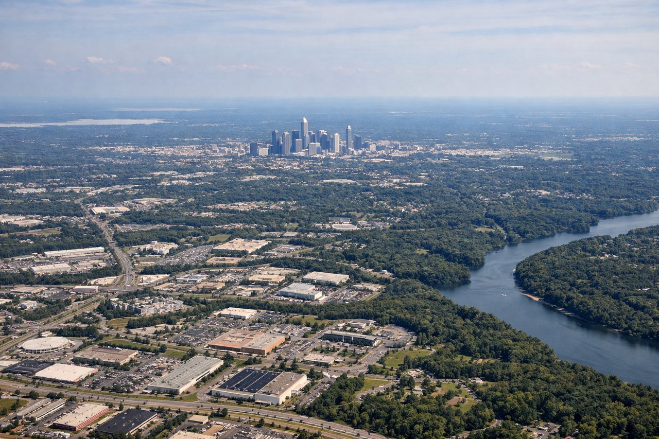
LEFTCLT's prevailing south-flow operations mean arrivals from the north fly a straight-in approach to runway 18, which puts the Charlotte skyline directly off the left side during final descent. The right side faces open Piedmont farmland and subdivisions with no major landmarks.
Will your flight be in sunlight?
Pick a date and time in the Sun Map to watch the sun move across your whole flight.
About This Route
Which side of the plane should I sit on flying from Cleveland Hopkins International (CLE) to Charlotte Douglas International (CLT)?
Sit on the Left side of the plane for the best views on flights from Cleveland to Charlotte. The left side wins on the strength of its takeoff view over Lake Erie and downtown Cleveland plus a strong Charlotte skyline view on final approach, giving it the better bookend scenery even though cruise is fairly neutral over the Appalachians.
What can I see during takeoff from Cleveland Hopkins International in Cleveland?
During takeoff from Cleveland Hopkins International (CLE), sit on the Left side for the best views. Departing CLE on runway 24 requires a left turn south toward Charlotte, which swings the left side of the aircraft toward downtown Cleveland and the Lake Erie shoreline just after liftoff. The right side mostly shows the flat suburban sprawl southwest of the airport with nothing distinctive. Notable sights include: Lake Erie shoreline, downtown Cleveland skyline, Cuyahoga River mouth, Cleveland Browns Stadium.
What can I see when landing at Charlotte Douglas International in Charlotte?
When landing at Charlotte Douglas International (CLT), sit on the Left side for the best views. CLT's prevailing south-flow operations mean arrivals from the north fly a straight-in approach to runway 18, which puts the Charlotte skyline directly off the left side during final descent. The right side faces open Piedmont farmland and subdivisions with no major landmarks. Notable sights include: Uptown Charlotte skyline, Lake Norman to the north, South Fork Catawba River, Piedmont rolling farmland.
How long is the flight from Cleveland to Charlotte?
The flight from Cleveland Hopkins International (CLE) to Charlotte Douglas International (CLT) takes about 1 hour 35 minutes. The shortest flight path between them is 431 miles (694 km); winds and air traffic control usually add a few percent.
What does the Cleveland to Charlotte flight path pass over?
The route crosses the Allegheny Plateau and ridges of West Virginia, including folded mountain terrain near Charleston, WV, before descending across the Blue Ridge foothills of Virginia into the North Carolina Piedmont.