Right-side seats offer the superior experience: dramatic Middle Atlas terrain during departure and the best views of the English Channel crossing during cruise altitude, where you'll see the Strait of Dover and Kent's white cliffs on clear days.
Flown FEZ to STN? Did we get it right?
Flight Path
Fez to London is 1,268 miles (2,040 km), a flight of about 3 hours 5 minutes.
The flight crosses the Bay of Biscay at cruise altitude (typically 31,000-35,000 feet), where individual landmarks become difficult to distinguish. However, at lower altitudes during climb-out and descent, notable features include: the Rif Mountains (visible from Fez departure, northwest of the city); the Pyrenees (visible on clear days during the northern portion of cruise, appearing as a distant mountain line on the horizon); the English Channel (crossed during descent, with the Strait of Dover and French coast visible on the right, white cliffs of Dover on the left as you approach UK airspace); and the Thames Estuary (visible during final approach to Stansted, appearing as a wide, muddy waterway with tidal flats).
Great circle distance and headings ›


Phase by phase
Takeoff from FEZ
RIGHTFez typically departs runway 11 (northeast heading). Right-side seats face the Middle Atlas Mountains and the Sebou River valley as you climb out, offering clear views of the terrain that defines the region around Fez.
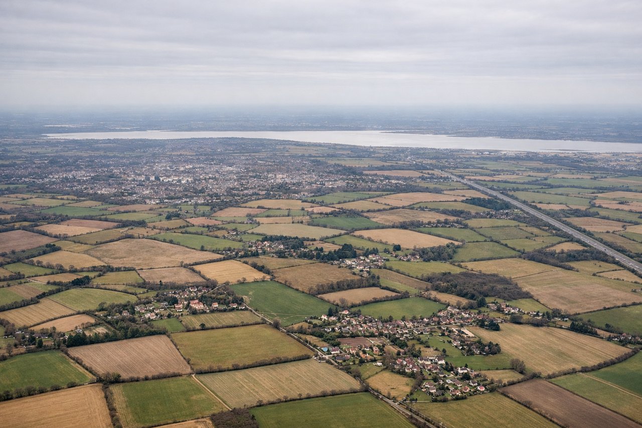
Landing at STN
LEFTStansted typically uses runway 22 (southwest approach). Left-side seats provide views of the Essex countryside, the River Lea valley, and the North Sea coast as you descend through 8,000 feet. You'll see the transition from agricultural land to suburban London's northern fringe.
Will your flight be in sunlight?
Pick a date and time in the Sun Map to watch the sun move across your whole flight.
About This Route
Which side of the plane should I sit on flying from Saiss (FEZ) to Stansted (STN)?
Sit on the Right side of the plane for the best views on flights from Fez to London. Right-side seats offer the superior experience: dramatic Middle Atlas terrain during departure and the best views of the English Channel crossing during cruise altitude, where you'll see the Strait of Dover and Kent's white cliffs on clear days.
What can I see during takeoff from Saiss in Fez?
During takeoff from Saiss (FEZ), sit on the Right side for the best views. Fez typically departs runway 11 (northeast heading). Right-side seats face the Middle Atlas Mountains and the Sebou River valley as you climb out, offering clear views of the terrain that defines the region around Fez. Notable sights include: Middle Atlas Mountains (southeast, receding), Sebou River valley (below, winding northward), Fez medina and modern city (directly below during initial climb), Anti-Atlas foothills (distant southern horizon).
What can I see when landing at Stansted in London?
When landing at Stansted (STN), sit on the Left side for the best views. Stansted typically uses runway 22 (southwest approach). Left-side seats provide views of the Essex countryside, the River Lea valley, and the North Sea coast as you descend through 8,000 feet. You'll see the transition from agricultural land to suburban London's northern fringe. Notable sights include: River Lea valley (left side, flowing south), Essex agricultural plains (foreground and right), North Sea coast near Great Yarmouth (distant left horizon on clear days), London's northern suburbs beginning to appear (right side at lower altitudes).
How long is the flight from Fez to London?
The flight from Saiss (FEZ) to Stansted (STN) takes about 3 hours 5 minutes. The shortest flight path between them is 1,268 miles (2,040 km); winds and air traffic control usually add a few percent.
What does the Fez to London flight path pass over?
The flight crosses the Bay of Biscay at cruise altitude (typically 31,000-35,000 feet), where individual landmarks become difficult to distinguish. However, at lower altitudes during climb-out and descent, notable features include: the Rif Mountains (visible from Fez departure, northwest of the city); the Pyrenees (visible on clear days during the northern portion of cruise, appearing as a distant mountain line on the horizon); the English Channel (crossed during descent, with the Strait of Dover and French coast visible on the right, white cliffs of Dover on the left as you approach UK airspace); and the Thames Estuary (visible during final approach to Stansted, appearing as a wide, muddy waterway with tidal flats).