Freeport to Los Angeles is 2,409 miles (3,877 km), a flight of about 5 hours 15 minutes.
While takeoff offers nice Bahamas scenery, the landing approach into LAX provides more dramatic and visually distinctive features with the San Gabriel Mountains and coastal geography. The westbound route over the continental US offers limited scenic highlights compared to the mountain and basin views on descent.
Flight Path
Gulf of Mexico coastline (Texas and Louisiana), Mississippi River delta region, Great Plains extending into New Mexico and Arizona, Colorado Plateau features, Mojave Desert approaching Southern California
Great circle distance and headings ›
.jpg?width=600)
.jpg?width=600)
Phase by phase
Takeoff from FPO
RIGHTRight side offers views of the Little Bahama Bank and the Bahamas' northern island chain as you climb out westbound. Left side faces open Atlantic Ocean with minimal visual interest during the initial climb.
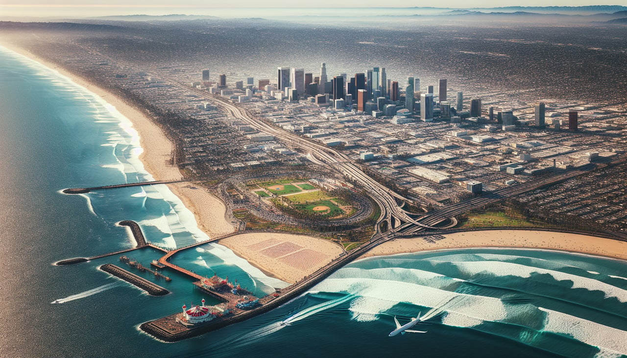
Landing at LAX
LEFTLeft side provides excellent views of the San Gabriel Mountains and the Los Angeles basin during descent. You'll see the mountain range rising inland and the sprawl of greater Los Angeles before final approach into LAX.
Landmarks on this routeAll landmarks →
Will your flight be in sunlight?
Pick a date and time in the Sun Map to watch the sun move across your whole flight.
About This Route
Which side of the plane should I sit on flying from Grand Bahama International (FPO) to Los Angeles International (LAX)?
Sit on the Left side of the plane for the best views on flights from Freeport to Los Angeles. While takeoff offers nice Bahamas scenery, the landing approach into LAX provides more dramatic and visually distinctive features with the San Gabriel Mountains and coastal geography. The westbound route over the continental US offers limited scenic highlights compared to the mountain and basin views on descent.
What can I see during takeoff from Grand Bahama International in Freeport?
During takeoff from Grand Bahama International (FPO), sit on the Right side for the best views. Right side offers views of the Little Bahama Bank and the Bahamas' northern island chain as you climb out westbound. Left side faces open Atlantic Ocean with minimal visual interest during the initial climb. Notable sights include: Little Bahama Bank (shallow turquoise waters), Grand Bahama Island shoreline, Abaco Islands to the southeast, Berry Islands chain.
What can I see when landing at Los Angeles International in Los Angeles?
When landing at Los Angeles International (LAX), sit on the Left side for the best views. Left side provides excellent views of the San Gabriel Mountains and the Los Angeles basin during descent. You'll see the mountain range rising inland and the sprawl of greater Los Angeles before final approach into LAX. Notable sights include: San Gabriel Mountains, Los Angeles basin and urban sprawl, Pacific coastline, Long Beach and San Pedro Bay.
How long is the flight from Freeport to Los Angeles?
The flight from Grand Bahama International (FPO) to Los Angeles International (LAX) takes about 5 hours 15 minutes. The shortest flight path between them is 2,409 miles (3,877 km); winds and air traffic control usually add a few percent.
What does the Freeport to Los Angeles flight path pass over?
Gulf of Mexico coastline (Texas and Louisiana), Mississippi River delta region, Great Plains extending into New Mexico and Arizona, Colorado Plateau features, Mojave Desert approaching Southern California