Both the LAX departure and the Manila arrival favor the right side, offering the Malibu coastline and Channel Islands on takeoff and Manila Bay with Corregidor and Bataan on landing, while the left side sees comparatively minor coastal glimpses and mostly faces inland terrain during descent.
Flight Path
The route curves northwest across the vast open North Pacific, passing well north of the Hawaiian Islands and south of the Aleutians before bending southwest past Japan's Izu-Ogasawara island chain, then crossing the Philippine Sea toward Luzon.
Great circle distance and headings ›Phase by phase
Takeoff from LAX
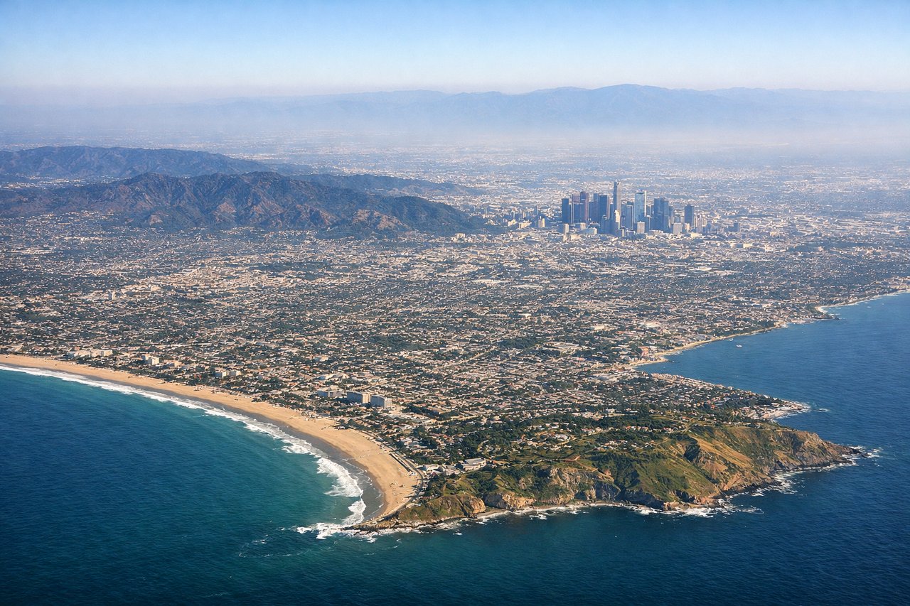
RIGHTIn LAX's typical west-flow departure, aircraft climb out over Santa Monica Bay and then track northwest up the great-circle route toward Asia, putting the Malibu coastline, Santa Monica Mountains, and Channel Islands on the right side. The left side only offers a brief glimpse of Palos Verdes and Catalina Island before settling into open ocean.

Landing at MNL
RIGHTOn final approach into NAIA, the flight path commonly crosses Manila Bay, giving right-side passengers a clear view of the bay's coastline, Corregidor Island, and the Bataan Peninsula, with Metro Manila's high-rises lining the shore just before touchdown. The left side instead faces inland toward Laguna de Bay and the distant Taal Volcano area, which is scenic but less immediate during the descent.
Landmarks on this routeAll landmarks →
Will your flight be in sunlight?
See exactly which side of the plane gets sun and shade at your departure time.
About This Route
Which side of the plane should I sit on flying from Los Angeles International (LAX) to Ninoy Aquino International (MNL)?
Sit on the Right side of the plane for the best views on flights from Los Angeles to Manila. Both the LAX departure and the Manila arrival favor the right side, offering the Malibu coastline and Channel Islands on takeoff and Manila Bay with Corregidor and Bataan on landing, while the left side sees comparatively minor coastal glimpses and mostly faces inland terrain during descent.
What can I see during takeoff from Los Angeles International in Los Angeles?
During takeoff from Los Angeles International (LAX), sit on the Right side for the best views. In LAX's typical west-flow departure, aircraft climb out over Santa Monica Bay and then track northwest up the great-circle route toward Asia, putting the Malibu coastline, Santa Monica Mountains, and Channel Islands on the right side. The left side only offers a brief glimpse of Palos Verdes and Catalina Island before settling into open ocean. Notable sights include: Malibu coastline, Santa Monica Mountains, Channel Islands, Point Conception.
What can I see when landing at Ninoy Aquino International in Manila?
When landing at Ninoy Aquino International (MNL), sit on the Right side for the best views. On final approach into NAIA, the flight path commonly crosses Manila Bay, giving right-side passengers a clear view of the bay's coastline, Corregidor Island, and the Bataan Peninsula, with Metro Manila's high-rises lining the shore just before touchdown. The left side instead faces inland toward Laguna de Bay and the distant Taal Volcano area, which is scenic but less immediate during the descent. Notable sights include: Manila Bay, Corregidor Island, Bataan Peninsula, Metro Manila skyline along the bay.
How long is the flight from Los Angeles to Manila?
The flight from Los Angeles International (LAX) to Ninoy Aquino International (MNL) takes 14h 50m.
What does the Los Angeles to Manila flight path pass over?
The route curves northwest across the vast open North Pacific, passing well north of the Hawaiian Islands and south of the Aleutians before bending southwest past Japan's Izu-Ogasawara island chain, then crossing the Philippine Sea toward Luzon.