The left side delivers the strongest bookends of the flight: a classic Southern California coastal departure and a close volcanic approach into Costa Rica's Central Valley, plus glimpses of Mexico and Central America's inland volcanic chain during cruise, giving it more varied and dramatic scenery than the right side's ocean and coastal views.
Flown LAX to SJO? Did we get it right?
Flight Path
Los Angeles to San Jose is 2,723 miles (4,382 km), a flight of about 5 hours 20 minutes.
Around the midpoint the route crosses the central Mexican highlands near Jalisco, with the Sierra Madre Occidental foothills and the Pacific coastline visible to the south; farther along, the flight parallels the volcanic spine of Guatemala, El Salvador, and Nicaragua before descending into Costa Rica.
Great circle distance and headings ›Phase by phase
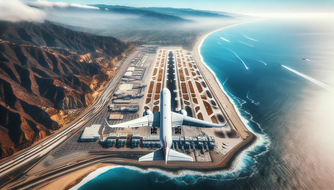
Takeoff from LAX
LEFTLAX departures headed toward Central America climb out over Santa Monica Bay and then bank south, putting the entire Southern California coastline on the left side of the aircraft. Passengers get a sweeping view of the Palos Verdes Peninsula, Long Beach's harbor, and the Orange County coast before the plane turns out over Baja California.
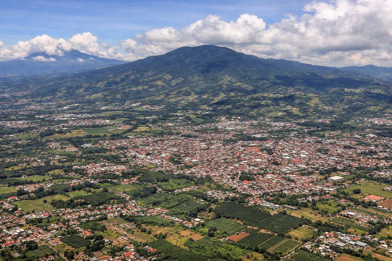
Landing at SJO
LEFTOn the standard approach into SJO from the northwest, the aircraft descends into Costa Rica's Central Valley with Poás Volcano's broad, forested cone and crater rim visible just off the left side, close to the airport near Alajuela. This gives a rare, close-up look at an active volcano right before touchdown.
Will your flight be in sunlight?
Pick a date and time in the Sun Map to watch the sun move across your whole flight.
About This Route
Which side of the plane should I sit on flying from Los Angeles International (LAX) to Juan Santamaria International (SJO)?
Sit on the Left side of the plane for the best views on flights from Los Angeles to San Jose. The left side delivers the strongest bookends of the flight: a classic Southern California coastal departure and a close volcanic approach into Costa Rica's Central Valley, plus glimpses of Mexico and Central America's inland volcanic chain during cruise, giving it more varied and dramatic scenery than the right side's ocean and coastal views.
What can I see during takeoff from Los Angeles International in Los Angeles?
During takeoff from Los Angeles International (LAX), sit on the Left side for the best views. LAX departures headed toward Central America climb out over Santa Monica Bay and then bank south, putting the entire Southern California coastline on the left side of the aircraft. Passengers get a sweeping view of the Palos Verdes Peninsula, Long Beach's harbor, and the Orange County coast before the plane turns out over Baja California. Notable sights include: Palos Verdes Peninsula, Long Beach/San Pedro harbor, Catalina Island, Baja California coastline.
What can I see when landing at Juan Santamaria International in San Jose?
When landing at Juan Santamaria International (SJO), sit on the Left side for the best views. On the standard approach into SJO from the northwest, the aircraft descends into Costa Rica's Central Valley with Poás Volcano's broad, forested cone and crater rim visible just off the left side, close to the airport near Alajuela. This gives a rare, close-up look at an active volcano right before touchdown. Notable sights include: Poás Volcano, Alajuela's coffee-covered hillsides, Central Valley ridgeline, Rio Grande de Tarcoles valley.
How long is the flight from Los Angeles to San Jose?
The flight from Los Angeles International (LAX) to Juan Santamaria International (SJO) takes about 5 hours 20 minutes. The shortest flight path between them is 2,723 miles (4,382 km); winds and air traffic control usually add a few percent.
What does the Los Angeles to San Jose flight path pass over?
Around the midpoint the route crosses the central Mexican highlands near Jalisco, with the Sierra Madre Occidental foothills and the Pacific coastline visible to the south; farther along, the flight parallels the volcanic spine of Guatemala, El Salvador, and Nicaragua before descending into Costa Rica.