St. Petersburg to Moscow is 389 miles (625 km), a flight of about 1 hour 10 minutes.
While takeoff favors the right for Gulf of Finland views, landing on the left provides more dramatic and sustained geography—the Moscow River's meanders and the transition into Moscow proper are more visually distinctive than the relatively flat departure landscape. The landing view carries more geographic interest.
Flight Path
The flight path crosses the Valdai Hills (low, forested ridge at roughly 57.5°N, 33°E)—visible as subtle elevation and denser forest from altitude. The Volga River's upper reaches lie to the east of track. Extensive birch and coniferous forest dominates the entire route between the two cities, with occasional lakes and river valleys visible. No major mountain ranges; terrain is gently rolling with maximum elevations around 300 meters.
Great circle distance and headings ›Phase by phase
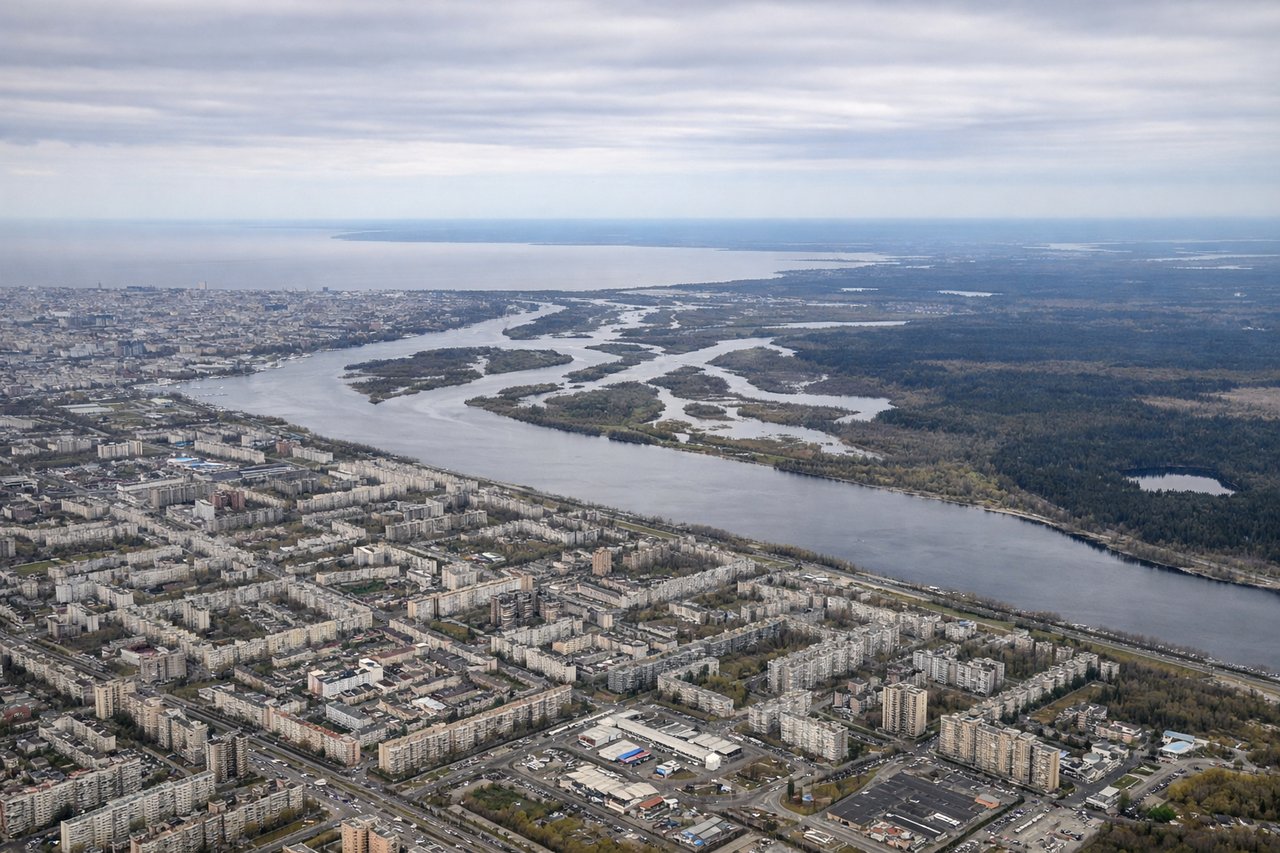
Takeoff from LED
RIGHTPulkovo typically departs to the south or southwest. Right-side seats capture the Gulf of Finland receding northward and the Neva River delta as you climb, plus the broader Ladoga Lake region to the northeast. Left side faces inland forest with minimal contrast.
Landing at VKO
LEFTVnukovo's main runways are oriented roughly north-south (09/27). Approach vectors typically come from the northwest or southwest. Left-side seats on descent capture the Moscow River's serpentine curves, the Moskva River valley, and the western Moscow urban structure including visible districts and the transition from forest to city.
Landmarks on this routeAll landmarks →
Will your flight be in sunlight?
Pick a date and time in the Sun Map to watch the sun move across your whole flight.
About This Route
Which side of the plane should I sit on flying from Pulkovo (LED) to Vnukovo (VKO)?
Sit on the Left side of the plane for the best views on flights from St. Petersburg to Moscow. While takeoff favors the right for Gulf of Finland views, landing on the left provides more dramatic and sustained geography—the Moscow River's meanders and the transition into Moscow proper are more visually distinctive than the relatively flat departure landscape. The landing view carries more geographic interest.
What can I see during takeoff from Pulkovo in St. Petersburg?
During takeoff from Pulkovo (LED), sit on the Right side for the best views. Pulkovo typically departs to the south or southwest. Right-side seats capture the Gulf of Finland receding northward and the Neva River delta as you climb, plus the broader Ladoga Lake region to the northeast. Left side faces inland forest with minimal contrast. Notable sights include: Gulf of Finland (north), Neva River delta and Saint Petersburg city sprawl (beneath/behind), Lake Ladoga (northeast on horizon), Karelian Isthmus forest (east).
What can I see when landing at Vnukovo in Moscow?
When landing at Vnukovo (VKO), sit on the Left side for the best views. Vnukovo's main runways are oriented roughly north-south (09/27). Approach vectors typically come from the northwest or southwest. Left-side seats on descent capture the Moscow River's serpentine curves, the Moskva River valley, and the western Moscow urban structure including visible districts and the transition from forest to city. Notable sights include: Moscow River (Moskva) with distinctive meanders (south/southwest), western Moscow districts and urban sprawl, Vorobyovy Gory (Sparrow Hills) ridge (east), surrounding birch and pine forest (west and north).
How long is the flight from St. Petersburg to Moscow?
The flight from Pulkovo (LED) to Vnukovo (VKO) takes about 1 hour 10 minutes. The shortest flight path between them is 389 miles (625 km); winds and air traffic control usually add a few percent.
What does the St. Petersburg to Moscow flight path pass over?
The flight path crosses the Valdai Hills (low, forested ridge at roughly 57.5°N, 33°E)—visible as subtle elevation and denser forest from altitude. The Volga River's upper reaches lie to the east of track. Extensive birch and coniferous forest dominates the entire route between the two cities, with occasional lakes and river valleys visible. No major mountain ranges; terrain is gently rolling with maximum elevations around 300 meters.