The right side wins on both ends of the flight — London's skyline during the climbing turn out of Gatwick and Vancouver's mountain-backed skyline on the approach — plus it tracks closer to Greenland's icecap and fjords and the Canadian Rockies during cruise, while the left side is dominated by open Atlantic and Hudson Bay waters and flat Canadian terrain.
Flight Path
London to Vancouver is 4,734 miles (7,619 km), a flight of about 9 hours 30 minutes.
Southern Greenland ice cap and coastal fjords, Davis Strait, Labrador Sea, Baffin Island's rugged coastline, Hudson Bay
Great circle distance and headings ›


Phase by phase
Takeoff from LGW
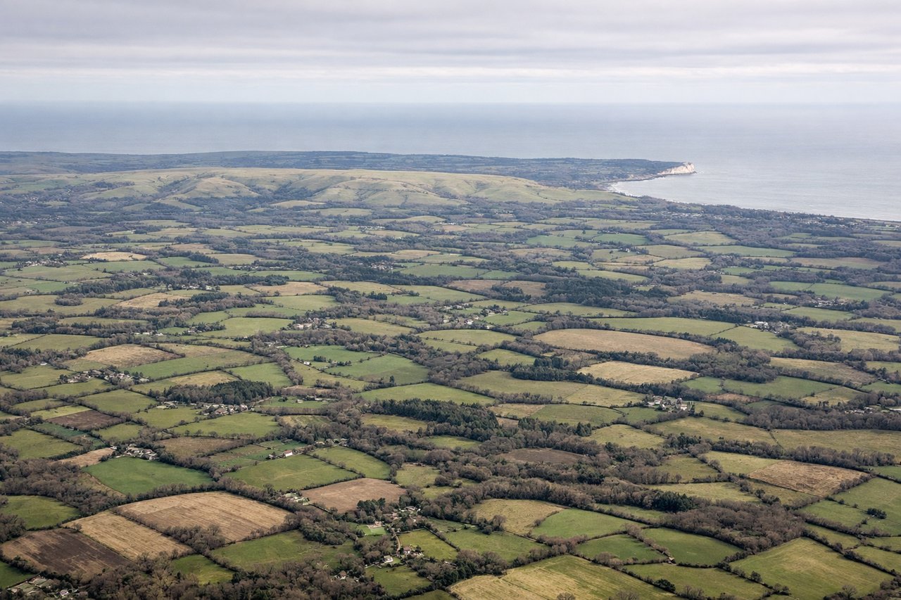
RIGHTDeparting LGW's runway 26 to the west, the aircraft banks right onto its northwesterly track toward Scotland and the North Atlantic, putting the London skyline and Thames Estuary into view on the right side during the turn. The left side only shows the flat Surrey and Sussex countryside receding southward.

Landing at YVR
RIGHTYVR's prevailing westbound landings on runway 26L bring aircraft in from the east over the Fraser Valley, and on the right (north) side passengers see downtown Vancouver's skyline across Burrard Inlet backed by the snow-dusted North Shore Mountains. The left side mostly shows the flatter Richmond suburbs and the open waters of the Strait of Georgia.
Landmarks on this routeAll landmarks →
Will your flight be in sunlight?
Pick a date and time in the Sun Map to watch the sun move across your whole flight.
About This Route
Which side of the plane should I sit on flying from Gatwick (LGW) to Vancouver International (YVR)?
Sit on the Right side of the plane for the best views on flights from London to Vancouver. The right side wins on both ends of the flight — London's skyline during the climbing turn out of Gatwick and Vancouver's mountain-backed skyline on the approach — plus it tracks closer to Greenland's icecap and fjords and the Canadian Rockies during cruise, while the left side is dominated by open Atlantic and Hudson Bay waters and flat Canadian terrain.
What can I see during takeoff from Gatwick in London?
During takeoff from Gatwick (LGW), sit on the Right side for the best views. Departing LGW's runway 26 to the west, the aircraft banks right onto its northwesterly track toward Scotland and the North Atlantic, putting the London skyline and Thames Estuary into view on the right side during the turn. The left side only shows the flat Surrey and Sussex countryside receding southward. Notable sights include: London skyline (Shard, City towers), Thames Estuary, Surrey/Kent countryside.
What can I see when landing at Vancouver International in Vancouver?
When landing at Vancouver International (YVR), sit on the Right side for the best views. YVR's prevailing westbound landings on runway 26L bring aircraft in from the east over the Fraser Valley, and on the right (north) side passengers see downtown Vancouver's skyline across Burrard Inlet backed by the snow-dusted North Shore Mountains. The left side mostly shows the flatter Richmond suburbs and the open waters of the Strait of Georgia. Notable sights include: Downtown Vancouver skyline, Burrard Inlet, North Shore Mountains (Grouse, Seymour, Cypress), Fraser River delta.
How long is the flight from London to Vancouver?
The flight from Gatwick (LGW) to Vancouver International (YVR) takes about 9 hours 30 minutes. The shortest flight path between them is 4,734 miles (7,619 km); winds and air traffic control usually add a few percent.
What does the London to Vancouver flight path pass over?
Southern Greenland ice cap and coastal fjords, Davis Strait, Labrador Sea, Baffin Island's rugged coastline, Hudson Bay