Left side dominates this route. Takeoff offers good regional views, but the landing approach into San Diego Bay with the Pacific Ocean, downtown skyline, and Coronado Island visible simultaneously makes the left seat the clear winner for the overall journey.
Flown ROC to SAN? Did we get it right?
Flight Path
Rochester to San Diego is 2,246 miles (3,615 km), a flight of about 5 hours 15 minutes.
The flight path crosses the Appalachian plateau (Pennsylvania/Ohio border region), then transitions over the Great Plains. Notable midpoint features include the Ohio River valley, the flat agricultural terrain of Indiana and Illinois, and the transition to the High Plains as the route approaches Colorado. The Rocky Mountains appear on the horizon during the western portion of the flight, with the Colorado Front Range visible during descent into the Southwest. The Mojave Desert dominates the final approach segment into Southern California.
Great circle distance and headings ›


Phase by phase
Takeoff from ROC
RIGHTRight side captures the Finger Lakes region immediately after departure. ROC typically departs runway 28 or 10; from either heading, the right wing shows the elongated lakes and surrounding Appalachian terrain that defines the Rochester area geography.
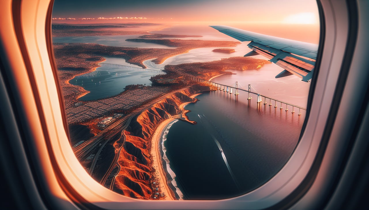
Landing at SAN
LEFTLeft side provides the best views during descent into San Diego. Approaching from the east (typical for SAN), the left wing faces the Pacific Ocean, San Diego Bay, and the downtown skyline. The contrast between inland desert and coastal development is striking from altitude.
Will your flight be in sunlight?
Pick a date and time in the Sun Map to watch the sun move across your whole flight.
About This Route
Which side of the plane should I sit on flying from Greater Rochester International (ROC) to San Diego International Lindbergh Fld (SAN)?
Sit on the Left side of the plane for the best views on flights from Rochester to San Diego. Left side dominates this route. Takeoff offers good regional views, but the landing approach into San Diego Bay with the Pacific Ocean, downtown skyline, and Coronado Island visible simultaneously makes the left seat the clear winner for the overall journey.
What can I see during takeoff from Greater Rochester International in Rochester?
During takeoff from Greater Rochester International (ROC), sit on the Right side for the best views. Right side captures the Finger Lakes region immediately after departure. ROC typically departs runway 28 or 10; from either heading, the right wing shows the elongated lakes and surrounding Appalachian terrain that defines the Rochester area geography. Notable sights include: Canandaigua Lake, Seneca Lake, Cayuga Lake, Genesee River valley.
What can I see when landing at San Diego International Lindbergh Fld in San Diego?
When landing at San Diego International Lindbergh Fld (SAN), sit on the Left side for the best views. Left side provides the best views during descent into San Diego. Approaching from the east (typical for SAN), the left wing faces the Pacific Ocean, San Diego Bay, and the downtown skyline. The contrast between inland desert and coastal development is striking from altitude. Notable sights include: San Diego Bay, downtown San Diego skyline, Pacific Ocean, Coronado Island.
How long is the flight from Rochester to San Diego?
The flight from Greater Rochester International (ROC) to San Diego International Lindbergh Fld (SAN) takes about 5 hours 15 minutes. The shortest flight path between them is 2,246 miles (3,615 km); winds and air traffic control usually add a few percent.
What does the Rochester to San Diego flight path pass over?
The flight path crosses the Appalachian plateau (Pennsylvania/Ohio border region), then transitions over the Great Plains. Notable midpoint features include the Ohio River valley, the flat agricultural terrain of Indiana and Illinois, and the transition to the High Plains as the route approaches Colorado. The Rocky Mountains appear on the horizon during the western portion of the flight, with the Colorado Front Range visible during descent into the Southwest. The Mojave Desert dominates the final approach segment into Southern California.