Right-side seats capture the most dramatic geography: the Caribbean departure over open ocean and Puerto Rico's interior, then the entire Atlantic crossing, and finally the approach into Ohio's landscape. The takeoff view is particularly strong.
Flown SJU to CMH? Did we get it right?
Flight Path
San Juan to Columbus is 1,797 miles (2,893 km), a flight of about 4 hours 45 minutes.
The flight path crosses the Atlantic Ocean for roughly 3.5 hours. You'll pass over the Bahamas (visible as shallow turquoise banks and islands if flying at lower altitudes during certain segments), then the southeastern United States coastline becomes visible around 2 hours into the flight. The Appalachian Mountains appear as a subtle ridge on the horizon roughly 1 hour before landing, running northeast-southwest across the landscape. The flight passes over Georgia, South Carolina, and North Carolina before turning northwest toward Ohio.
Great circle distance and headings ›

Phase by phase
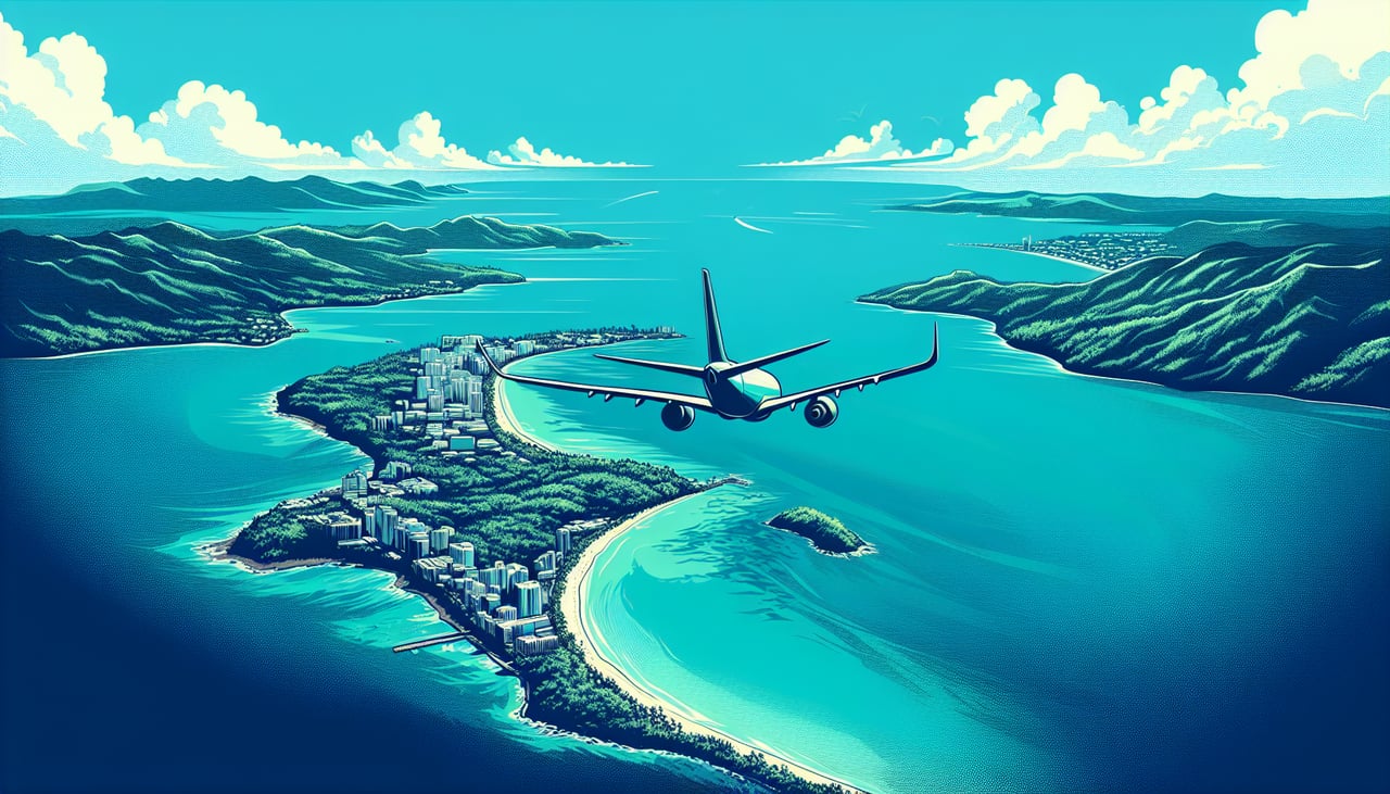
Takeoff from SJU
RIGHTSJU typically departs eastbound (Runway 27 or 28), so right-side seats face the Atlantic Ocean and the Puerto Rican coastline as you climb. You'll see the island's northern shore and the deeper blue water of the open Atlantic expanding beneath you.
Landing at CMH
LEFTCMH typically lands westbound (Runway 28L or 28R). Left-side seats will face south and southwest during approach, giving views of central Ohio's landscape, the Scioto River valley, and the city of Columbus spreading across the terrain below.
Will your flight be in sunlight?
Pick a date and time in the Sun Map to watch the sun move across your whole flight.
About This Route
Which side of the plane should I sit on flying from Luis Munoz Marin International (SJU) to Port Columbus International (CMH)?
Sit on the Right side of the plane for the best views on flights from San Juan to Columbus. Right-side seats capture the most dramatic geography: the Caribbean departure over open ocean and Puerto Rico's interior, then the entire Atlantic crossing, and finally the approach into Ohio's landscape. The takeoff view is particularly strong.
What can I see during takeoff from Luis Munoz Marin International in San Juan?
During takeoff from Luis Munoz Marin International (SJU), sit on the Right side for the best views. SJU typically departs eastbound (Runway 27 or 28), so right-side seats face the Atlantic Ocean and the Puerto Rican coastline as you climb. You'll see the island's northern shore and the deeper blue water of the open Atlantic expanding beneath you. Notable sights include: Atlantic Ocean, Puerto Rico's northern coastline, El Yunque National Forest (visible as dark green interior), Bahía de San Juan.
What can I see when landing at Port Columbus International in Columbus?
When landing at Port Columbus International (CMH), sit on the Left side for the best views. CMH typically lands westbound (Runway 28L or 28R). Left-side seats will face south and southwest during approach, giving views of central Ohio's landscape, the Scioto River valley, and the city of Columbus spreading across the terrain below. Notable sights include: Scioto River, Columbus downtown skyline, Ohio farmland and suburban sprawl, Rickenbacker International Airport (visible to the south).
How long is the flight from San Juan to Columbus?
The flight from Luis Munoz Marin International (SJU) to Port Columbus International (CMH) takes about 4 hours 45 minutes. The shortest flight path between them is 1,797 miles (2,893 km); winds and air traffic control usually add a few percent.
What does the San Juan to Columbus flight path pass over?
The flight path crosses the Atlantic Ocean for roughly 3.5 hours. You'll pass over the Bahamas (visible as shallow turquoise banks and islands if flying at lower altitudes during certain segments), then the southeastern United States coastline becomes visible around 2 hours into the flight. The Appalachian Mountains appear as a subtle ridge on the horizon roughly 1 hour before landing, running northeast-southwest across the landscape. The flight passes over Georgia, South Carolina, and North Carolina before turning northwest toward Ohio.