Buenos Aires to Punta Arenas is 1,413 miles (2,273 km), a flight of about 4 hours.
While takeoff offers some estuary views from the right, the landing approach over the Strait of Magellan and Tierra del Fuego from the left is far more geographically dramatic and memorable. Left seats capture the transition from pampas to sub-Antarctic terrain.
Flight Path
The flight path crosses the pampas of Buenos Aires Province and La Pampa, then enters Patagonia proper. Notable features include the Río Colorado (visible as a thin line in the landscape around 1.5 hours into flight), the transition from grassland to steppe vegetation, and the gradual rise of the Andes foothills as the aircraft approaches southern Patagonia. The Laguna del Carbón and other glacial lakes may be visible in the final approach phase. The entire route stays over continental Argentina; no crossing of international borders occurs until the final descent into PUQ.
Great circle distance and headings ›Phase by phase
Takeoff from AEP
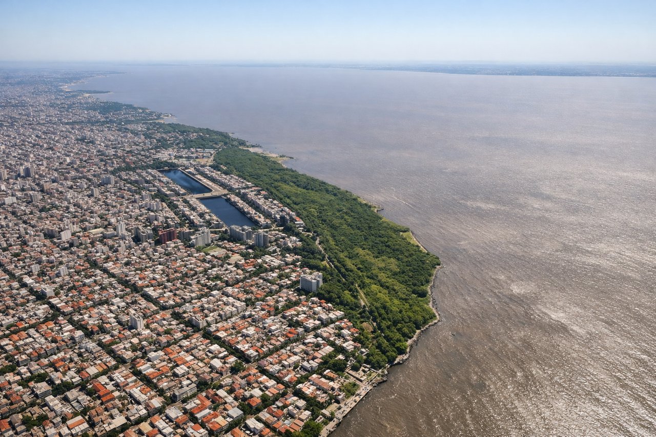
RIGHTAEP typically departs to the north or northeast over the Río de la Plata estuary. Right-side seats offer views of the wide water body and the city sprawl of Buenos Aires receding southward, while left seats face inland toward the flat pampas with minimal visual interest.
Landing at PUQ
LEFTApproach to PUQ typically comes from the northeast over the Strait of Magellan. Left-side seats provide views of the Andes foothills, Tierra del Fuego's rugged terrain, and the Strait itself—dramatic geography unavailable from the right side, which faces the open Atlantic.
Landmarks on this routeAll landmarks →
Will your flight be in sunlight?
Pick a date and time in the Sun Map to watch the sun move across your whole flight.
About This Route
Which side of the plane should I sit on flying from Aeroparque Jorge Newbery (AEP) to Carlos Ibanez Del Campo International (PUQ)?
Sit on the Left side of the plane for the best views on flights from Buenos Aires to Punta Arenas. While takeoff offers some estuary views from the right, the landing approach over the Strait of Magellan and Tierra del Fuego from the left is far more geographically dramatic and memorable. Left seats capture the transition from pampas to sub-Antarctic terrain.
What can I see during takeoff from Aeroparque Jorge Newbery in Buenos Aires?
During takeoff from Aeroparque Jorge Newbery (AEP), sit on the Right side for the best views. AEP typically departs to the north or northeast over the Río de la Plata estuary. Right-side seats offer views of the wide water body and the city sprawl of Buenos Aires receding southward, while left seats face inland toward the flat pampas with minimal visual interest. Notable sights include: Río de la Plata estuary (immediate foreground), Buenos Aires urban grid and port facilities (south and southeast), Tigre Delta waterways (northeast in distance), flat pampas extending west.
What can I see when landing at Carlos Ibanez Del Campo International in Punta Arenas?
When landing at Carlos Ibanez Del Campo International (PUQ), sit on the Left side for the best views. Approach to PUQ typically comes from the northeast over the Strait of Magellan. Left-side seats provide views of the Andes foothills, Tierra del Fuego's rugged terrain, and the Strait itself—dramatic geography unavailable from the right side, which faces the open Atlantic. Notable sights include: Strait of Magellan (visible as a narrow water passage), Tierra del Fuego's mountainous terrain (brown and gray ridges), Andes foothills (southern extent of the range), Punta Arenas city and airfield (final approach).
How long is the flight from Buenos Aires to Punta Arenas?
The flight from Aeroparque Jorge Newbery (AEP) to Carlos Ibanez Del Campo International (PUQ) takes about 4 hours. The shortest flight path between them is 1,413 miles (2,273 km); winds and air traffic control usually add a few percent.
What does the Buenos Aires to Punta Arenas flight path pass over?
The flight path crosses the pampas of Buenos Aires Province and La Pampa, then enters Patagonia proper. Notable features include the Río Colorado (visible as a thin line in the landscape around 1.5 hours into flight), the transition from grassland to steppe vegetation, and the gradual rise of the Andes foothills as the aircraft approaches southern Patagonia. The Laguna del Carbón and other glacial lakes may be visible in the final approach phase. The entire route stays over continental Argentina; no crossing of international borders occurs until the final descent into PUQ.