Both takeoff and landing favor the right side with genuine city and coastal scenery, while the long mid-Atlantic cruise is open ocean regardless of side, capping both scores but giving the right side the edge on landmark density.
Flight Path
Open North Atlantic Ocean over the Grand Banks southeast of Newfoundland, with the southern coast of Ireland occasionally visible on clear days as the route approaches Europe
Great circle distance and headings ›.jpeg?width=600)
.jpg?width=600)

Phase by phase

Takeoff from ATL
RIGHTATL departures for northeast-bound flights typically roll west into the wind then arc north, putting downtown Atlanta's skyline and Stone Mountain's granite dome on the right side of the cabin during the turn. The left side mostly shows suburban sprawl and flat Georgia farmland with nothing distinctive.
Landing at AMS
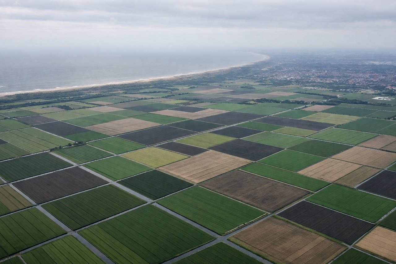
RIGHTOn the typical southbound approach into Schiphol (18-direction landings), aircraft descend over the IJsselmeer and cross toward Amsterdam before turning onto final, putting the city's canal ring and harbor on the right side of the plane. The left side mainly shows featureless polder farmland during this phase.
Landmarks on this routeAll landmarks →
Will your flight be in sunlight?
See exactly which side of the plane gets sun and shade at your departure time.
About This Route
Which side of the plane should I sit on flying from The William B Hartsfield Atlanta International (ATL) to Schiphol (AMS)?
Sit on the Right side of the plane for the best views on flights from Atlanta to Amsterdam. Both takeoff and landing favor the right side with genuine city and coastal scenery, while the long mid-Atlantic cruise is open ocean regardless of side, capping both scores but giving the right side the edge on landmark density.
What can I see during takeoff from The William B Hartsfield Atlanta International in Atlanta?
During takeoff from The William B Hartsfield Atlanta International (ATL), sit on the Right side for the best views. ATL departures for northeast-bound flights typically roll west into the wind then arc north, putting downtown Atlanta's skyline and Stone Mountain's granite dome on the right side of the cabin during the turn. The left side mostly shows suburban sprawl and flat Georgia farmland with nothing distinctive. Notable sights include: Downtown Atlanta skyline, Stone Mountain granite dome, Chattahoochee River.
What can I see when landing at Schiphol in Amsterdam?
When landing at Schiphol (AMS), sit on the Right side for the best views. On the typical southbound approach into Schiphol (18-direction landings), aircraft descend over the IJsselmeer and cross toward Amsterdam before turning onto final, putting the city's canal ring and harbor on the right side of the plane. The left side mainly shows featureless polder farmland during this phase. Notable sights include: Amsterdam canal ring and city center, IJsselmeer, patchwork polders, North Sea coastline in the distance.
How long is the flight from Atlanta to Amsterdam?
The flight from The William B Hartsfield Atlanta International (ATL) to Schiphol (AMS) takes 8h 45m.
What does the Atlanta to Amsterdam flight path pass over?
Open North Atlantic Ocean over the Grand Banks southeast of Newfoundland, with the southern coast of Ireland occasionally visible on clear days as the route approaches Europe