Right-side seats capture the most dramatic geography: Mount Kinabalu during departure climb-out, the South China Sea throughout the flight, and the approach corridor over water. The northbound routing keeps the mountain visible on the right side for much of the flight.
Flown BKI to TPE? Did we get it right?
Flight Path
Kota Kinabalu to Taipei is 1,367 miles (2,199 km), a flight of about 3 hours 20 minutes.
The flight path crosses the South China Sea in a roughly north-northeast direction. Notable features include the Sulu Sea to the east (not directly visible but the flight passes over open water), the Mindanao Strait region to the northeast, and the Philippine archipelago's western edge remaining distant to the east. Mount Kinabalu remains visible on the right (eastern) side during the initial climb. As the aircraft reaches cruising altitude around 30,000 feet, the curvature of the coastlines becomes apparent. The approach to Taiwan brings the Central Mountain Range into view on the left side during descent, with the Taipei Basin visible ahead before landing at Taoyuan International.
Great circle distance and headings ›Phase by phase
Takeoff from BKI
RIGHTBKI typically departs to the northeast on runway 03. Right-side seats offer immediate views of the South China Sea and the Kinabalu massif rising inland. Left seats face the airport's western approach over coastal lowlands with less dramatic terrain.
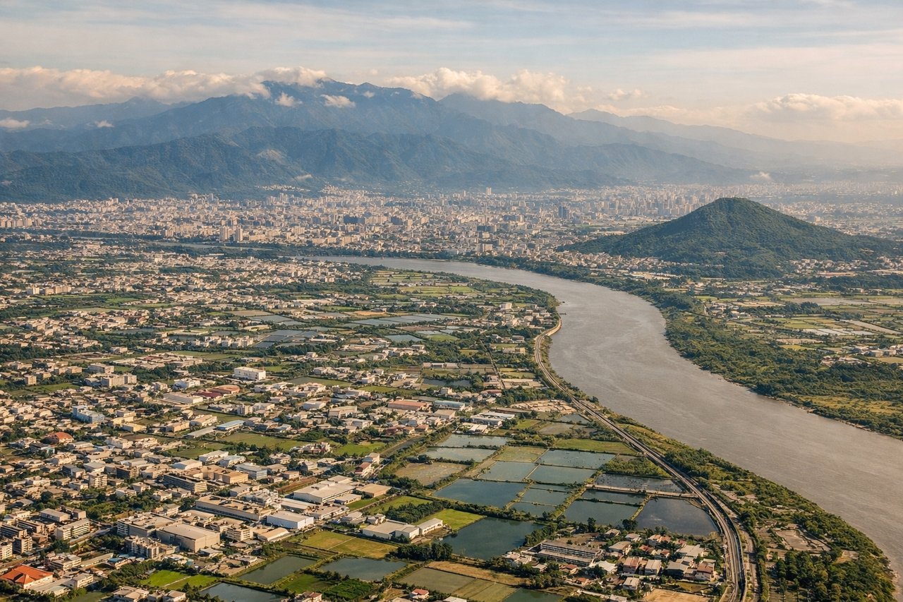
Landing at TPE
LEFTBKI approaches from the northeast on runway 03. Left-side seats descending toward the airport capture the South China Sea, the coastal approach path, and the Kinabalu range as a backdrop. Right seats face inland terrain with less visual interest during the final descent.
Will your flight be in sunlight?
Pick a date and time in the Sun Map to watch the sun move across your whole flight.
About This Route
Which side of the plane should I sit on flying from Kota Kinabalu International (BKI) to Chiang Kai Shek International (TPE)?
Sit on the Right side of the plane for the best views on flights from Kota Kinabalu to Taipei. Right-side seats capture the most dramatic geography: Mount Kinabalu during departure climb-out, the South China Sea throughout the flight, and the approach corridor over water. The northbound routing keeps the mountain visible on the right side for much of the flight.
What can I see during takeoff from Kota Kinabalu International in Kota Kinabalu?
During takeoff from Kota Kinabalu International (BKI), sit on the Right side for the best views. BKI typically departs to the northeast on runway 03. Right-side seats offer immediate views of the South China Sea and the Kinabalu massif rising inland. Left seats face the airport's western approach over coastal lowlands with less dramatic terrain. Notable sights include: Mount Kinabalu (4,095m, visible as a distant peak inland), South China Sea (immediate water body to the east), Sabah coastal plains (low-lying terrain to the west), Tunku Abdul Rahman National Park islands (small forested islands in the bay).
What can I see when landing at Chiang Kai Shek International in Taipei?
When landing at Chiang Kai Shek International (TPE), sit on the Left side for the best views. BKI approaches from the northeast on runway 03. Left-side seats descending toward the airport capture the South China Sea, the coastal approach path, and the Kinabalu range as a backdrop. Right seats face inland terrain with less visual interest during the final descent. Notable sights include: Mount Kinabalu (visible as a pale, distant peak on the horizon during approach), South China Sea (primary visual feature during descent), Tunku Abdul Rahman National Park islands (scattered in the bay below), Kota Kinabalu city and port facilities (visible on the ground in final stages).
How long is the flight from Kota Kinabalu to Taipei?
The flight from Kota Kinabalu International (BKI) to Chiang Kai Shek International (TPE) takes about 3 hours 20 minutes. The shortest flight path between them is 1,367 miles (2,199 km); winds and air traffic control usually add a few percent.
What does the Kota Kinabalu to Taipei flight path pass over?
The flight path crosses the South China Sea in a roughly north-northeast direction. Notable features include the Sulu Sea to the east (not directly visible but the flight passes over open water), the Mindanao Strait region to the northeast, and the Philippine archipelago's western edge remaining distant to the east. Mount Kinabalu remains visible on the right (eastern) side during the initial climb. As the aircraft reaches cruising altitude around 30,000 feet, the curvature of the coastlines becomes apparent. The approach to Taiwan brings the Central Mountain Range into view on the left side during descent, with the Taipei Basin visible ahead before landing at Taoyuan International.