The left side wins overall thanks to the dramatic Bogotá takeoff framed by the eastern Andean escarpment and a cruise phase that keeps the Andean cordillera in view for much of the route, giving more sustained mountain drama than the right side's ocean and desert views, which are concentrated mainly in the final descent.
Flown BOG to LIM? Did we get it right?
Flight Path
Bogota to Lima is 1,173 miles (1,888 km), a flight of about 2 hours 55 minutes.
Cordillera Real and Cordillera Central peaks of Ecuador and northern Peru, high Andean plateaus, and the transition to Peru's arid coastal lowlands near the end of the route
Great circle distance and headings ›

Phase by phase

Takeoff from BOG
LEFTDeparting El Dorado on a southbound heading, the aircraft climbs with Bogotá's eastern mountain wall - Cerro de Monserrate and Guadalupe - right off the left wing, along with the sprawling city grid below. The right side shows the flatter savanna and outskirts toward the west.
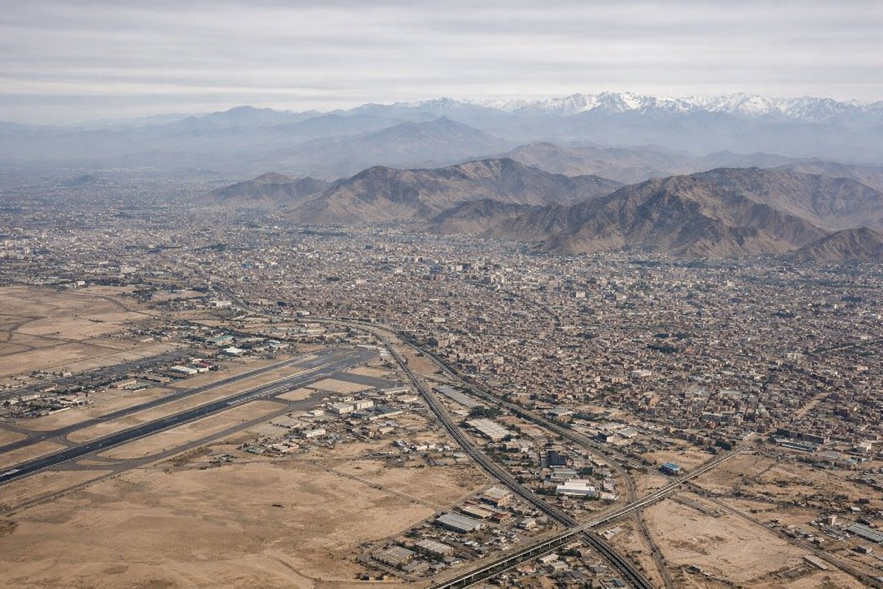
Landing at LIM
RIGHTApproaching Jorge Chávez from the north on final for runway 16, the flight path tracks down Peru's coastal desert with the Pacific Ocean and Lima's cliffside districts like Miraflores visible on the right. The left side shows only the dry brown foothills inland.
Will your flight be in sunlight?
Pick a date and time in the Sun Map to watch the sun move across your whole flight.
About This Route
Which side of the plane should I sit on flying from Eldorado International (BOG) to Jorge Chávez International Airport (LIM)?
Sit on the Left side of the plane for the best views on flights from Bogota to Lima. The left side wins overall thanks to the dramatic Bogotá takeoff framed by the eastern Andean escarpment and a cruise phase that keeps the Andean cordillera in view for much of the route, giving more sustained mountain drama than the right side's ocean and desert views, which are concentrated mainly in the final descent.
What can I see during takeoff from Eldorado International in Bogota?
During takeoff from Eldorado International (BOG), sit on the Left side for the best views. Departing El Dorado on a southbound heading, the aircraft climbs with Bogotá's eastern mountain wall - Cerro de Monserrate and Guadalupe - right off the left wing, along with the sprawling city grid below. The right side shows the flatter savanna and outskirts toward the west. Notable sights include: Cerro de Monserrate, Cerro de Guadalupe, Bogotá savanna, eastern Andean escarpment.
What can I see when landing at Jorge Chávez International Airport in Lima?
When landing at Jorge Chávez International Airport (LIM), sit on the Right side for the best views. Approaching Jorge Chávez from the north on final for runway 16, the flight path tracks down Peru's coastal desert with the Pacific Ocean and Lima's cliffside districts like Miraflores visible on the right. The left side shows only the dry brown foothills inland. Notable sights include: Pacific Ocean coastline, Miraflores cliffs, Lima's coastal desert plain, Callao harbor.
How long is the flight from Bogota to Lima?
The flight from Eldorado International (BOG) to Jorge Chávez International Airport (LIM) takes about 2 hours 55 minutes. The shortest flight path between them is 1,173 miles (1,888 km); winds and air traffic control usually add a few percent.
What does the Bogota to Lima flight path pass over?
Cordillera Real and Cordillera Central peaks of Ecuador and northern Peru, high Andean plateaus, and the transition to Peru's arid coastal lowlands near the end of the route