The left (east) side offers the strongest combination of Bogota's eastern hills at takeoff and a striking lineup of snow-capped volcanoes—Cotopaxi, Antisana, and Cayambe—visible during the approach into Quito, giving it more consistent and dramatic terrain throughout the flight.
Flown BOG to UIO? Did we get it right?
Flight Path
Bogota to Quito is 442 miles (712 km), a flight of about 1 hour 20 minutes.
Cordillera Central and the Cauca River valley near Cali and Popayan, Galeras volcano near Pasto, and the volcanic border region near Chiles and Cumbal before descending into the Ecuadorian Andes toward Quito
Great circle distance and headings ›


Phase by phase
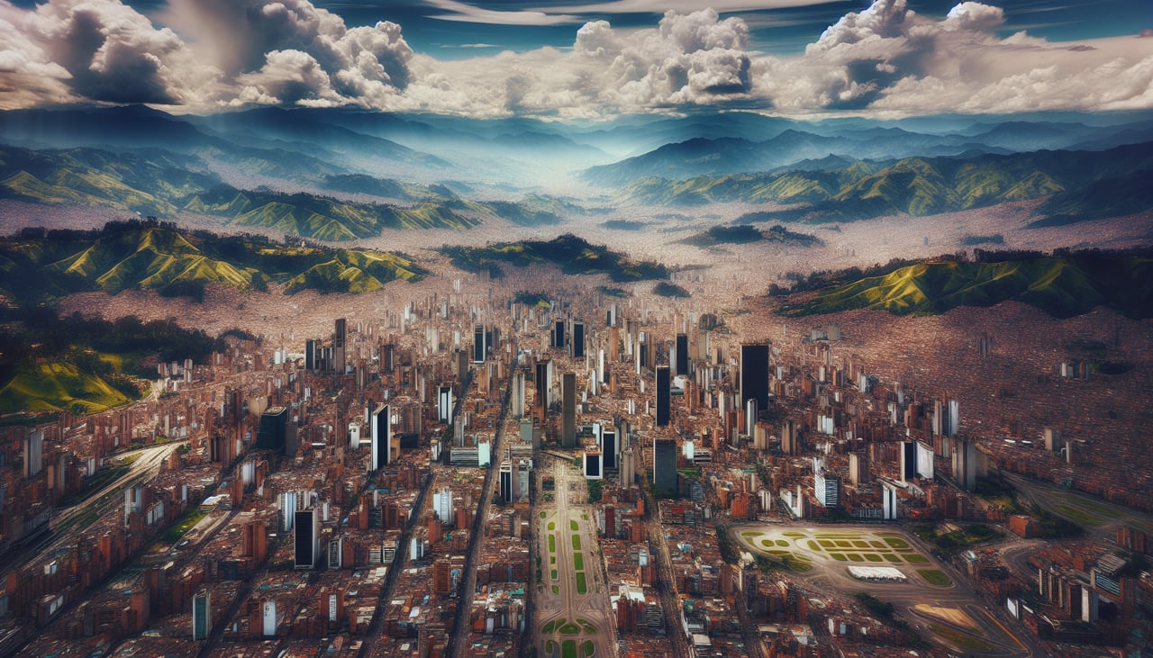
Takeoff from BOG
LEFTDeparting BOG to the south, the left (east) side shows the steep eastern hills of Bogota (Cerro Monserrate and Guadalupe) rising right against the city, then the Sumapaz massif's paramo highlands as the climb continues south. The right side mostly shows the flatter western savanna of the Bogota plateau.
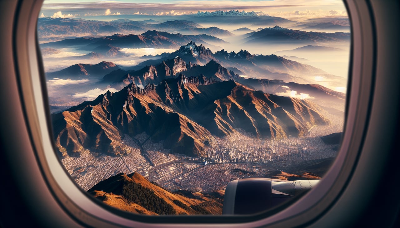
Landing at UIO
LEFTOn approach into Quito's valley from the north, the left (east) side reveals a chain of snow-capped volcanoes—Cotopaxi, Antisana, and Cayambe—rising above the eastern Andean ridge, some of the most dramatic peaks in the Andes. The right side shows the closer but single bulk of Pichincha volcano looming over the city.
Will your flight be in sunlight?
Pick a date and time in the Sun Map to watch the sun move across your whole flight.
About This Route
Which side of the plane should I sit on flying from Eldorado International (BOG) to Mariscal Sucre International Airport (UIO)?
Sit on the Left side of the plane for the best views on flights from Bogota to Quito. The left (east) side offers the strongest combination of Bogota's eastern hills at takeoff and a striking lineup of snow-capped volcanoes—Cotopaxi, Antisana, and Cayambe—visible during the approach into Quito, giving it more consistent and dramatic terrain throughout the flight.
What can I see during takeoff from Eldorado International in Bogota?
During takeoff from Eldorado International (BOG), sit on the Left side for the best views. Departing BOG to the south, the left (east) side shows the steep eastern hills of Bogota (Cerro Monserrate and Guadalupe) rising right against the city, then the Sumapaz massif's paramo highlands as the climb continues south. The right side mostly shows the flatter western savanna of the Bogota plateau. Notable sights include: Cerro Monserrate, Cerro de Guadalupe, Sumapaz paramo, eastern Cordillera Oriental ridgeline.
What can I see when landing at Mariscal Sucre International Airport in Quito?
When landing at Mariscal Sucre International Airport (UIO), sit on the Left side for the best views. On approach into Quito's valley from the north, the left (east) side reveals a chain of snow-capped volcanoes—Cotopaxi, Antisana, and Cayambe—rising above the eastern Andean ridge, some of the most dramatic peaks in the Andes. The right side shows the closer but single bulk of Pichincha volcano looming over the city. Notable sights include: Cotopaxi volcano, Antisana volcano, Cayambe volcano, eastern Andean cordillera ridge.
How long is the flight from Bogota to Quito?
The flight from Eldorado International (BOG) to Mariscal Sucre International Airport (UIO) takes about 1 hour 20 minutes. The shortest flight path between them is 442 miles (712 km); winds and air traffic control usually add a few percent.
What does the Bogota to Quito flight path pass over?
Cordillera Central and the Cauca River valley near Cali and Popayan, Galeras volcano near Pasto, and the volcanic border region near Chiles and Cumbal before descending into the Ecuadorian Andes toward Quito