Both sides spend the vast majority of this ultra-long-haul flight over open Pacific Ocean, capping their scores, but the left side gets the more interesting bookends: Washington D.C. and the Blue Ridge Mountains at departure, and the Great Australian Bight coastline at arrival, while the right side sees comparatively featureless farmland and outback scrub at both ends.
Flight Path
The flight path curves southwest across the continental U.S. near the Rockies and Great Basin before crossing thousands of miles of open Pacific Ocean, likely passing south of Hawaii and near the Melanesian island chains (Fiji/Samoa region) before descending toward the Australian coast — no land is visible for many consecutive hours during this open-water crossing.
Great circle distance and headings ›.jpeg?width=600)

.jpg?width=600)

.jpg?width=600)
.jpeg?width=600)
.jpg?width=600)

Phase by phase
Takeoff from BWI
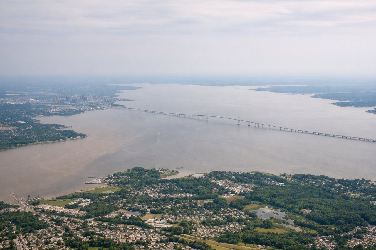
LEFTDeparting BWI westbound, the left side catches a fleeting look at Washington D.C.'s skyline and the Potomac before the Blue Ridge and Appalachian ridgelines rise on the horizon as the climb continues over Virginia and West Virginia. The right side only offers flat Pennsylvania farmland with no comparable landmarks.
Landing at KBY
LEFTOn final approach into Streaky Bay from the southeast, the left side faces the turquoise waters and jagged coastline of the Great Australian Bight, including the bay the town is named for. The right side shows only the flat, arid scrubland of the interior Eyre Peninsula with no coastal contrast.
Landmarks on this routeAll landmarks →
Will your flight be in sunlight?
See exactly which side of the plane gets sun and shade at your departure time.
About This Route
Which side of the plane should I sit on flying from Baltimore Washington International (BWI) to Streaky Bay Airport (KBY)?
Sit on the Left side of the plane for the best views on flights from Baltimore to Samara. Both sides spend the vast majority of this ultra-long-haul flight over open Pacific Ocean, capping their scores, but the left side gets the more interesting bookends: Washington D.C. and the Blue Ridge Mountains at departure, and the Great Australian Bight coastline at arrival, while the right side sees comparatively featureless farmland and outback scrub at both ends.
What can I see during takeoff from Baltimore Washington International in Baltimore?
During takeoff from Baltimore Washington International (BWI), sit on the Left side for the best views. Departing BWI westbound, the left side catches a fleeting look at Washington D.C.'s skyline and the Potomac before the Blue Ridge and Appalachian ridgelines rise on the horizon as the climb continues over Virginia and West Virginia. The right side only offers flat Pennsylvania farmland with no comparable landmarks. Notable sights include: Washington D.C. skyline, Potomac River, Blue Ridge Mountains, Shenandoah Valley ridgelines.
What can I see when landing at Streaky Bay Airport in Samara?
When landing at Streaky Bay Airport (KBY), sit on the Left side for the best views. On final approach into Streaky Bay from the southeast, the left side faces the turquoise waters and jagged coastline of the Great Australian Bight, including the bay the town is named for. The right side shows only the flat, arid scrubland of the interior Eyre Peninsula with no coastal contrast. Notable sights include: Great Australian Bight, Streaky Bay township and inlet, Eyre Peninsula coastal cliffs, Baird Bay area.
How long is the flight from Baltimore to Samara?
The flight from Baltimore Washington International (BWI) to Streaky Bay Airport (KBY) takes 19h 05m.
What does the Baltimore to Samara flight path pass over?
The flight path curves southwest across the continental U.S. near the Rockies and Great Basin before crossing thousands of miles of open Pacific Ocean, likely passing south of Hawaii and near the Melanesian island chains (Fiji/Samoa region) before descending toward the Australian coast — no land is visible for many consecutive hours during this open-water crossing.