Although most of this ultra-long crossing is open Pacific Ocean visible equally from both sides, the left side benefits more from the North American continental crossing and the Baltimore approach, where Appalachian ridgelines and the city's harbor skyline add genuine scenic value near the end of the flight.
Flight Path
The route crosses the vast central and southern Pacific Ocean, passing well south of Hawaii with no land visible for many hours, before reaching the North American coastline near Northern California and continuing over the Rockies, Great Plains, and Appalachians toward the East Coast.
Great circle distance and headings ›
.jpg?width=600)
.jpeg?width=600)
.jpg?width=600)

.jpg?width=600)

.jpeg?width=600)
Phase by phase
Takeoff from KBY
RIGHTStreaky Bay sits directly on its namesake bay on the Eyre Peninsula, and as the aircraft climbs out and banks toward its easterly track, the right side gets a brief but genuine look at the turquoise coastal waters, white sand shoreline, and small offshore islands before the outback and ocean take over. The left side mostly shows flat mallee scrubland receding quickly.
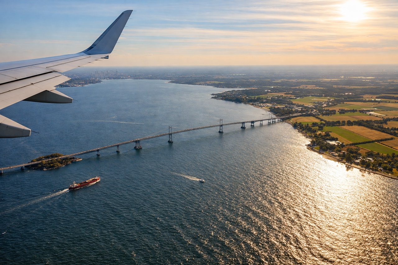
Landing at BWI
LEFTOn a westerly approach into BWI, the left side faces north toward Baltimore's downtown skyline, the Inner Harbor, and the Patapsco River estuary as the aircraft descends over Maryland's Piedmont countryside. The right side mainly shows quieter suburban land and the upper Chesapeake Bay tributaries, less visually distinct.
Landmarks on this routeAll landmarks →
Will your flight be in sunlight?
See exactly which side of the plane gets sun and shade at your departure time.
About This Route
Which side of the plane should I sit on flying from Streaky Bay Airport (KBY) to Baltimore Washington International (BWI)?
Sit on the Left side of the plane for the best views on flights from Samara to Baltimore. Although most of this ultra-long crossing is open Pacific Ocean visible equally from both sides, the left side benefits more from the North American continental crossing and the Baltimore approach, where Appalachian ridgelines and the city's harbor skyline add genuine scenic value near the end of the flight.
What can I see during takeoff from Streaky Bay Airport in Samara?
During takeoff from Streaky Bay Airport (KBY), sit on the Right side for the best views. Streaky Bay sits directly on its namesake bay on the Eyre Peninsula, and as the aircraft climbs out and banks toward its easterly track, the right side gets a brief but genuine look at the turquoise coastal waters, white sand shoreline, and small offshore islands before the outback and ocean take over. The left side mostly shows flat mallee scrubland receding quickly. Notable sights include: Streaky Bay township and inlet, Eyre Peninsula coastline, Nuyts Archipelago islets, Great Australian Bight's eastern edge.
What can I see when landing at Baltimore Washington International in Baltimore?
When landing at Baltimore Washington International (BWI), sit on the Left side for the best views. On a westerly approach into BWI, the left side faces north toward Baltimore's downtown skyline, the Inner Harbor, and the Patapsco River estuary as the aircraft descends over Maryland's Piedmont countryside. The right side mainly shows quieter suburban land and the upper Chesapeake Bay tributaries, less visually distinct. Notable sights include: Baltimore Inner Harbor skyline, Patapsco River estuary, Appalachian foothills fading behind, upper Chesapeake Bay.
How long is the flight from Samara to Baltimore?
The flight from Streaky Bay Airport (KBY) to Baltimore Washington International (BWI) takes 18h45m.
What does the Samara to Baltimore flight path pass over?
The route crosses the vast central and southern Pacific Ocean, passing well south of Hawaii with no land visible for many hours, before reaching the North American coastline near Northern California and continuing over the Rockies, Great Plains, and Appalachians toward the East Coast.