While takeoff offers the Nile Delta's geometric beauty, the landing approach over Lake Victoria and Kampala provides more dramatic and varied scenery. Lake Victoria's scale and the contrast between water and developed shoreline create a more memorable final descent experience.
Flight Path
The flight path crosses central Uganda's landscape: the White Nile valley (visible around Jinja area with its distinctive river gorge), Lake Kyoga (a large inland water body), and the transition from northern savanna grasslands to the more vegetated southwestern regions. The terrain gradually shifts from Egypt's flat desert through Sudan's semi-arid plains to Uganda's greener, more topographically varied landscape with numerous smaller lakes and river systems.
Great circle distance and headings ›.jpg?width=600)


Phase by phase
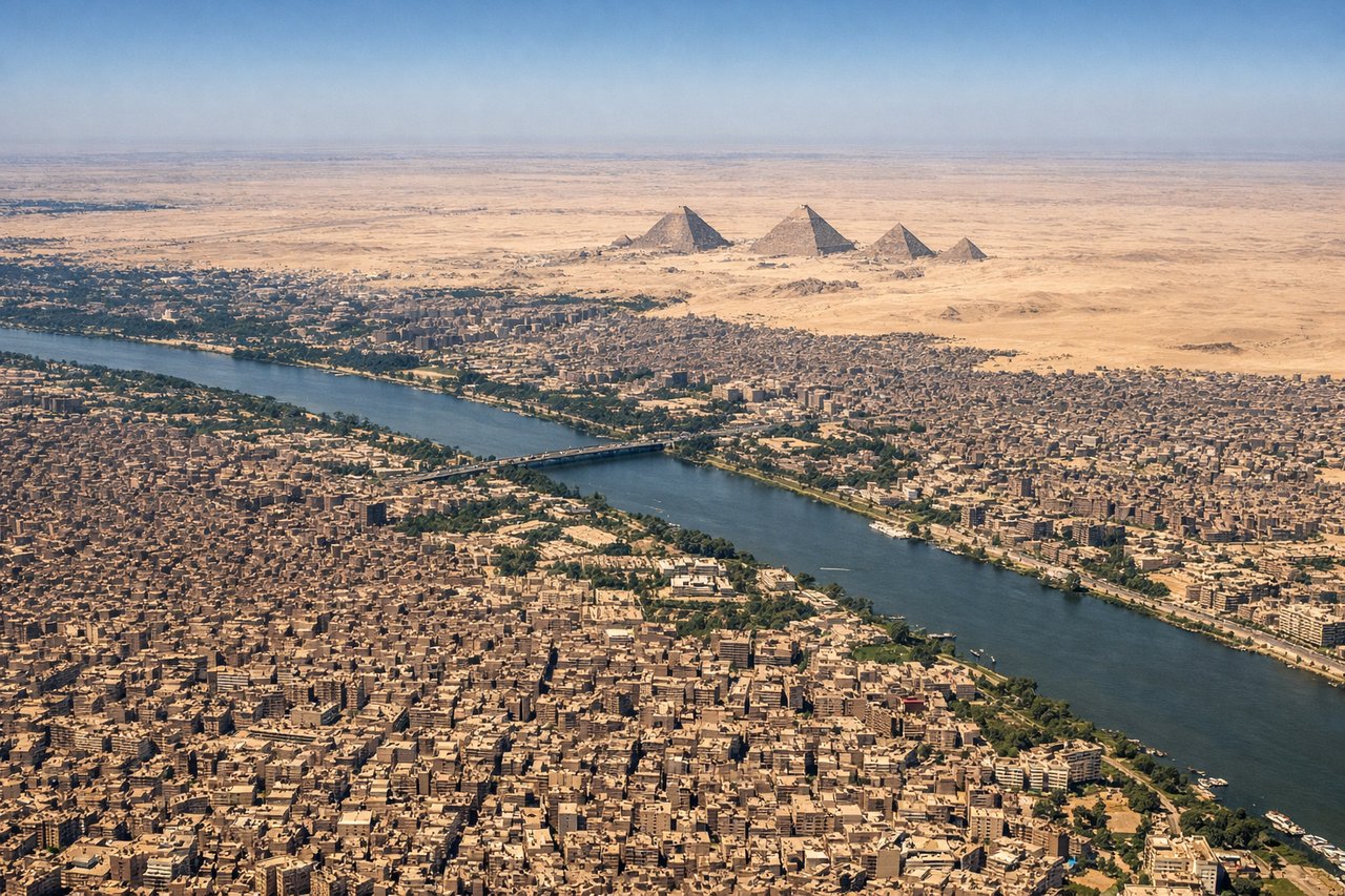
Takeoff from CAI
RIGHTRight-side seats offer views of the Nile Delta's intricate waterways and agricultural fields immediately after departure. The aircraft climbs southward, and right-side passengers see the dense green patchwork of delta irrigation contrasting sharply with the desert.
Landing at EBB
LEFTLeft-side seats provide excellent views of Lake Victoria's northern shoreline and the Kampala cityscape as the aircraft descends toward Entebbe. The lake's irregular coastline with its numerous peninsulas and islands is visually striking during final approach.
Landmarks on this routeAll landmarks →
Will your flight be in sunlight?
See exactly which side of the plane gets sun and shade at your departure time.
About This Route
Which side of the plane should I sit on flying from Cairo International (CAI) to Entebbe International (EBB)?
Sit on the Left side of the plane for the best views on flights from Cairo to Entebbe. While takeoff offers the Nile Delta's geometric beauty, the landing approach over Lake Victoria and Kampala provides more dramatic and varied scenery. Lake Victoria's scale and the contrast between water and developed shoreline create a more memorable final descent experience.
What can I see during takeoff from Cairo International in Cairo?
During takeoff from Cairo International (CAI), sit on the Right side for the best views. Right-side seats offer views of the Nile Delta's intricate waterways and agricultural fields immediately after departure. The aircraft climbs southward, and right-side passengers see the dense green patchwork of delta irrigation contrasting sharply with the desert. Notable sights include: Nile Delta (immediate), Cairo metropolitan sprawl, Lake Manzala (northeastern), Mediterranean coastline (distant north).
What can I see when landing at Entebbe International in Entebbe?
When landing at Entebbe International (EBB), sit on the Left side for the best views. Left-side seats provide excellent views of Lake Victoria's northern shoreline and the Kampala cityscape as the aircraft descends toward Entebbe. The lake's irregular coastline with its numerous peninsulas and islands is visually striking during final approach. Notable sights include: Lake Victoria (dominant), Kampala city (northwest), Entebbe peninsula, Ssese Islands (western lake).
How long is the flight from Cairo to Entebbe?
The flight from Cairo International (CAI) to Entebbe International (EBB) takes Approximately 4 hours 15 minutes.
What does the Cairo to Entebbe flight path pass over?
The flight path crosses central Uganda's landscape: the White Nile valley (visible around Jinja area with its distinctive river gorge), Lake Kyoga (a large inland water body), and the transition from northern savanna grasslands to the more vegetated southwestern regions. The terrain gradually shifts from Egypt's flat desert through Sudan's semi-arid plains to Uganda's greener, more topographically varied landscape with numerous smaller lakes and river systems.