Cleveland to Denver is 1,198 miles (1,928 km), a flight of about 3 hours 10 minutes.
The right side wins on both ends of the flight: Lake Erie and Cleveland's skyline during departure, and the dramatic Front Range of the Rockies during the Denver approach, while the left side mostly shows flat, featureless farmland throughout.
Flight Path
The route crosses the flat agricultural plains of Ohio, Indiana, Illinois, and Iowa, passing near the Mississippi River, before the terrain gradually rises into the high plains of Nebraska and eastern Colorado ahead of the Front Range.
Great circle distance and headings ›

Phase by phase
Takeoff from CLE
RIGHTDeparting CLE to the southwest, the climb-out banks the aircraft so Lake Erie's shoreline and downtown Cleveland's skyline (including the lakefront and Cleveland Browns Stadium area) fall on the right side of the plane before the route turns westward inland.
Landing at DEN
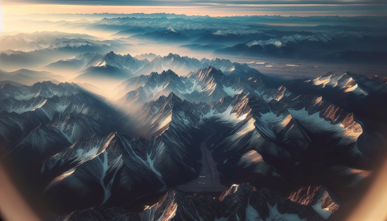
RIGHTOn approach to DEN, prevailing south winds typically favor the 17-series runways, meaning the aircraft descends heading south with the Front Range of the Rocky Mountains visible off to the right, their snow-capped peaks contrasting with the flat plains below.
Landmarks on this routeAll landmarks →
Will your flight be in sunlight?
Pick a date and time in the Sun Map to watch the sun move across your whole flight.
About This Route
Which side of the plane should I sit on flying from Cleveland Hopkins International (CLE) to Denver International (DEN)?
Sit on the Right side of the plane for the best views on flights from Cleveland to Denver. The right side wins on both ends of the flight: Lake Erie and Cleveland's skyline during departure, and the dramatic Front Range of the Rockies during the Denver approach, while the left side mostly shows flat, featureless farmland throughout.
What can I see during takeoff from Cleveland Hopkins International in Cleveland?
During takeoff from Cleveland Hopkins International (CLE), sit on the Right side for the best views. Departing CLE to the southwest, the climb-out banks the aircraft so Lake Erie's shoreline and downtown Cleveland's skyline (including the lakefront and Cleveland Browns Stadium area) fall on the right side of the plane before the route turns westward inland. Notable sights include: Lake Erie shoreline, downtown Cleveland skyline, Cuyahoga River mouth.
What can I see when landing at Denver International in Denver?
When landing at Denver International (DEN), sit on the Right side for the best views. On approach to DEN, prevailing south winds typically favor the 17-series runways, meaning the aircraft descends heading south with the Front Range of the Rocky Mountains visible off to the right, their snow-capped peaks contrasting with the flat plains below. Notable sights include: Front Range of the Rockies, Longs Peak, Denver's downtown skyline, South Platte River valley.
How long is the flight from Cleveland to Denver?
The flight from Cleveland Hopkins International (CLE) to Denver International (DEN) takes about 3 hours 10 minutes. The shortest flight path between them is 1,198 miles (1,928 km); winds and air traffic control usually add a few percent.
What does the Cleveland to Denver flight path pass over?
The route crosses the flat agricultural plains of Ohio, Indiana, Illinois, and Iowa, passing near the Mississippi River, before the terrain gradually rises into the high plains of Nebraska and eastern Colorado ahead of the Front Range.