Delhi to Bhubaneswar is 793 miles (1,277 km), a flight of about 2 hours 10 minutes.
While most of the route crosses flat central Indian plains with little terrain variation, the right side gains an edge from the genuine coastal and lagoon scenery visible during the Bhubaneswar approach, which the Delhi departure side cannot match with its urban-only view.
Flight Path
The route crosses the flat Gangetic and Chhattisgarh plains, passing near the Mahanadi River basin before descending into the coastal lowlands of Odisha.
Great circle distance and headings ›Phase by phase
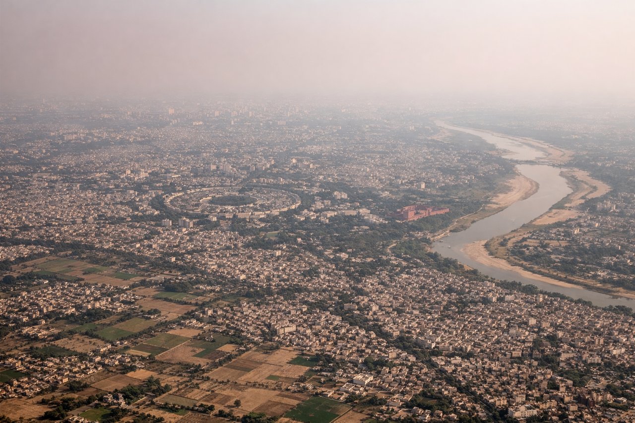
Takeoff from DEL
LEFTDeparting DEL to the southeast typically involves a left turn after takeoff, putting Delhi's sprawling cityscape and the Yamuna River beneath the left-side windows before the flight settles onto its southeasterly track. The low Aravalli ridge south of the city adds a bit of relief to otherwise flat terrain.
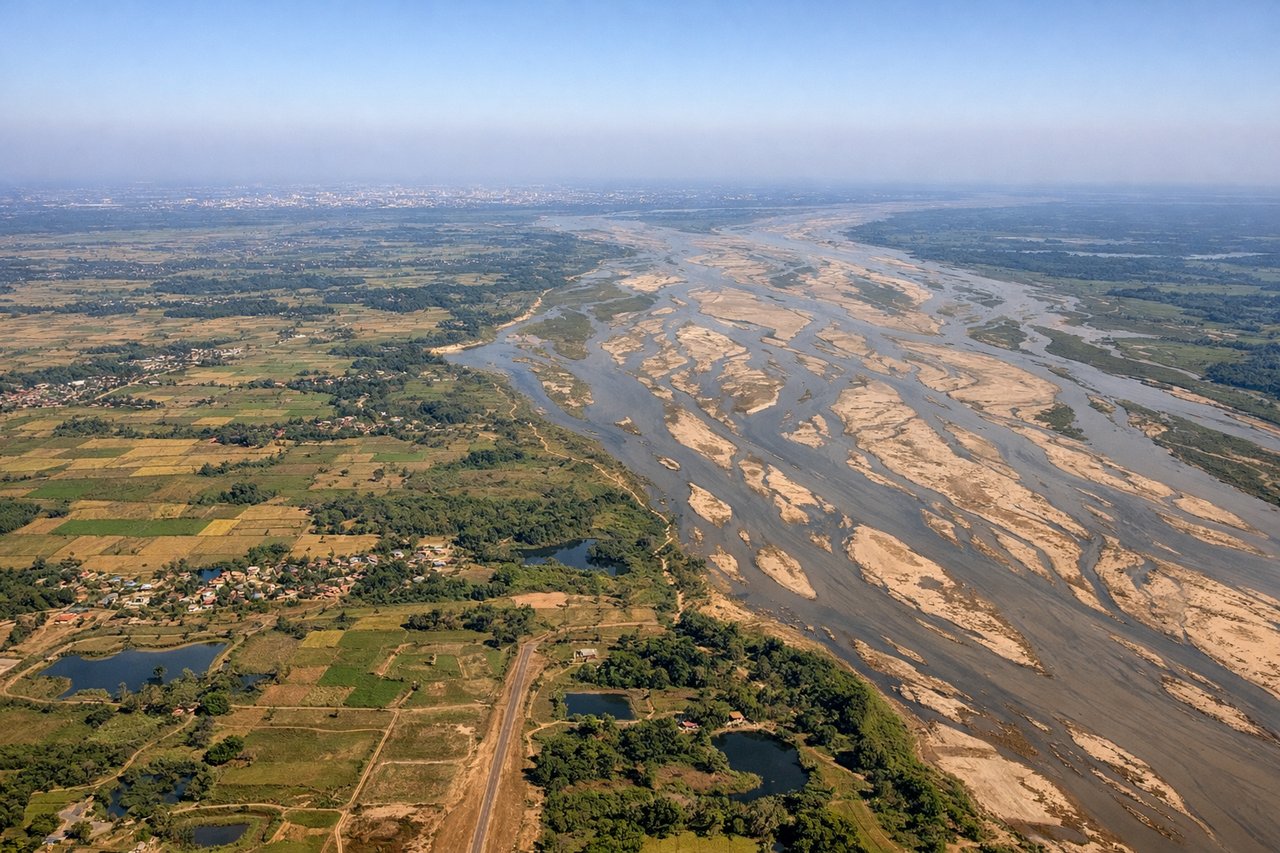
Landing at BBI
RIGHTOn approach into BBI from the northwest, the right side offers a glimpse of Chilika Lake, Asia's largest coastal lagoon, along with a hazy view of the Bay of Bengal coastline beyond it. This coastal and wetland scenery stands out against the otherwise flat agricultural plains surrounding Bhubaneswar.
Landmarks on this routeAll landmarks →
Will your flight be in sunlight?
Pick a date and time in the Sun Map to watch the sun move across your whole flight.
About This Route
Which side of the plane should I sit on flying from Indira Gandhi International (DEL) to Bhubaneshwar (BBI)?
Sit on the Right side of the plane for the best views on flights from Delhi to Bhubaneswar. While most of the route crosses flat central Indian plains with little terrain variation, the right side gains an edge from the genuine coastal and lagoon scenery visible during the Bhubaneswar approach, which the Delhi departure side cannot match with its urban-only view.
What can I see during takeoff from Indira Gandhi International in Delhi?
During takeoff from Indira Gandhi International (DEL), sit on the Left side for the best views. Departing DEL to the southeast typically involves a left turn after takeoff, putting Delhi's sprawling cityscape and the Yamuna River beneath the left-side windows before the flight settles onto its southeasterly track. The low Aravalli ridge south of the city adds a bit of relief to otherwise flat terrain. Notable sights include: Delhi urban sprawl, Yamuna River, Aravalli hill ridge, Gurgaon/NCR skyline.
What can I see when landing at Bhubaneshwar in Bhubaneswar?
When landing at Bhubaneshwar (BBI), sit on the Right side for the best views. On approach into BBI from the northwest, the right side offers a glimpse of Chilika Lake, Asia's largest coastal lagoon, along with a hazy view of the Bay of Bengal coastline beyond it. This coastal and wetland scenery stands out against the otherwise flat agricultural plains surrounding Bhubaneswar. Notable sights include: Chilika Lake, Bay of Bengal coastline, Mahanadi River delta channels, Bhubaneswar city outskirts.
How long is the flight from Delhi to Bhubaneswar?
The flight from Indira Gandhi International (DEL) to Bhubaneshwar (BBI) takes about 2 hours 10 minutes. The shortest flight path between them is 793 miles (1,277 km); winds and air traffic control usually add a few percent.
What does the Delhi to Bhubaneswar flight path pass over?
The route crosses the flat Gangetic and Chhattisgarh plains, passing near the Mahanadi River basin before descending into the coastal lowlands of Odisha.