Delhi to Calcutta is 816 miles (1,313 km), a flight of about 2 hours 15 minutes.
While takeoff favors the right, the landing approach provides more dramatic and sustained views of the Hooghly River and Calcutta's historic riverfront—the most distinctive geographic feature of this route. The landing experience outweighs the takeoff advantage.
Flight Path
The flight path crosses the Gangetic Plain from west to east. Notable features include the Ganges River itself (visible as a major waterway around the Varanasi region if slightly north of direct routing), scattered towns and agricultural fields across Bihar and Jharkhand, and the transition from the Indo-Gangetic Plain's flat terrain to slightly more undulating ground as you approach Bengal. The Damodar River valley may be visible to the south depending on exact routing. No major mountain ranges intersect this route—the Himalayas lie well to the north.
Great circle distance and headings ›Phase by phase
Takeoff from DEL
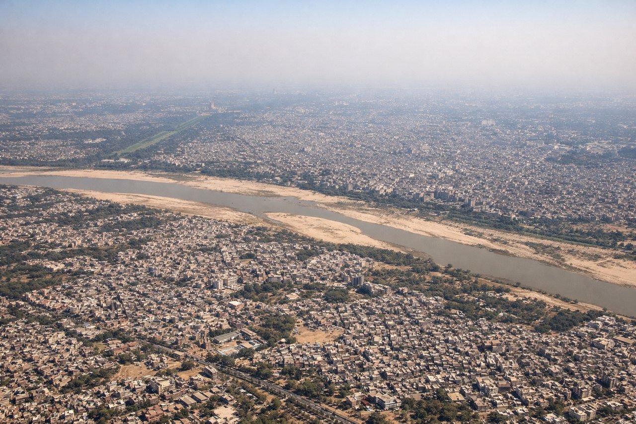
RIGHTDEL typically departs runway 09L/09R (westbound) or 27L/27R (eastbound). Right-side seats offer views of the Yamuna River floodplain and the sprawling southern suburbs of Delhi during initial climb. Westbound departures (more common) provide the clearest view of the city's eastern expansion and the river's meanders.
Landing at CCU
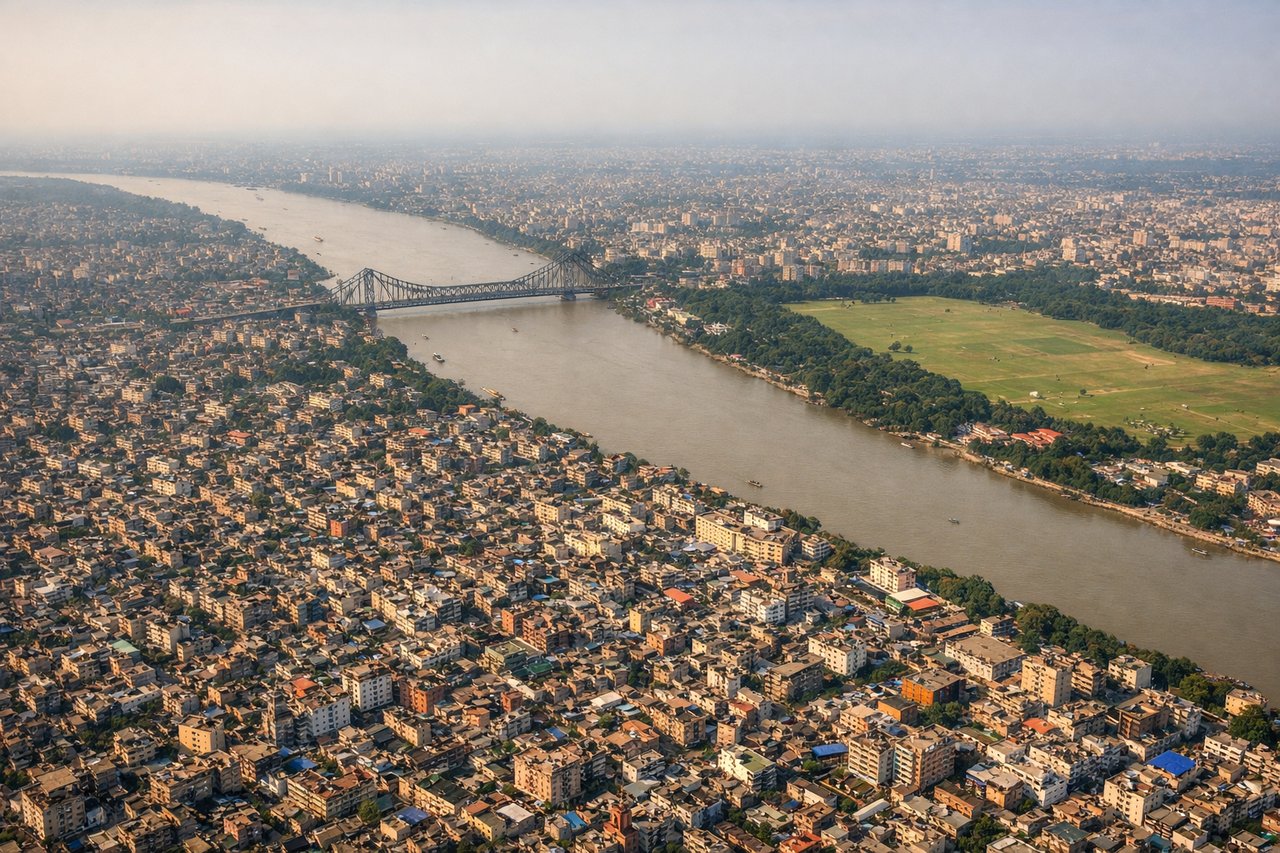
LEFTCCU uses runways 10/28. Approach vectors typically come from the west or northwest. Left-side seats provide excellent views of the Hooghly River (Ganges distributary) and Calcutta's riverfront districts during descent. The river's distinctive curves and the city's colonial-era layout are clearly visible from 8,000-12,000 feet.
Landmarks on this routeAll landmarks →
Will your flight be in sunlight?
Pick a date and time in the Sun Map to watch the sun move across your whole flight.
About This Route
Which side of the plane should I sit on flying from Indira Gandhi International (DEL) to Netaji Subhash Chandra Bose International (CCU)?
Sit on the Left side of the plane for the best views on flights from Delhi to Calcutta. While takeoff favors the right, the landing approach provides more dramatic and sustained views of the Hooghly River and Calcutta's historic riverfront—the most distinctive geographic feature of this route. The landing experience outweighs the takeoff advantage.
What can I see during takeoff from Indira Gandhi International in Delhi?
During takeoff from Indira Gandhi International (DEL), sit on the Right side for the best views. DEL typically departs runway 09L/09R (westbound) or 27L/27R (eastbound). Right-side seats offer views of the Yamuna River floodplain and the sprawling southern suburbs of Delhi during initial climb. Westbound departures (more common) provide the clearest view of the city's eastern expansion and the river's meanders. Notable sights include: Yamuna River (visible as a distinct silvery ribbon below), Delhi's southern urban sprawl extending toward Noida, Aravalli Hills as a distant hazy ridge to the south, Indira Gandhi International Airport complex itself receding below.
What can I see when landing at Netaji Subhash Chandra Bose International in Calcutta?
When landing at Netaji Subhash Chandra Bose International (CCU), sit on the Left side for the best views. CCU uses runways 10/28. Approach vectors typically come from the west or northwest. Left-side seats provide excellent views of the Hooghly River (Ganges distributary) and Calcutta's riverfront districts during descent. The river's distinctive curves and the city's colonial-era layout are clearly visible from 8,000-12,000 feet. Notable sights include: Hooghly River with its characteristic bends and ghats, Calcutta's dense urban core on the eastern bank, Howrah Bridge area (visible as a distinct crossing point), Salt Lake City (Bidhannagar) as a planned grid development to the northeast.
How long is the flight from Delhi to Calcutta?
The flight from Indira Gandhi International (DEL) to Netaji Subhash Chandra Bose International (CCU) takes about 2 hours 15 minutes. The shortest flight path between them is 816 miles (1,313 km); winds and air traffic control usually add a few percent.
What does the Delhi to Calcutta flight path pass over?
The flight path crosses the Gangetic Plain from west to east. Notable features include the Ganges River itself (visible as a major waterway around the Varanasi region if slightly north of direct routing), scattered towns and agricultural fields across Bihar and Jharkhand, and the transition from the Indo-Gangetic Plain's flat terrain to slightly more undulating ground as you approach Bengal. The Damodar River valley may be visible to the south depending on exact routing. No major mountain ranges intersect this route—the Himalayas lie well to the north.