Right side captures the most dramatic scenery: the Persian Gulf departure, the Red Sea crossing, the Nile Delta approach, and the East African highlands during descent. Left side offers less consistent visual interest across the 7+ hour flight.
Flight Path
The flight path crosses the Red Sea (stunning turquoise waters and coral reef patterns visible around 2.5 hours), the Sinai Peninsula's desert terrain, the Nile Delta's green agricultural lands contrasting sharply with surrounding desert, the Nile River valley, the Eastern Desert plateau, and finally the East African highlands including the Ethiopian plateau and Kenya's Rift Valley escarpment before descending into the Highveld plateau of South Africa.
Great circle distance and headings ›
.jpg?width=600)

Phase by phase
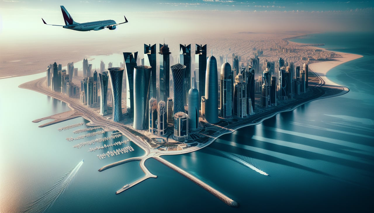
Takeoff from DOH
RIGHTRight side offers views of Doha's coastal development and the Persian Gulf shoreline as the aircraft climbs southwestward. The left side faces inland desert with minimal visual interest during the initial climb.
Landing at GCJ
LEFTLeft side provides views of the Witwatersrand ridge and Johannesburg's urban sprawl during descent into OR Tambo. The right side faces open grassland and mining areas with less distinctive landmarks.
Landmarks on this routeAll landmarks →
Will your flight be in sunlight?
See exactly which side of the plane gets sun and shade at your departure time.
About This Route
Which side of the plane should I sit on flying from Hamad International Airport (DOH) to Grand Central (GCJ)?
Sit on the Right side of the plane for the best views on flights from Doha to Johannesburg. Right side captures the most dramatic scenery: the Persian Gulf departure, the Red Sea crossing, the Nile Delta approach, and the East African highlands during descent. Left side offers less consistent visual interest across the 7+ hour flight.
What can I see during takeoff from Hamad International Airport in Doha?
During takeoff from Hamad International Airport (DOH), sit on the Right side for the best views. Right side offers views of Doha's coastal development and the Persian Gulf shoreline as the aircraft climbs southwestward. The left side faces inland desert with minimal visual interest during the initial climb. Notable sights include: Doha waterfront and Corniche, Persian Gulf coastline, West Bay district high-rises, Lusail development to the north.
What can I see when landing at Grand Central in Johannesburg?
When landing at Grand Central (GCJ), sit on the Left side for the best views. Left side provides views of the Witwatersrand ridge and Johannesburg's urban sprawl during descent into OR Tambo. The right side faces open grassland and mining areas with less distinctive landmarks. Notable sights include: Witwatersrand escarpment, Johannesburg city center and northern suburbs, OR Tambo International Airport, Soweto township to the southwest.
How long is the flight from Doha to Johannesburg?
The flight from Hamad International Airport (DOH) to Grand Central (GCJ) takes Approximately 7 hours 15 minutes.
What does the Doha to Johannesburg flight path pass over?
The flight path crosses the Red Sea (stunning turquoise waters and coral reef patterns visible around 2.5 hours), the Sinai Peninsula's desert terrain, the Nile Delta's green agricultural lands contrasting sharply with surrounding desert, the Nile River valley, the Eastern Desert plateau, and finally the East African highlands including the Ethiopian plateau and Kenya's Rift Valley escarpment before descending into the Highveld plateau of South Africa.