The left side captures Hong Kong's dramatic harbor skyline on departure and Cebu's mountainous interior on arrival, while the right side mostly faces open South China Sea during both phases.
Flight Path
South China Sea open water, with the route passing near the western coast of Luzon and through the Visayan Sea before reaching Cebu.
Great circle distance and headings ›
.jpg?width=600)


Phase by phase
Takeoff from HKG
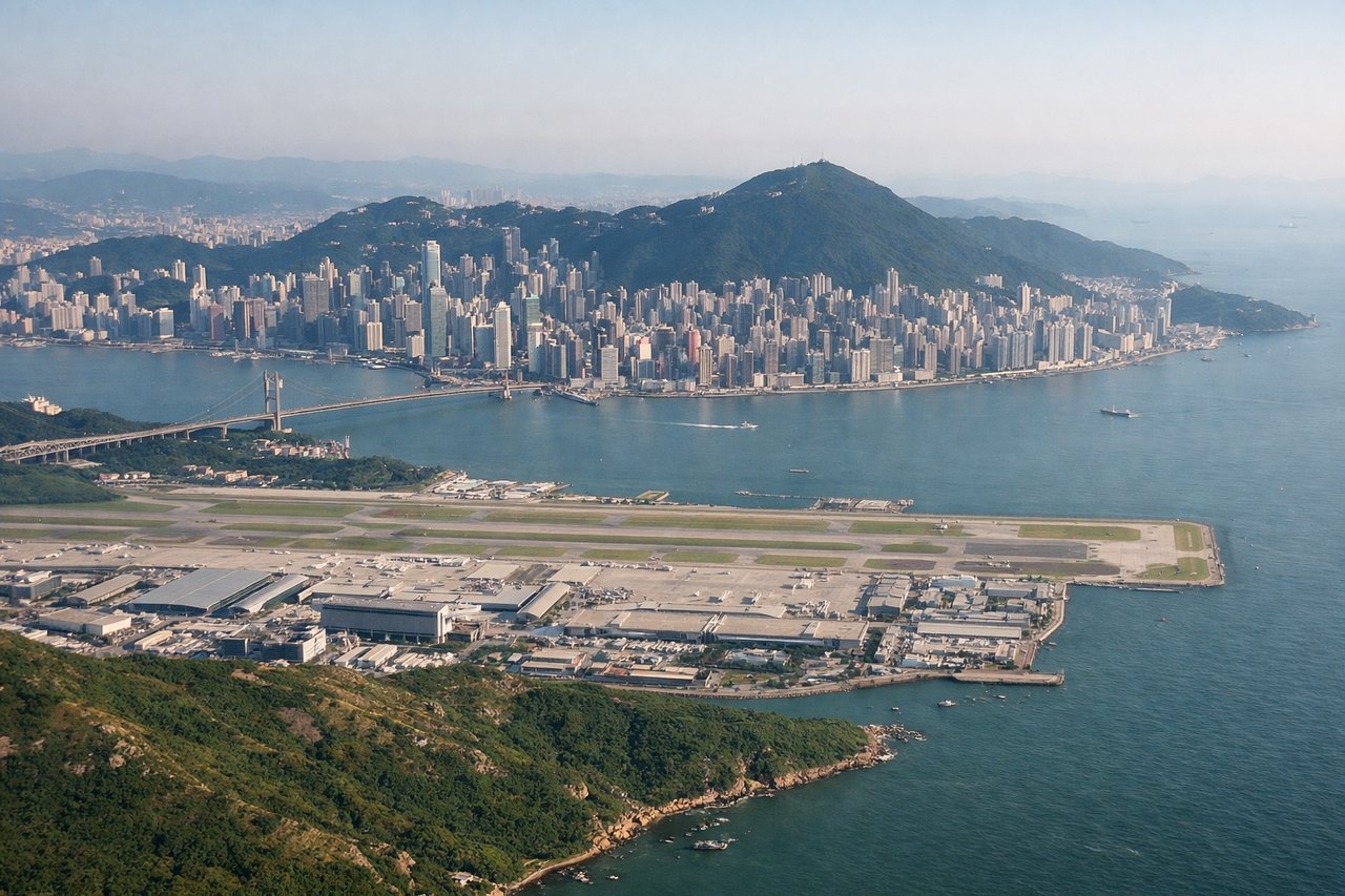
LEFTDeparting HKG southbound, the climb-out banks the aircraft so Hong Kong Island, Kowloon's skyline, and Victoria Harbour fall on the left side. The steep green peaks of Lantau and Hong Kong Island add dramatic relief rarely seen on departure from most Asian hubs.
Landing at CEB
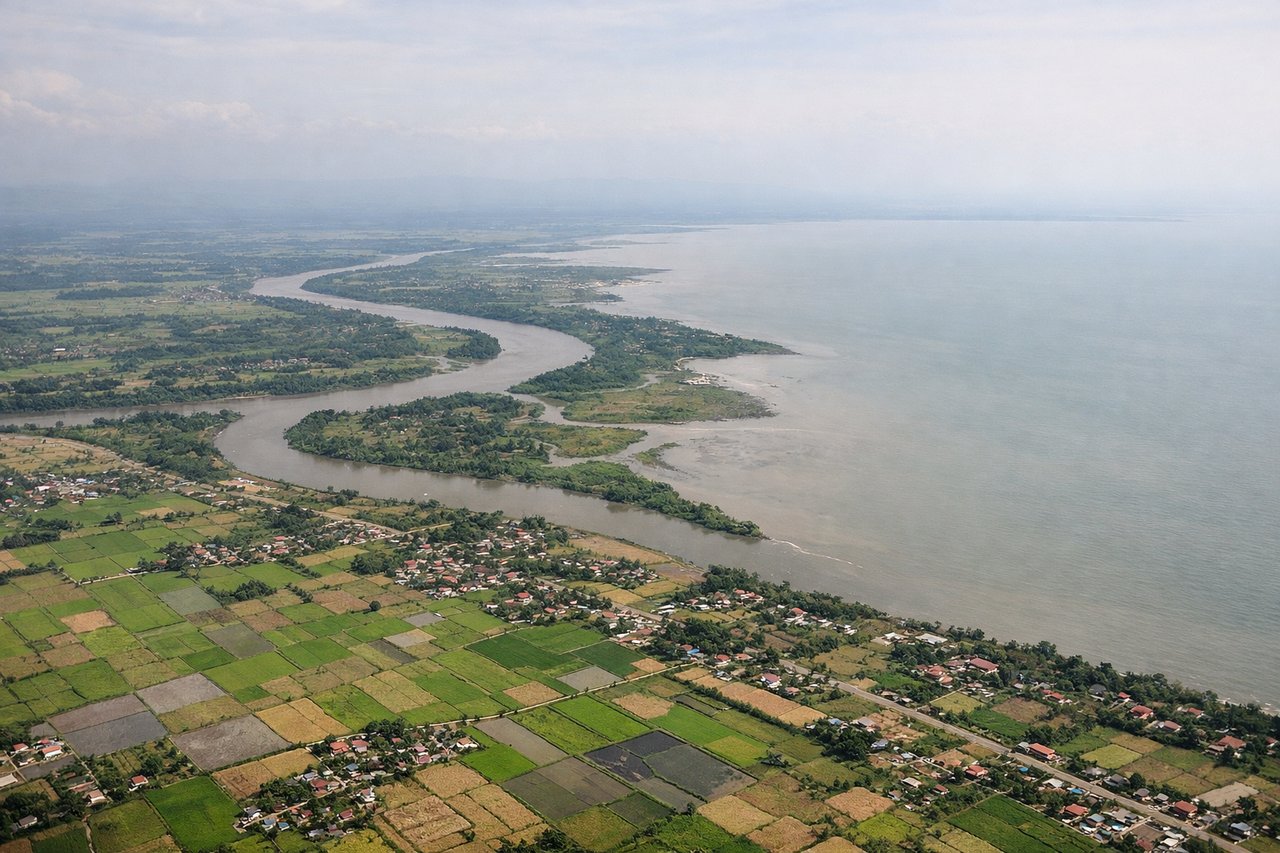
LEFTOn approach into Mactan-Cebu, the final turn typically brings the rugged, jungle-covered central mountain spine of Cebu Island into view on the left, contrasting with the flatter reclaimed land and open Cebu Strait on the right. The mainland ridgeline and Cebu City's coastal sprawl give the left side more texture during descent.
Landmarks on this routeAll landmarks →
Will your flight be in sunlight?
See exactly which side of the plane gets sun and shade at your departure time.
About This Route
Which side of the plane should I sit on flying from Hong Kong International (HKG) to Mactan Cebu International Airport (CEB)?
Sit on the Left side of the plane for the best views on flights from Hong Kong to Cebu. The left side captures Hong Kong's dramatic harbor skyline on departure and Cebu's mountainous interior on arrival, while the right side mostly faces open South China Sea during both phases.
What can I see during takeoff from Hong Kong International in Hong Kong?
During takeoff from Hong Kong International (HKG), sit on the Left side for the best views. Departing HKG southbound, the climb-out banks the aircraft so Hong Kong Island, Kowloon's skyline, and Victoria Harbour fall on the left side. The steep green peaks of Lantau and Hong Kong Island add dramatic relief rarely seen on departure from most Asian hubs. Notable sights include: Victoria Harbour, Hong Kong Island skyline, Lantau Island peaks, Kowloon Peninsula.
What can I see when landing at Mactan Cebu International Airport in Cebu?
When landing at Mactan Cebu International Airport (CEB), sit on the Left side for the best views. On approach into Mactan-Cebu, the final turn typically brings the rugged, jungle-covered central mountain spine of Cebu Island into view on the left, contrasting with the flatter reclaimed land and open Cebu Strait on the right. The mainland ridgeline and Cebu City's coastal sprawl give the left side more texture during descent. Notable sights include: Central Cebu mountain range, Cebu City coastline, Cebu Strait, Mactan Channel.
How long is the flight from Hong Kong to Cebu?
The flight from Hong Kong International (HKG) to Mactan Cebu International Airport (CEB) takes 2h 15m.
What does the Hong Kong to Cebu flight path pass over?
South China Sea open water, with the route passing near the western coast of Luzon and through the Visayan Sea before reaching Cebu.