Hong Kong to Nanjing is 719 miles (1,156 km), a flight of about 2 hours 10 minutes.
While takeoff on the right offers good Hong Kong views, the landing approach on the left provides the more dramatic and geographically distinctive scenery—the Yangtze River's meanders and the transition from plain to city are more visually rewarding than the departure sequence.
Flight Path
The flight path crosses the South China Sea heading northwest, passing over or near the Fujian coast (visible as a distant landmass if conditions permit), then transitions over the Jiangxi and Anhui provinces. The Yangtze River becomes visible in the descent phase as the dominant geographical feature. No major mountain ranges are directly on the standard flight corridor, but the Wuyi Mountains lie to the west of the route and are not typically visible from cruise altitude.
Great circle distance and headings ›

Phase by phase
Takeoff from HKG
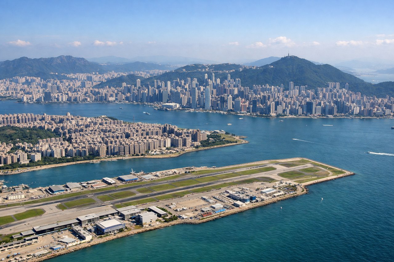
RIGHTHKG typically departs runway 07L or 07R heading northeast. Right-side seats offer views of Victoria Harbour and Kowloon Peninsula as you climb out over Hong Kong Island, with the urban sprawl and water features clearly visible during the initial climb phase.
Landing at NKG
LEFTNKG approaches from the northeast on runway 06 or similar heading. Left-side seats during descent offer views of the Yangtze River and its distinctive meanders, plus the surrounding Jiangsu plain with agricultural patchwork and the city of Nanjing itself becoming visible as you descend toward the airport.
Landmarks on this routeAll landmarks →
Will your flight be in sunlight?
Pick a date and time in the Sun Map to watch the sun move across your whole flight.
About This Route
Which side of the plane should I sit on flying from Hong Kong International (HKG) to Lu Kou Airport (NKG)?
Sit on the Left side of the plane for the best views on flights from Hong Kong to Nanjing. While takeoff on the right offers good Hong Kong views, the landing approach on the left provides the more dramatic and geographically distinctive scenery—the Yangtze River's meanders and the transition from plain to city are more visually rewarding than the departure sequence.
What can I see during takeoff from Hong Kong International in Hong Kong?
During takeoff from Hong Kong International (HKG), sit on the Right side for the best views. HKG typically departs runway 07L or 07R heading northeast. Right-side seats offer views of Victoria Harbour and Kowloon Peninsula as you climb out over Hong Kong Island, with the urban sprawl and water features clearly visible during the initial climb phase. Notable sights include: Victoria Harbour (immediate offshore), Kowloon Peninsula (north across water), Hong Kong Island urban districts (south), New Territories (receding northward).
What can I see when landing at Lu Kou Airport in Nanjing?
When landing at Lu Kou Airport (NKG), sit on the Left side for the best views. NKG approaches from the northeast on runway 06 or similar heading. Left-side seats during descent offer views of the Yangtze River and its distinctive meanders, plus the surrounding Jiangsu plain with agricultural patchwork and the city of Nanjing itself becoming visible as you descend toward the airport. Notable sights include: Yangtze River (major serpentine feature), Nanjing city (urban cluster), Jiangsu agricultural plain (geometric field patterns), Purple Mountain/Zhongshan (eastern city landmark).
How long is the flight from Hong Kong to Nanjing?
The flight from Hong Kong International (HKG) to Lu Kou Airport (NKG) takes about 2 hours 10 minutes. The shortest flight path between them is 719 miles (1,156 km); winds and air traffic control usually add a few percent.
What does the Hong Kong to Nanjing flight path pass over?
The flight path crosses the South China Sea heading northwest, passing over or near the Fujian coast (visible as a distant landmass if conditions permit), then transitions over the Jiangxi and Anhui provinces. The Yangtze River becomes visible in the descent phase as the dominant geographical feature. No major mountain ranges are directly on the standard flight corridor, but the Wuyi Mountains lie to the west of the route and are not typically visible from cruise altitude.