The left side wins overall because the DCA river approach delivers a rare, genuinely spectacular monument-lined descent that outweighs the otherwise flat, unremarkable terrain for the rest of the short flight.
Flown IND to DCA? Did we get it right?
Flight Path
Indianapolis to Washington is 498 miles (802 km), a flight of about 1 hour 25 minutes.
Ohio River valley, rolling hills of eastern Ohio and West Virginia, western edge of the Appalachian ridge and valley province
Great circle distance and headings ›Phase by phase
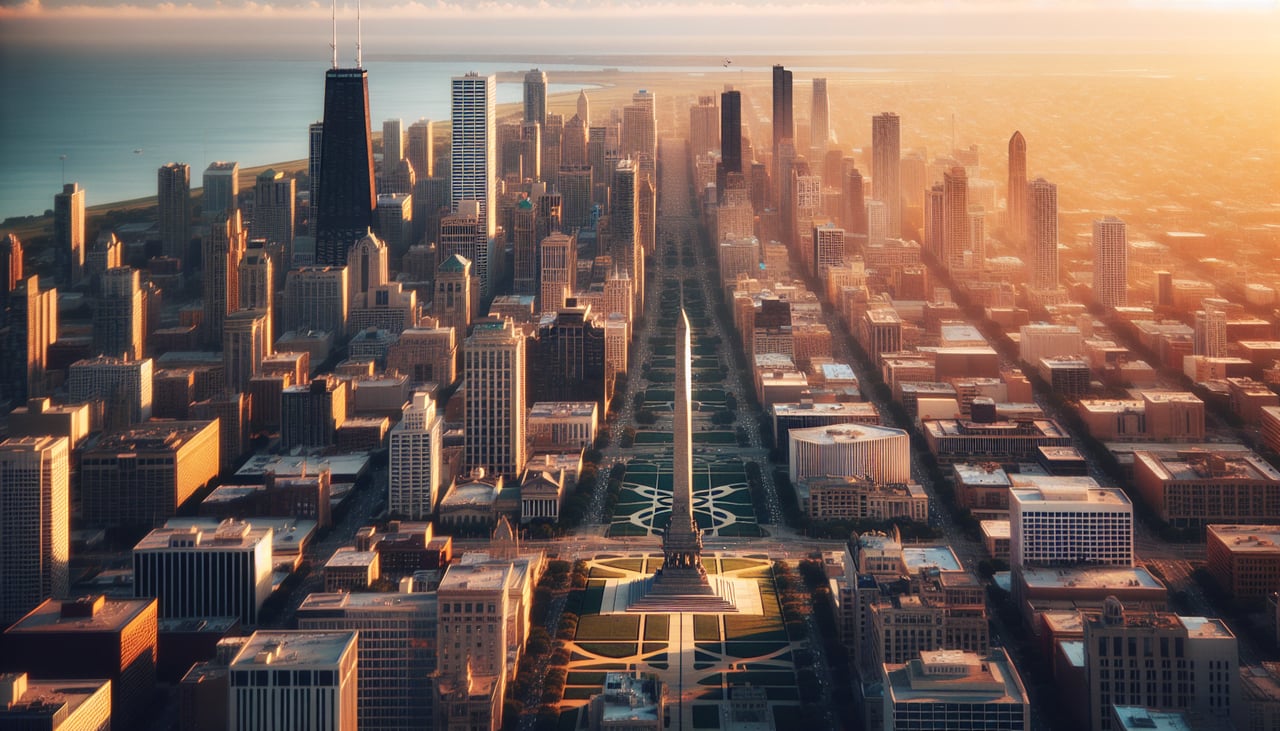
Takeoff from IND
RIGHTIND departures on runway 23 head southwest before turning east, giving a brief glimpse of the flat Indianapolis suburbs and farmland on the right; neither side offers much drama here, but the right has a slightly better view of the city grid before the turn.
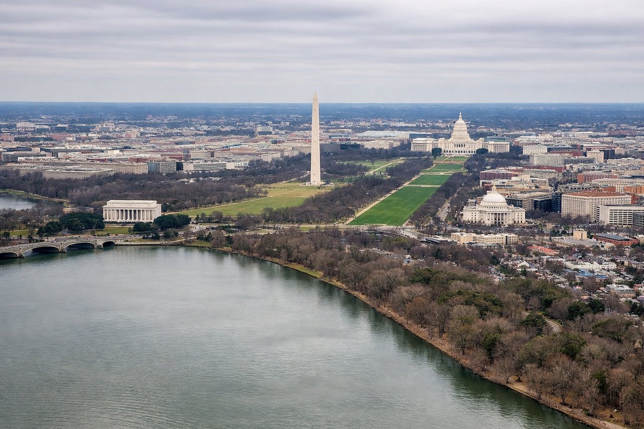
Landing at DCA
LEFTDCA's famous River Visual approach to Runway 19 tracks the Potomac River south past downtown Washington, and the National Mall landmarks sit on the east bank — visible from the left side of the aircraft as it descends. This is one of the most recognizable landing sequences in U.S. commercial aviation.
Will your flight be in sunlight?
Pick a date and time in the Sun Map to watch the sun move across your whole flight.
About This Route
Which side of the plane should I sit on flying from Indianapolis International (IND) to Ronald Reagan Washington National (DCA)?
Sit on the Left side of the plane for the best views on flights from Indianapolis to Washington. The left side wins overall because the DCA river approach delivers a rare, genuinely spectacular monument-lined descent that outweighs the otherwise flat, unremarkable terrain for the rest of the short flight.
What can I see during takeoff from Indianapolis International in Indianapolis?
During takeoff from Indianapolis International (IND), sit on the Right side for the best views. IND departures on runway 23 head southwest before turning east, giving a brief glimpse of the flat Indianapolis suburbs and farmland on the right; neither side offers much drama here, but the right has a slightly better view of the city grid before the turn. Notable sights include: Indianapolis suburban grid, White River, farmland patchwork.
What can I see when landing at Ronald Reagan Washington National in Washington?
When landing at Ronald Reagan Washington National (DCA), sit on the Left side for the best views. DCA's famous River Visual approach to Runway 19 tracks the Potomac River south past downtown Washington, and the National Mall landmarks sit on the east bank — visible from the left side of the aircraft as it descends. This is one of the most recognizable landing sequences in U.S. commercial aviation. Notable sights include: Potomac River, Washington Monument, Lincoln Memorial, U.S. Capitol dome.
How long is the flight from Indianapolis to Washington?
The flight from Indianapolis International (IND) to Ronald Reagan Washington National (DCA) takes about 1 hour 25 minutes. The shortest flight path between them is 498 miles (802 km); winds and air traffic control usually add a few percent.
What does the Indianapolis to Washington flight path pass over?
Ohio River valley, rolling hills of eastern Ohio and West Virginia, western edge of the Appalachian ridge and valley province