Los Angeles to Vancouver is 1,082 miles (1,741 km), a flight of about 2 hours 35 minutes.
The right side delivers the strongest continuous scenery: a banked view of the LA basin at takeoff, likely glimpses of the Cascade volcanoes during cruise, and a dramatic descent past the North Shore Mountains and Vancouver skyline. The left side is dominated by featureless ocean and flat delta farmland for most of the flight.
Flight Path
Sierra Nevada foothills, Mount Shasta, southern Cascade Range, Oregon high desert, Mount Rainier and the Cascade volcanic chain near the Washington-Canada border
Great circle distance and headings ›.jpg?width=600)


Phase by phase
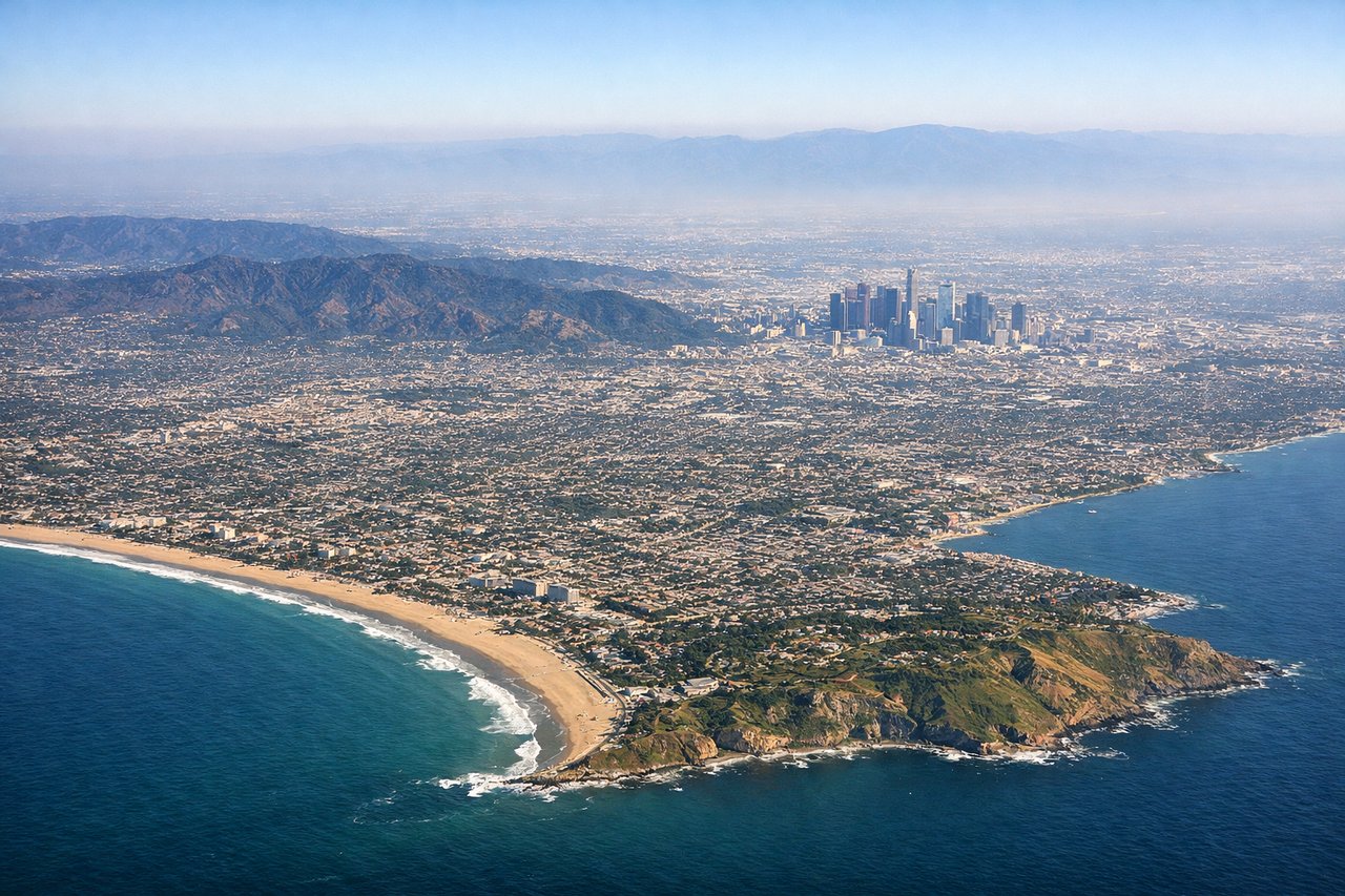
Takeoff from LAX
RIGHTLAX departs west over Santa Monica Bay in the standard west-flow pattern, then the aircraft banks right onto its northbound heading toward Vancouver. That turn swings the LA basin and Santa Monica Mountains into view on the right side, while the left side sees only open ocean during the turn.
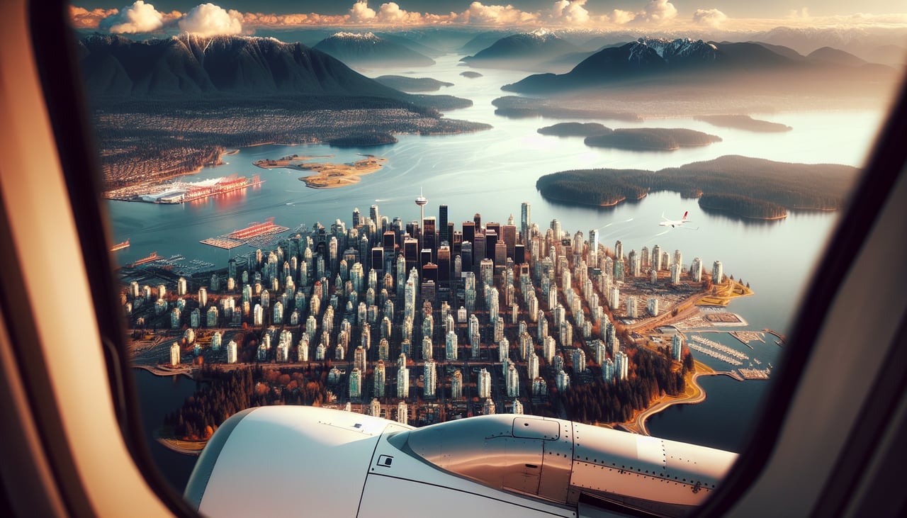
Landing at YVR
RIGHTOn approach into YVR from the south, aircraft typically track over the Fraser Valley before turning to land westbound on runway 26L, putting the North Shore mountains and downtown Vancouver's skyline on the right side as the plane descends. The left side mostly shows flat Fraser delta farmland and the Strait of Georgia.
Landmarks on this routeAll landmarks →
Will your flight be in sunlight?
Pick a date and time in the Sun Map to watch the sun move across your whole flight.
About This Route
Which side of the plane should I sit on flying from Los Angeles International (LAX) to Vancouver International (YVR)?
Sit on the Right side of the plane for the best views on flights from Los Angeles to Vancouver. The right side delivers the strongest continuous scenery: a banked view of the LA basin at takeoff, likely glimpses of the Cascade volcanoes during cruise, and a dramatic descent past the North Shore Mountains and Vancouver skyline. The left side is dominated by featureless ocean and flat delta farmland for most of the flight.
What can I see during takeoff from Los Angeles International in Los Angeles?
During takeoff from Los Angeles International (LAX), sit on the Right side for the best views. LAX departs west over Santa Monica Bay in the standard west-flow pattern, then the aircraft banks right onto its northbound heading toward Vancouver. That turn swings the LA basin and Santa Monica Mountains into view on the right side, while the left side sees only open ocean during the turn. Notable sights include: Santa Monica Bay, Santa Monica Mountains, Malibu coastline, LA basin skyline.
What can I see when landing at Vancouver International in Vancouver?
When landing at Vancouver International (YVR), sit on the Right side for the best views. On approach into YVR from the south, aircraft typically track over the Fraser Valley before turning to land westbound on runway 26L, putting the North Shore mountains and downtown Vancouver's skyline on the right side as the plane descends. The left side mostly shows flat Fraser delta farmland and the Strait of Georgia. Notable sights include: North Shore Mountains (Grouse and Seymour), downtown Vancouver skyline, Fraser River delta, Georgia Strait.
How long is the flight from Los Angeles to Vancouver?
The flight from Los Angeles International (LAX) to Vancouver International (YVR) takes about 2 hours 35 minutes. The shortest flight path between them is 1,082 miles (1,741 km); winds and air traffic control usually add a few percent.
What does the Los Angeles to Vancouver flight path pass over?
Sierra Nevada foothills, Mount Shasta, southern Cascade Range, Oregon high desert, Mount Rainier and the Cascade volcanic chain near the Washington-Canada border