The right side delivers a stronger overall sequence: a dramatic mountain-flanked descent into Phoenix with Camelback Mountain and Piestewa Peak, plus glimpses of the Guadalupe Mountains and Franklin Mountains near El Paso during cruise, outweighing the left side's strong but shorter New Orleans departure view.
Flown MSY to PHX? Did we get it right?
Flight Path
New Orleans to Phoenix is 1,297 miles (2,088 km), a flight of about 3 hours 15 minutes.
Texas Hill Country, the Pecos River valley, the Guadalupe Mountains near the Texas-New Mexico border, and the Franklin Mountains at El Paso along the Rio Grande, transitioning into the Chihuahuan and Sonoran deserts of southern New Mexico and Arizona
Great circle distance and headings ›

Phase by phase
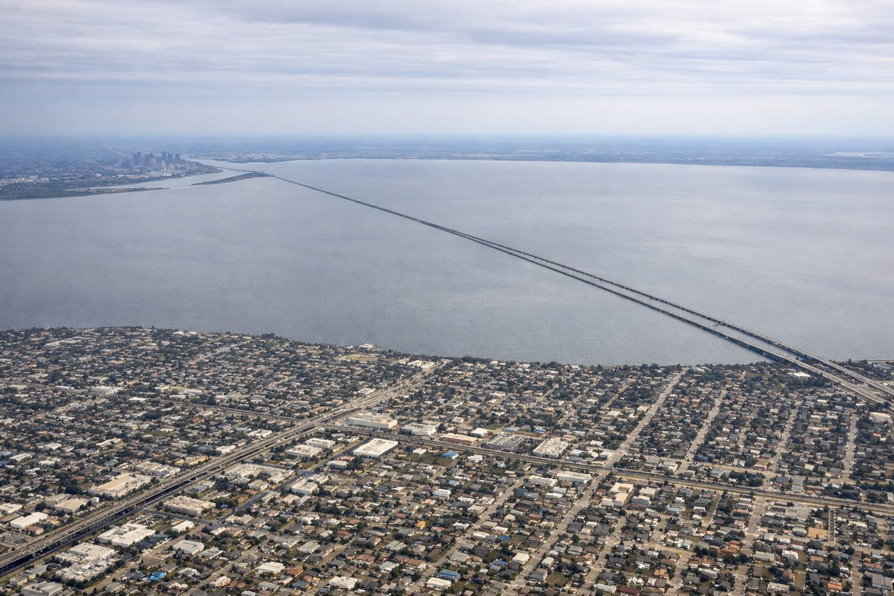
Takeoff from MSY
LEFTDeparting MSY to the west, the left side looks south across the Mississippi River's crescent bend, giving a clear view of downtown New Orleans, the French Quarter, and Algiers Point before the plane climbs over the coastal wetlands. The right side only offers Lake Pontchartrain and flat north-shore suburbs.

Landing at PHX
RIGHTOn the typical west-flow approach into PHX, the aircraft descends heading west, putting Camelback Mountain and Piestewa Peak's distinctive red sandstone formations directly off the right side, with the McDowell Mountains visible further north. The left side only shows the flatter, less distinctive South Mountain range.
Will your flight be in sunlight?
Pick a date and time in the Sun Map to watch the sun move across your whole flight.
About This Route
Which side of the plane should I sit on flying from Louis Armstrong New Orleans International (MSY) to Phoenix Sky Harbor International (PHX)?
Sit on the Right side of the plane for the best views on flights from New Orleans to Phoenix. The right side delivers a stronger overall sequence: a dramatic mountain-flanked descent into Phoenix with Camelback Mountain and Piestewa Peak, plus glimpses of the Guadalupe Mountains and Franklin Mountains near El Paso during cruise, outweighing the left side's strong but shorter New Orleans departure view.
What can I see during takeoff from Louis Armstrong New Orleans International in New Orleans?
During takeoff from Louis Armstrong New Orleans International (MSY), sit on the Left side for the best views. Departing MSY to the west, the left side looks south across the Mississippi River's crescent bend, giving a clear view of downtown New Orleans, the French Quarter, and Algiers Point before the plane climbs over the coastal wetlands. The right side only offers Lake Pontchartrain and flat north-shore suburbs. Notable sights include: Mississippi River bend, downtown New Orleans skyline, French Quarter, Barataria wetlands.
What can I see when landing at Phoenix Sky Harbor International in Phoenix?
When landing at Phoenix Sky Harbor International (PHX), sit on the Right side for the best views. On the typical west-flow approach into PHX, the aircraft descends heading west, putting Camelback Mountain and Piestewa Peak's distinctive red sandstone formations directly off the right side, with the McDowell Mountains visible further north. The left side only shows the flatter, less distinctive South Mountain range. Notable sights include: Camelback Mountain, Piestewa Peak, McDowell Mountains, Sonoran desert grid of Phoenix.
How long is the flight from New Orleans to Phoenix?
The flight from Louis Armstrong New Orleans International (MSY) to Phoenix Sky Harbor International (PHX) takes about 3 hours 15 minutes. The shortest flight path between them is 1,297 miles (2,088 km); winds and air traffic control usually add a few percent.
What does the New Orleans to Phoenix flight path pass over?
Texas Hill Country, the Pecos River valley, the Guadalupe Mountains near the Texas-New Mexico border, and the Franklin Mountains at El Paso along the Rio Grande, transitioning into the Chihuahuan and Sonoran deserts of southern New Mexico and Arizona