Nagpur to Bombay is 424 miles (683 km), a flight of about 1 hour 15 minutes.
While takeoff favors the right, the landing approach on the left provides more dramatic and sustained views of Mumbai's harbor geography, mangroves, and coastal features. The left side captures the most visually distinctive part of this route.
Flight Path
The flight path crosses the Ajanta Range foothills (visible as subtle elevation changes in the terrain), passes over the Wardha River valley and agricultural plains of central Maharashtra, then transitions to the coastal plains as you approach Mumbai. The Sahyadri Range (Western Ghats) sits to the south of the direct route but may be visible on the southern horizon in clear conditions. The landscape shifts from Vidarbha's plateau to flatter Deccan terrain, then to coastal lowlands.
Great circle distance and headings ›Phase by phase
Takeoff from NAG
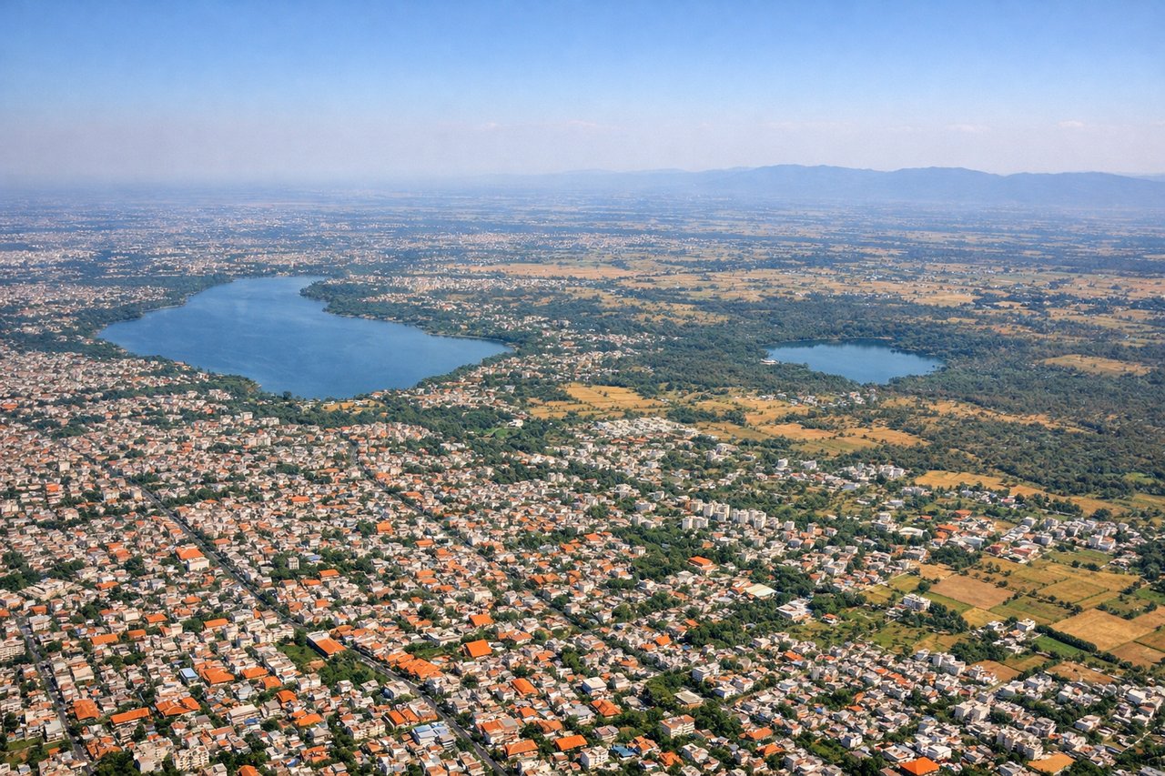
RIGHTNagpur typically departs eastbound (Runway 09/27 operations favor 27 for westbound traffic, but prevailing winds and traffic patterns often use 09 eastbound). Right-side seats capture the Vidarbha plateau terrain and the city's eastern sprawl as you climb. The western view shows only flat agricultural land.
Landing at BOM
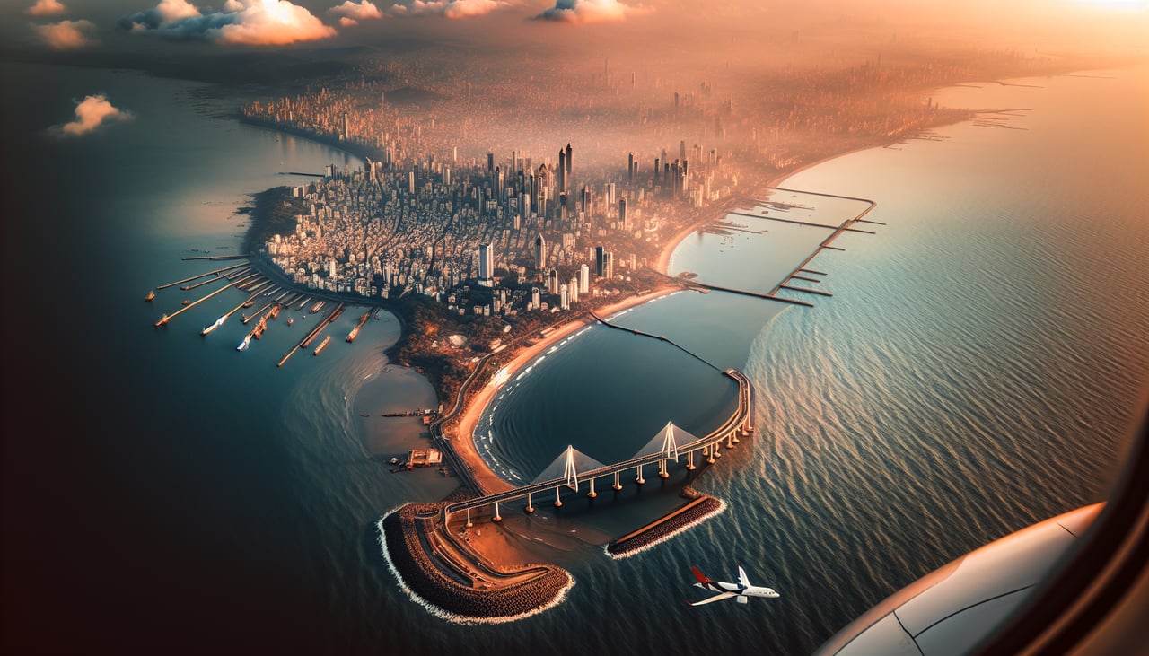
LEFTApproaching Mumbai from the east typically uses Runway 09 (landing westbound). Left-side seats offer views of the Thane Creek, Elephanta Island, and the Mumbai harbor approach. You'll see the transition from coastal mangroves and islands to the city's western waterfront.
Will your flight be in sunlight?
Pick a date and time in the Sun Map to watch the sun move across your whole flight.
About This Route
Which side of the plane should I sit on flying from Nagpur (NAG) to Chhatrapati Shivaji International (BOM)?
Sit on the Left side of the plane for the best views on flights from Nagpur to Bombay. While takeoff favors the right, the landing approach on the left provides more dramatic and sustained views of Mumbai's harbor geography, mangroves, and coastal features. The left side captures the most visually distinctive part of this route.
What can I see during takeoff from Nagpur in Nagpur?
During takeoff from Nagpur (NAG), sit on the Right side for the best views. Nagpur typically departs eastbound (Runway 09/27 operations favor 27 for westbound traffic, but prevailing winds and traffic patterns often use 09 eastbound). Right-side seats capture the Vidarbha plateau terrain and the city's eastern sprawl as you climb. The western view shows only flat agricultural land. Notable sights include: Nagpur city grid and lakes (Futala Lake visible near airport), Vidarbha plateau edge to the east, agricultural plains extending westward, scattered villages in the immediate climb corridor.
What can I see when landing at Chhatrapati Shivaji International in Bombay?
When landing at Chhatrapati Shivaji International (BOM), sit on the Left side for the best views. Approaching Mumbai from the east typically uses Runway 09 (landing westbound). Left-side seats offer views of the Thane Creek, Elephanta Island, and the Mumbai harbor approach. You'll see the transition from coastal mangroves and islands to the city's western waterfront. Notable sights include: Thane Creek and mangrove areas, Elephanta Island (distinctive rocky island in harbor), Mumbai's western coastline and Marine Drive curve, Colaba peninsula and harbor entrance.
How long is the flight from Nagpur to Bombay?
The flight from Nagpur (NAG) to Chhatrapati Shivaji International (BOM) takes about 1 hour 15 minutes. The shortest flight path between them is 424 miles (683 km); winds and air traffic control usually add a few percent.
What does the Nagpur to Bombay flight path pass over?
The flight path crosses the Ajanta Range foothills (visible as subtle elevation changes in the terrain), passes over the Wardha River valley and agricultural plains of central Maharashtra, then transitions to the coastal plains as you approach Mumbai. The Sahyadri Range (Western Ghats) sits to the south of the direct route but may be visible on the southern horizon in clear conditions. The landscape shifts from Vidarbha's plateau to flatter Deccan terrain, then to coastal lowlands.