Despite the short flight time, the right side delivers a rare cluster of Cascade volcanoes -- Mt. Hood at departure, Mt. St. Helens and Mt. Rainier during the brief cruise -- while the left side offers mostly flat valley farmland until the Seattle skyline appears late in the descent.
Flown PDX to SEA? Did we get it right?
Flight Path
Portland to Seattle is 129 miles (208 km), a flight of about 45 minutes.
Around Chehalis-Centralia, WA, roughly midway: Mt. St. Helens and the distant white summit of Mt. Rainier are visible to the east (right), while the low, forested Willapa Hills and the flat Chehalis River valley lie to the west (left).
Great circle distance and headings ›

Phase by phase
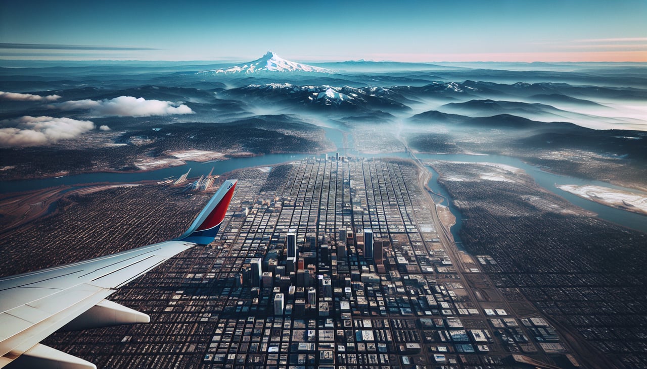
Takeoff from PDX
RIGHTDeparting PDX on the 28 side, the aircraft climbs west over the Willamette River before banking right (north) toward Seattle. During that turn, Mt. Hood becomes briefly visible to the southeast, and Mt. St. Helens' unmistakable flattened cone appears dead ahead on the right horizon as the climb continues.
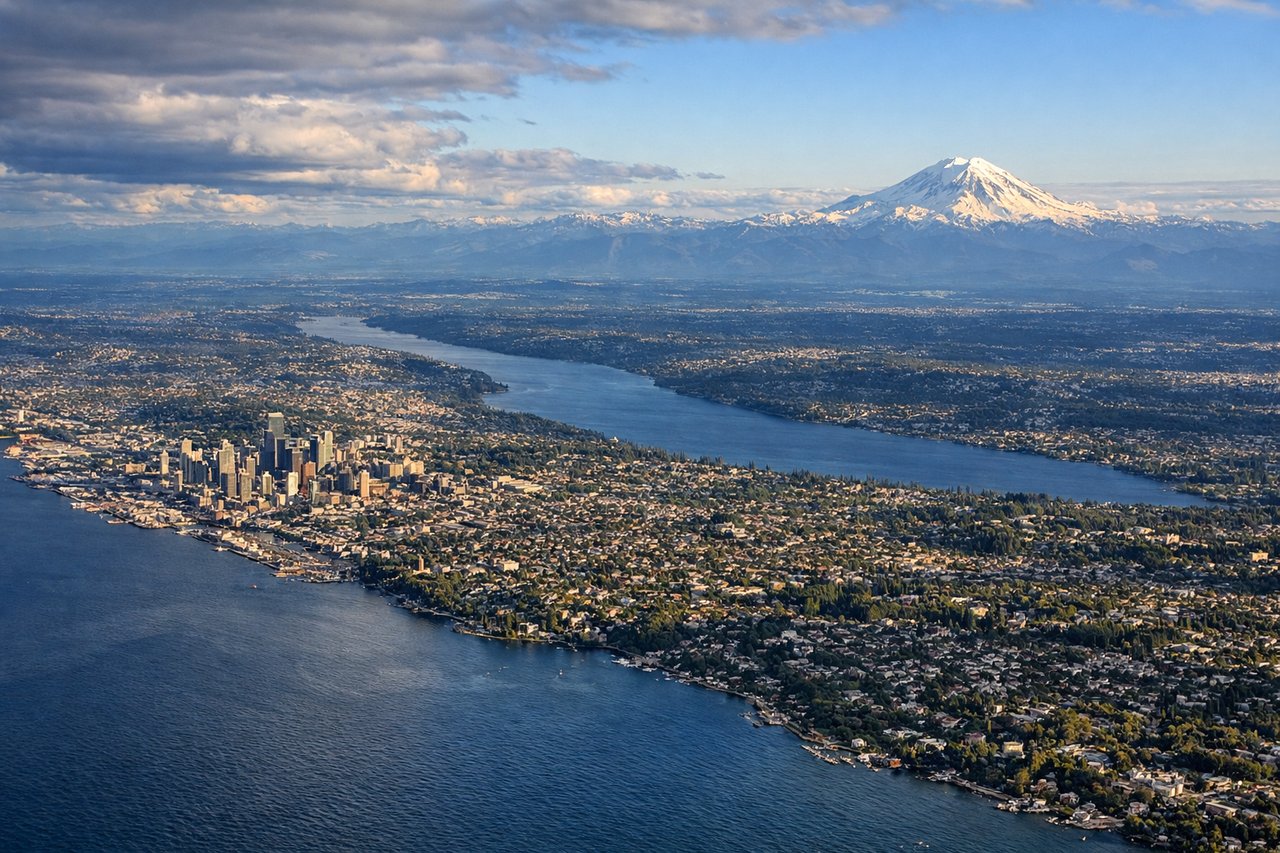
Landing at SEA
LEFTOn the approach into SEA from the south, the flight path parallels Puget Sound, and the left side reveals Vashon Island, Elliott Bay, and the downtown Seattle skyline coming into view just before touchdown. The right side by this point mostly shows suburban Renton and Lake Washington, less distinctive than the Sound and skyline.
Will your flight be in sunlight?
Pick a date and time in the Sun Map to watch the sun move across your whole flight.
About This Route
Which side of the plane should I sit on flying from Portland International (PDX) to Seattle Tacoma International (SEA)?
Sit on the Right side of the plane for the best views on flights from Portland to Seattle. Despite the short flight time, the right side delivers a rare cluster of Cascade volcanoes -- Mt. Hood at departure, Mt. St. Helens and Mt. Rainier during the brief cruise -- while the left side offers mostly flat valley farmland until the Seattle skyline appears late in the descent.
What can I see during takeoff from Portland International in Portland?
During takeoff from Portland International (PDX), sit on the Right side for the best views. Departing PDX on the 28 side, the aircraft climbs west over the Willamette River before banking right (north) toward Seattle. During that turn, Mt. Hood becomes briefly visible to the southeast, and Mt. St. Helens' unmistakable flattened cone appears dead ahead on the right horizon as the climb continues. Notable sights include: Mt. Hood, Willamette River, Portland's eastside industrial district, Mt. St. Helens.
What can I see when landing at Seattle Tacoma International in Seattle?
When landing at Seattle Tacoma International (SEA), sit on the Left side for the best views. On the approach into SEA from the south, the flight path parallels Puget Sound, and the left side reveals Vashon Island, Elliott Bay, and the downtown Seattle skyline coming into view just before touchdown. The right side by this point mostly shows suburban Renton and Lake Washington, less distinctive than the Sound and skyline. Notable sights include: Puget Sound, Vashon Island, Seattle downtown skyline, Elliott Bay.
How long is the flight from Portland to Seattle?
The flight from Portland International (PDX) to Seattle Tacoma International (SEA) takes about 45 minutes. The shortest flight path between them is 129 miles (208 km); winds and air traffic control usually add a few percent.
What does the Portland to Seattle flight path pass over?
Around Chehalis-Centralia, WA, roughly midway: Mt. St. Helens and the distant white summit of Mt. Rainier are visible to the east (right), while the low, forested Willapa Hills and the flat Chehalis River valley lie to the west (left).