Pohnpei to Honolulu is 3,088 miles (4,970 km), a flight of about 5 hours 45 minutes.
Right-side seats capture Pohnpei's dramatic volcanic terrain and reef system on departure, and while left wins on landing, the takeoff scenery is more visually distinctive and geographically unique to this route.
Flight Path
Open North Pacific Ocean with no significant land features; flight path crosses approximately 1,200 nautical miles of deep ocean between Micronesia and Hawaii with no islands visible from cruise altitude
Great circle distance and headings ›Phase by phase
Takeoff from PNI
RIGHTPohnpei is a volcanic island with steep terrain rising to ~2,595 ft. Right-side seats face west-northwest on departure, offering views of the island's dramatic central ridge, surrounding reef system, and the Pacific Ocean stretching toward the Hawaiian chain.
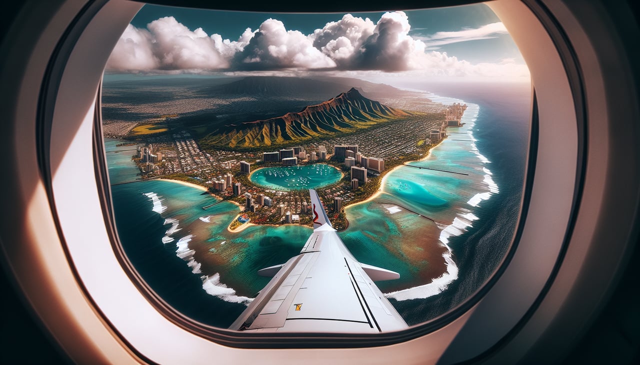
Landing at HNL
LEFTOn approach to HNL from the southwest, left-side seats face northeast and offer the best views of Oahu's windward coast, the Ko'olau mountain range, and Honolulu's urban landscape as the aircraft descends toward the runway.
Landmarks on this routeAll landmarks →
Will your flight be in sunlight?
Pick a date and time in the Sun Map to watch the sun move across your whole flight.
About This Route
Which side of the plane should I sit on flying from Pohnpei International (PNI) to Honolulu International (HNL)?
Sit on the Right side of the plane for the best views on flights from Pohnpei to Honolulu. Right-side seats capture Pohnpei's dramatic volcanic terrain and reef system on departure, and while left wins on landing, the takeoff scenery is more visually distinctive and geographically unique to this route.
What can I see during takeoff from Pohnpei International in Pohnpei?
During takeoff from Pohnpei International (PNI), sit on the Right side for the best views. Pohnpei is a volcanic island with steep terrain rising to ~2,595 ft. Right-side seats face west-northwest on departure, offering views of the island's dramatic central ridge, surrounding reef system, and the Pacific Ocean stretching toward the Hawaiian chain. Notable sights include: Pohnpei's central volcanic ridge, fringing coral reef and lagoon system, Sokehs Island (smaller volcanic peak to the northeast), open Pacific Ocean.
What can I see when landing at Honolulu International in Honolulu?
When landing at Honolulu International (HNL), sit on the Left side for the best views. On approach to HNL from the southwest, left-side seats face northeast and offer the best views of Oahu's windward coast, the Ko'olau mountain range, and Honolulu's urban landscape as the aircraft descends toward the runway. Notable sights include: Ko'olau mountain range (northeastern Oahu), Windward Oahu coastline with Kailua and Kaneohe bays, Honolulu city and urban sprawl, Diamond Head crater.
How long is the flight from Pohnpei to Honolulu?
The flight from Pohnpei International (PNI) to Honolulu International (HNL) takes about 5 hours 45 minutes. The shortest flight path between them is 3,088 miles (4,970 km); winds and air traffic control usually add a few percent.
What does the Pohnpei to Honolulu flight path pass over?
Open North Pacific Ocean with no significant land features; flight path crosses approximately 1,200 nautical miles of deep ocean between Micronesia and Hawaii with no islands visible from cruise altitude