Honolulu to Pohnpei is 3,088 miles (4,970 km), a flight of about 5 hours 15 minutes.
Right-side seats capture the dramatic departure over Oahu's mountain ranges and provide better views during the long overwater flight across the Pacific. While the landing favors the left, the takeoff experience is more visually rewarding and longer in duration.
Flight Path
The flight path crosses open Pacific Ocean with no significant landmarks. Occasional scattered islands of the Marshall Islands chain may be visible far to the north (outside normal viewing range). The route passes roughly 150-200 miles south of Majuro Atoll. Primarily featureless deep ocean with trade wind cloud formations. No significant geographic features visible between departure and approach to Pohnpei.
Great circle distance and headings ›Phase by phase
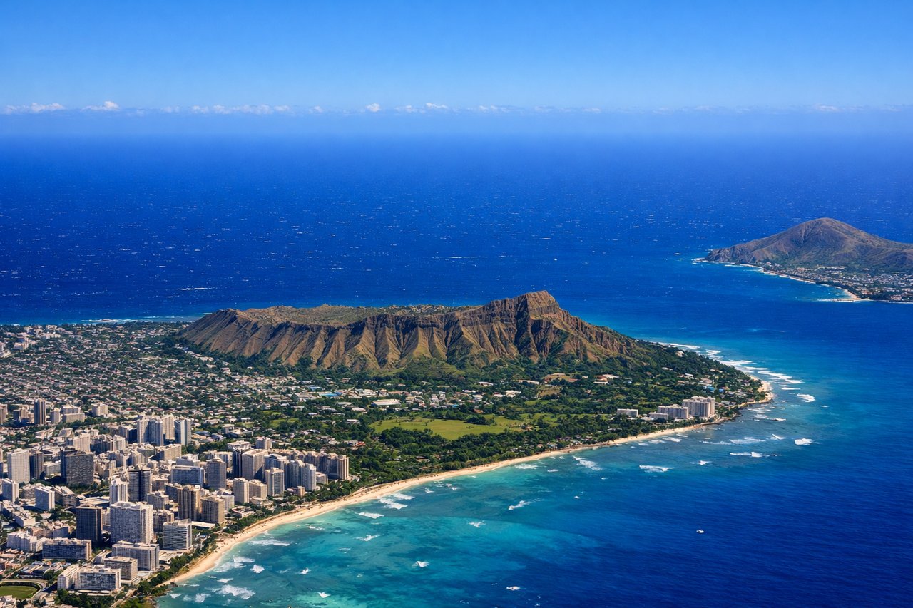
Takeoff from HNL
RIGHTHNL typically departs to the northeast on Runway 08R/L. Right-side seats offer the best view of the Waianae and Koolau mountain ranges as the aircraft climbs out over the island, with the Ko'olau peaks rising dramatically to the right of the flight path.
Landing at PNI
LEFTPNI uses Runway 11/29; typical approach is from the northeast. Left-side seats provide views of Pohnpei's dramatic volcanic interior and the surrounding reef system as the aircraft descends. The island's central peak and lush green valleys are most visible from the left during final approach.
Landmarks on this routeAll landmarks →
Will your flight be in sunlight?
Pick a date and time in the Sun Map to watch the sun move across your whole flight.
About This Route
Which side of the plane should I sit on flying from Honolulu International (HNL) to Pohnpei International (PNI)?
Sit on the Right side of the plane for the best views on flights from Honolulu to Pohnpei. Right-side seats capture the dramatic departure over Oahu's mountain ranges and provide better views during the long overwater flight across the Pacific. While the landing favors the left, the takeoff experience is more visually rewarding and longer in duration.
What can I see during takeoff from Honolulu International in Honolulu?
During takeoff from Honolulu International (HNL), sit on the Right side for the best views. HNL typically departs to the northeast on Runway 08R/L. Right-side seats offer the best view of the Waianae and Koolau mountain ranges as the aircraft climbs out over the island, with the Ko'olau peaks rising dramatically to the right of the flight path. Notable sights include: Waianae Range (west), Ko'olau Range (east), Pearl Harbor (visible below during initial climb), Honolulu city sprawl.
What can I see when landing at Pohnpei International in Pohnpei?
When landing at Pohnpei International (PNI), sit on the Left side for the best views. PNI uses Runway 11/29; typical approach is from the northeast. Left-side seats provide views of Pohnpei's dramatic volcanic interior and the surrounding reef system as the aircraft descends. The island's central peak and lush green valleys are most visible from the left during final approach. Notable sights include: Pohnpei's central volcanic peaks, surrounding coral reef lagoon (bright turquoise), Sokehs Island (small volcanic cone northeast of main island), Nan Madol ruins area (visible as cleared land on eastern shore).
How long is the flight from Honolulu to Pohnpei?
The flight from Honolulu International (HNL) to Pohnpei International (PNI) takes about 5 hours 15 minutes. The shortest flight path between them is 3,088 miles (4,970 km); winds and air traffic control usually add a few percent.
What does the Honolulu to Pohnpei flight path pass over?
The flight path crosses open Pacific Ocean with no significant landmarks. Occasional scattered islands of the Marshall Islands chain may be visible far to the north (outside normal viewing range). The route passes roughly 150-200 miles south of Majuro Atoll. Primarily featureless deep ocean with trade wind cloud formations. No significant geographic features visible between departure and approach to Pohnpei.