The right side offers the dramatic Hawaiian coastline at departure and glimpses of the Rocky Mountain front as the flight path crosses the interior West, while the left side is dominated by open ocean and flat plains for most of the journey.
Flight Path
Northern Pacific Ocean, the coastal ranges of the Pacific Northwest, and the Rocky Mountains near Wyoming/Utah before the route flattens out over the Great Plains into the Midwest
Great circle distance and headings ›


.jpg?width=600)


Phase by phase
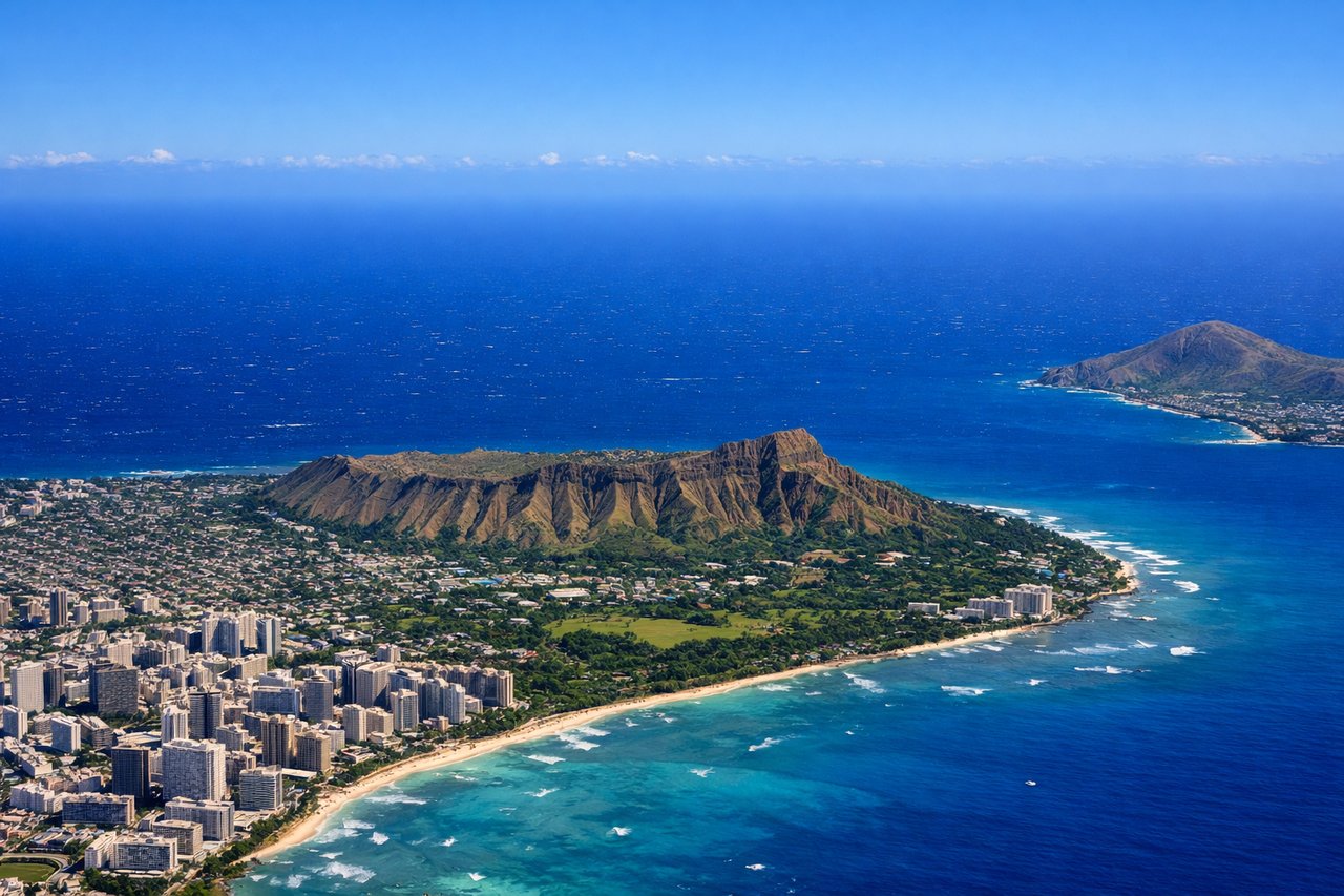
Takeoff from HNL
RIGHTDepartures from HNL's Reef Runway typically head east before curving south and east around Oahu's south shore, putting Diamond Head, Waikiki's coastline, and the turquoise reef flats on the right side of the aircraft during the initial climb.
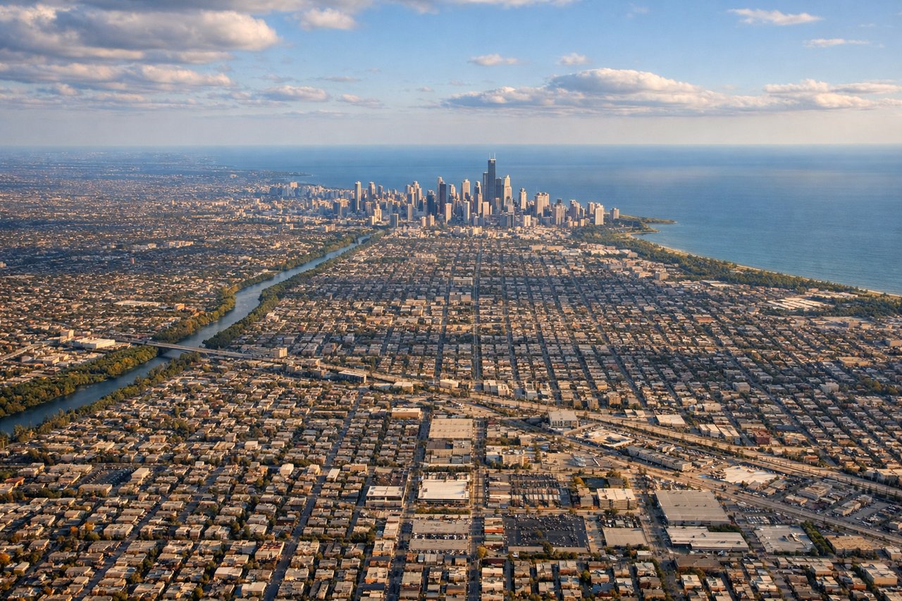
Landing at ORD
LEFTArrivals into ORD from the west typically bank north before lining up on the east-west runways, briefly revealing Lake Michigan's shoreline and the Chicago skyline off the left side of the aircraft during the final descent.
Landmarks on this routeAll landmarks →
Will your flight be in sunlight?
See exactly which side of the plane gets sun and shade at your departure time.
About This Route
Which side of the plane should I sit on flying from Honolulu International (HNL) to Chicago Ohare International (ORD)?
Sit on the Right side of the plane for the best views on flights from Honolulu to Chicago. The right side offers the dramatic Hawaiian coastline at departure and glimpses of the Rocky Mountain front as the flight path crosses the interior West, while the left side is dominated by open ocean and flat plains for most of the journey.
What can I see during takeoff from Honolulu International in Honolulu?
During takeoff from Honolulu International (HNL), sit on the Right side for the best views. Departures from HNL's Reef Runway typically head east before curving south and east around Oahu's south shore, putting Diamond Head, Waikiki's coastline, and the turquoise reef flats on the right side of the aircraft during the initial climb. Notable sights include: Diamond Head crater, Waikiki Beach, Honolulu's reef-lined south shore, Koko Head.
What can I see when landing at Chicago Ohare International in Chicago?
When landing at Chicago Ohare International (ORD), sit on the Left side for the best views. Arrivals into ORD from the west typically bank north before lining up on the east-west runways, briefly revealing Lake Michigan's shoreline and the Chicago skyline off the left side of the aircraft during the final descent. Notable sights include: Chicago skyline (Willis Tower, Loop), Lake Michigan shoreline, O'Hare's runway grid, western suburban grid pattern.
How long is the flight from Honolulu to Chicago?
The flight from Honolulu International (HNL) to Chicago Ohare International (ORD) takes 8h 05m.
What does the Honolulu to Chicago flight path pass over?
Northern Pacific Ocean, the coastal ranges of the Pacific Northwest, and the Rocky Mountains near Wyoming/Utah before the route flattens out over the Great Plains into the Midwest