The left side strings together the Hawaii departure over Diamond Head and Waikiki with a continental crossing that skims the Sierra Nevada near Lake Tahoe, the Great Salt Lake and Wasatch Range, and the Rocky Mountain front, giving it more sustained dramatic terrain than the right side's single Golden Gate glimpse and Manhattan finale.
Flight Path
Several hours of open North Pacific Ocean, then the California coast near San Francisco, the Sierra Nevada and Lake Tahoe basin, the Great Basin desert, the Great Salt Lake and Wasatch Range, the Rocky Mountain front, the Great Plains, and the Great Lakes region near Chicago before descending toward the Northeast.
Great circle distance and headings ›


.jpg?width=600)


.jpeg?width=600)
.jpg?width=600)
Phase by phase
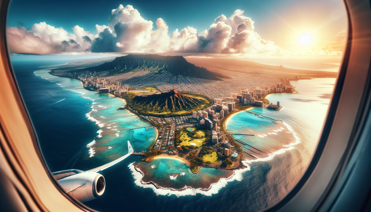
Takeoff from HNL
LEFTDeparting on the Reef Runway (08R), the jet climbs east over Mamala Bay before banking left onto its northeast heading toward the mainland. That turn keeps Diamond Head, Waikiki Beach, and downtown Honolulu framed along the coastline on the left side of the cabin.
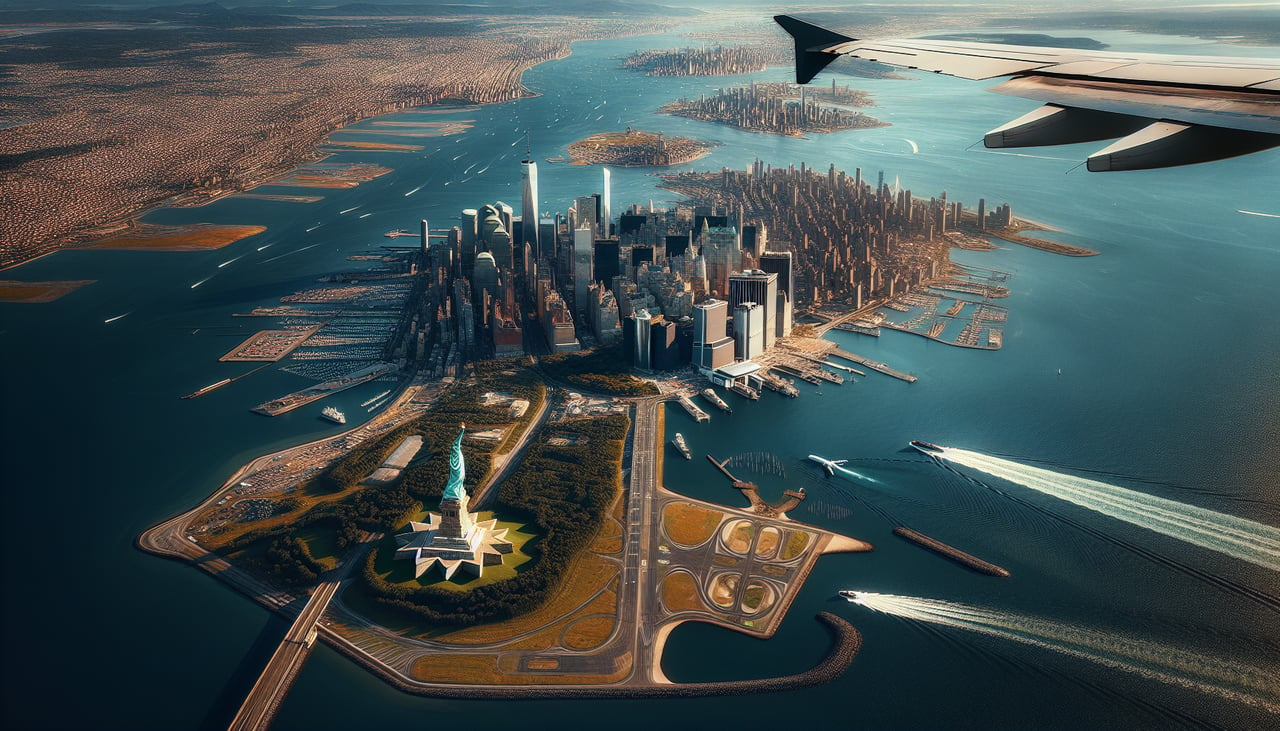
Landing at JFK
RIGHTArriving from the west, flights vector around to final approach for runway 22L/22R from the northeast, flying down over Long Island Sound before turning onto final. This puts the Manhattan skyline and the East River off the right side of the aircraft during the descent and turn.
Landmarks on this routeAll landmarks →
Will your flight be in sunlight?
See exactly which side of the plane gets sun and shade at your departure time.
About This Route
Which side of the plane should I sit on flying from Honolulu International (HNL) to John F Kennedy International (JFK)?
Sit on the Left side of the plane for the best views on flights from Honolulu to New York. The left side strings together the Hawaii departure over Diamond Head and Waikiki with a continental crossing that skims the Sierra Nevada near Lake Tahoe, the Great Salt Lake and Wasatch Range, and the Rocky Mountain front, giving it more sustained dramatic terrain than the right side's single Golden Gate glimpse and Manhattan finale.
What can I see during takeoff from Honolulu International in Honolulu?
During takeoff from Honolulu International (HNL), sit on the Left side for the best views. Departing on the Reef Runway (08R), the jet climbs east over Mamala Bay before banking left onto its northeast heading toward the mainland. That turn keeps Diamond Head, Waikiki Beach, and downtown Honolulu framed along the coastline on the left side of the cabin. Notable sights include: Diamond Head crater, Waikiki Beach, Honolulu skyline, Koolau Range.
What can I see when landing at John F Kennedy International in New York?
When landing at John F Kennedy International (JFK), sit on the Right side for the best views. Arriving from the west, flights vector around to final approach for runway 22L/22R from the northeast, flying down over Long Island Sound before turning onto final. This puts the Manhattan skyline and the East River off the right side of the aircraft during the descent and turn. Notable sights include: Manhattan skyline, East River, Long Island Sound, Throgs Neck/Whitestone Bridges.
How long is the flight from Honolulu to New York?
The flight from Honolulu International (HNL) to John F Kennedy International (JFK) takes 10h 05m.
What does the Honolulu to New York flight path pass over?
Several hours of open North Pacific Ocean, then the California coast near San Francisco, the Sierra Nevada and Lake Tahoe basin, the Great Basin desert, the Great Salt Lake and Wasatch Range, the Rocky Mountain front, the Great Plains, and the Great Lakes region near Chicago before descending toward the Northeast.