The left side bookends five hours of open ocean with two genuinely scenic moments: Oahu's volcanic coastline at departure and San Francisco's bay and skyline at arrival. The right side offers only open Pacific for nearly the entire flight, with no comparable landmarks at either end.
Flight Path
Open North Pacific Ocean with no islands or landmasses visible for the bulk of the cruise; scattered cloud fields are the only variation until the California coast comes into view near the end of the flight.
Great circle distance and headings ›

Phase by phase
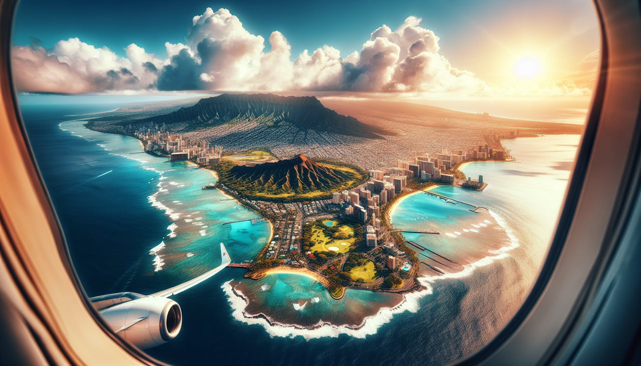
Takeoff from HNL
LEFTDeparting on the Reef Runway heading east, the jet banks left to pick up its northeast track toward the mainland, tipping that side down toward Oahu's south shore. Passengers get a sweeping look at Waikiki, Diamond Head, and the Koolau Range before the island falls away behind.
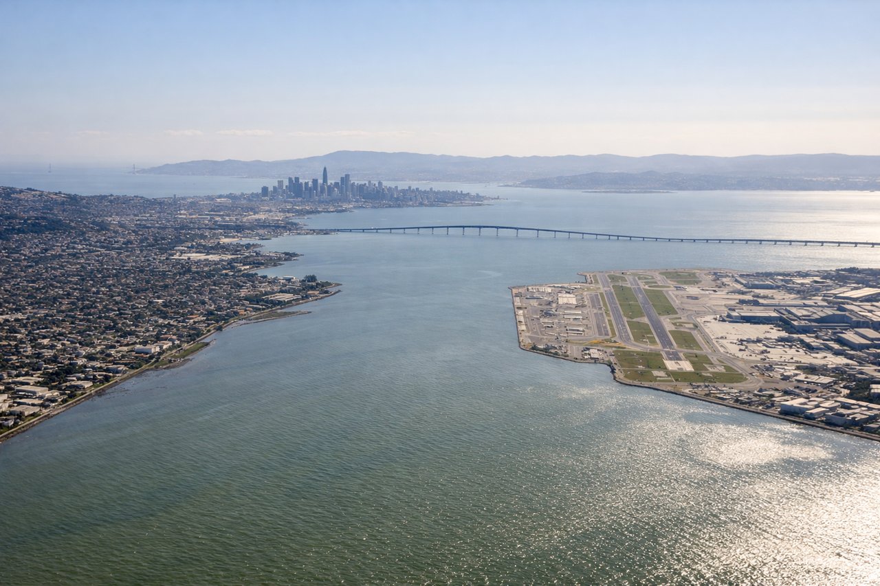
Landing at SFO
LEFTArrivals cross in from the Pacific and turn to line up with the north-south runways, and that turn puts San Francisco's skyline and the Bay on the left side. The right side, by contrast, stays over open ocean and coastal bluffs with no city view.
Landmarks on this routeAll landmarks →
Will your flight be in sunlight?
See exactly which side of the plane gets sun and shade at your departure time.
About This Route
Which side of the plane should I sit on flying from Honolulu International (HNL) to San Francisco International (SFO)?
Sit on the Left side of the plane for the best views on flights from Honolulu to San Francisco. The left side bookends five hours of open ocean with two genuinely scenic moments: Oahu's volcanic coastline at departure and San Francisco's bay and skyline at arrival. The right side offers only open Pacific for nearly the entire flight, with no comparable landmarks at either end.
What can I see during takeoff from Honolulu International in Honolulu?
During takeoff from Honolulu International (HNL), sit on the Left side for the best views. Departing on the Reef Runway heading east, the jet banks left to pick up its northeast track toward the mainland, tipping that side down toward Oahu's south shore. Passengers get a sweeping look at Waikiki, Diamond Head, and the Koolau Range before the island falls away behind. Notable sights include: Diamond Head crater, Waikiki Beach and Honolulu skyline, Koolau Range, Honolulu Harbor.
What can I see when landing at San Francisco International in San Francisco?
When landing at San Francisco International (SFO), sit on the Left side for the best views. Arrivals cross in from the Pacific and turn to line up with the north-south runways, and that turn puts San Francisco's skyline and the Bay on the left side. The right side, by contrast, stays over open ocean and coastal bluffs with no city view. Notable sights include: Golden Gate Bridge, downtown San Francisco skyline, San Francisco Bay, Marin Headlands.
How long is the flight from Honolulu to San Francisco?
The flight from Honolulu International (HNL) to San Francisco International (SFO) takes 5h 05m.
What does the Honolulu to San Francisco flight path pass over?
Open North Pacific Ocean with no islands or landmasses visible for the bulk of the cruise; scattered cloud fields are the only variation until the California coast comes into view near the end of the flight.