Pune to Amritsar is 909 miles (1,462 km), a flight of about 2 hours 30 minutes.
The right side captures the most dramatic scenery: the Western Ghats escarpment during takeoff is the flight's most visually striking feature. While landing offers agricultural plains on both sides, the takeoff advantage is substantial.
Flight Path
The flight path crosses the Deccan Plateau northwestward, passing over or near Aurangabad region and the Ajanta-Ellora plateau area. The Godavari River basin lies to the east of the typical flight corridor. As the aircraft continues north, it transitions from the plateau into the Indo-Gangetic Plain, with the terrain gradually flattening. The Narmada River valley may be visible to the west depending on exact routing. The landscape shifts from forested ghats and plateau to increasingly agricultural plains as the flight progresses toward Punjab.
Great circle distance and headings ›Phase by phase
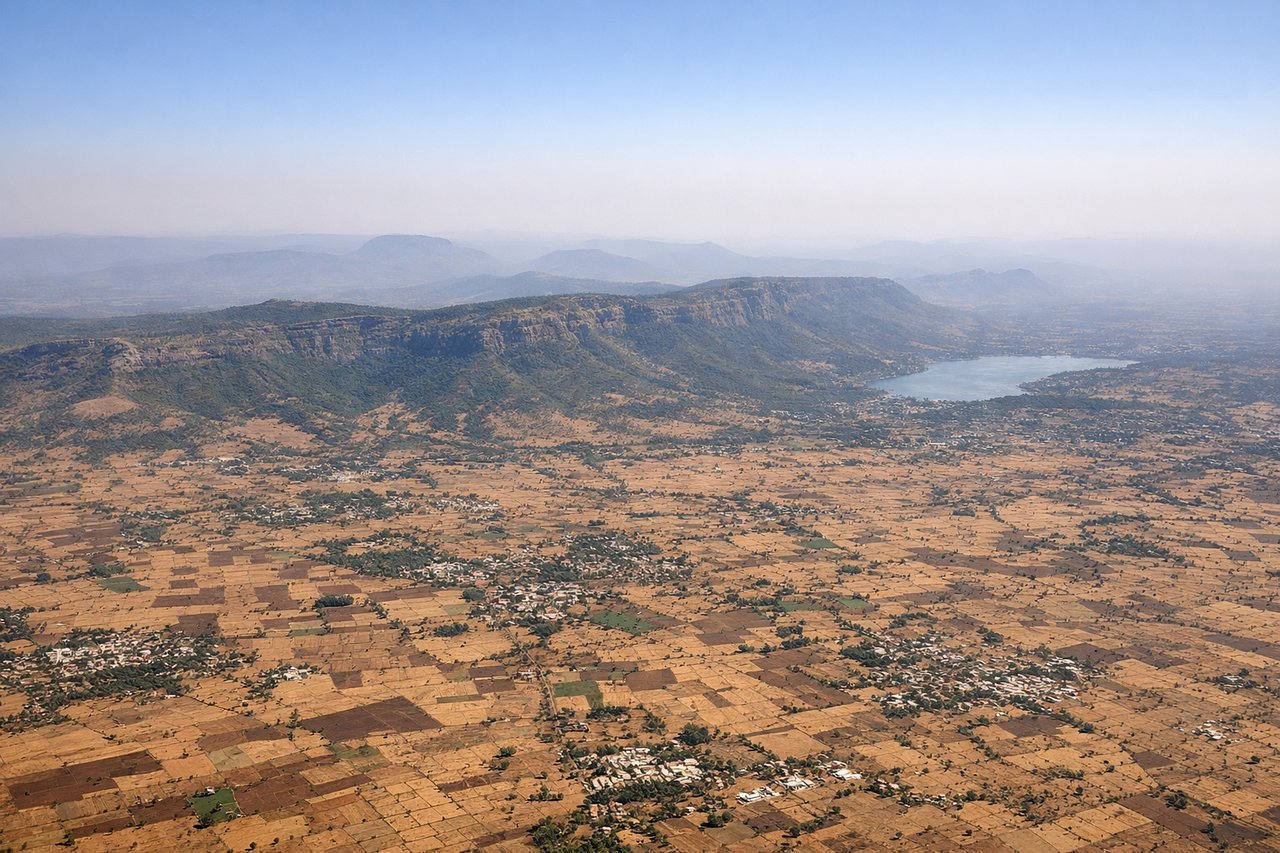
Takeoff from PNQ
RIGHTClimbing northwestward from Pune, the right side offers views of the Western Ghats escarpment and the Sahyadri range as they rise dramatically from the Deccan Plateau. The left side faces inland plateau with less visual relief.
Landing at ATQ
LEFTDescending toward Amritsar from the southeast, the left side provides views of the Punjab plains, the Sutlej River, and the approach to the city itself. The right side faces toward Pakistan with less distinctive landmarks.
Landmarks on this routeAll landmarks →
Will your flight be in sunlight?
Pick a date and time in the Sun Map to watch the sun move across your whole flight.
About This Route
Which side of the plane should I sit on flying from Pune (PNQ) to Amritsar (ATQ)?
Sit on the Right side of the plane for the best views on flights from Pune to Amritsar. The right side captures the most dramatic scenery: the Western Ghats escarpment during takeoff is the flight's most visually striking feature. While landing offers agricultural plains on both sides, the takeoff advantage is substantial.
What can I see during takeoff from Pune in Pune?
During takeoff from Pune (PNQ), sit on the Right side for the best views. Climbing northwestward from Pune, the right side offers views of the Western Ghats escarpment and the Sahyadri range as they rise dramatically from the Deccan Plateau. The left side faces inland plateau with less visual relief. Notable sights include: Western Ghats/Sahyadri Mountains, Mula-Mutha River valley below Pune, Deccan Plateau extending eastward, scattered towns of Pimpri-Chinchwad industrial belt.
What can I see when landing at Amritsar in Amritsar?
When landing at Amritsar (ATQ), sit on the Left side for the best views. Descending toward Amritsar from the southeast, the left side provides views of the Punjab plains, the Sutlej River, and the approach to the city itself. The right side faces toward Pakistan with less distinctive landmarks. Notable sights include: Sutlej River and its irrigation channels, Punjab agricultural plains with geometric field patterns, Amritsar city sprawl, Ravi River to the north.
How long is the flight from Pune to Amritsar?
The flight from Pune (PNQ) to Amritsar (ATQ) takes about 2 hours 30 minutes. The shortest flight path between them is 909 miles (1,462 km); winds and air traffic control usually add a few percent.
What does the Pune to Amritsar flight path pass over?
The flight path crosses the Deccan Plateau northwestward, passing over or near Aurangabad region and the Ajanta-Ellora plateau area. The Godavari River basin lies to the east of the typical flight corridor. As the aircraft continues north, it transitions from the plateau into the Indo-Gangetic Plain, with the terrain gradually flattening. The Narmada River valley may be visible to the west depending on exact routing. The landscape shifts from forested ghats and plateau to increasingly agricultural plains as the flight progresses toward Punjab.