Amritsar to Pune is 909 miles (1,462 km), a flight of about 2 hours 15 minutes.
Right-side seats capture the superior takeoff views of the Sutlej River and Himalayan foothills, while landing views are comparable on both sides. The takeoff advantage outweighs the slight landing preference for left seats.
Flight Path
The flight path crosses the Rajasthan-Madhya Pradesh border region, passing over the Aravalli Range's southern extensions (visible as low hills and ridges), the Chambal River valley, and the transition zone between the Indo-Gangetic Plain and the Deccan Plateau. The Vindhya Range appears as a distinct escarpment marking the plateau's northern edge, roughly at the midpoint of the route.
Great circle distance and headings ›Phase by phase
Takeoff from ATQ
RIGHTAmritsar typically departs runway 03 (northeast heading). Right-side seats offer views of the Sutlej River valley and the flat Punjab plains stretching southeastward, with the Himalayan foothills visible as a distant ridge on the horizon to the north.
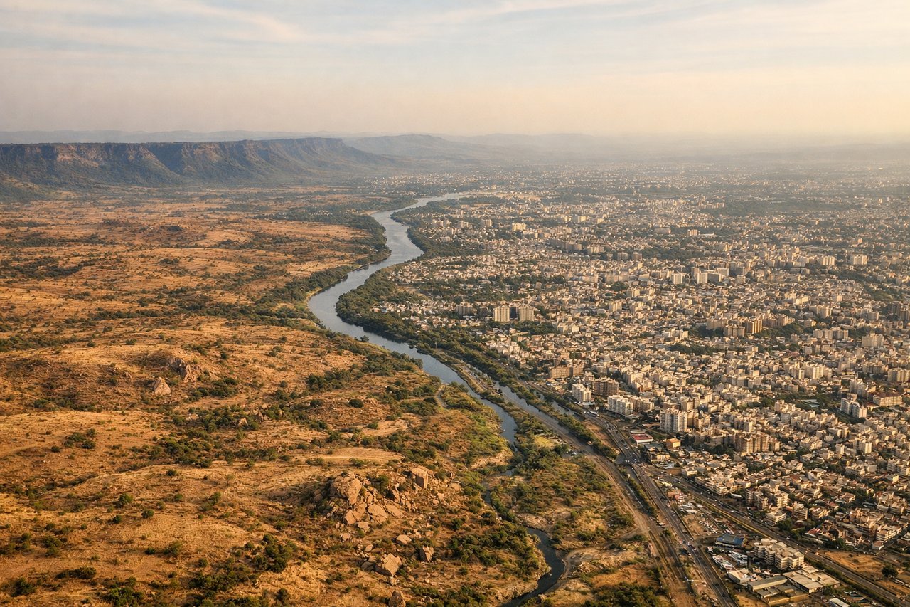
Landing at PNQ
LEFTPune typically lands runway 28 (westbound approach). Left-side seats provide views of the Deccan Plateau's terrain, the Mula-Mutha River confluence near the city, and the Western Ghats ridge visible to the west as the aircraft descends toward the airport.
Landmarks on this routeAll landmarks →
Will your flight be in sunlight?
Pick a date and time in the Sun Map to watch the sun move across your whole flight.
About This Route
Which side of the plane should I sit on flying from Amritsar (ATQ) to Pune (PNQ)?
Sit on the Right side of the plane for the best views on flights from Amritsar to Pune. Right-side seats capture the superior takeoff views of the Sutlej River and Himalayan foothills, while landing views are comparable on both sides. The takeoff advantage outweighs the slight landing preference for left seats.
What can I see during takeoff from Amritsar in Amritsar?
During takeoff from Amritsar (ATQ), sit on the Right side for the best views. Amritsar typically departs runway 03 (northeast heading). Right-side seats offer views of the Sutlej River valley and the flat Punjab plains stretching southeastward, with the Himalayan foothills visible as a distant ridge on the horizon to the north. Notable sights include: Sutlej River (immediate vicinity), Punjab agricultural plains, Himalayan foothills (northern horizon), Ravi River valley (northeast).
What can I see when landing at Pune in Pune?
When landing at Pune (PNQ), sit on the Left side for the best views. Pune typically lands runway 28 (westbound approach). Left-side seats provide views of the Deccan Plateau's terrain, the Mula-Mutha River confluence near the city, and the Western Ghats ridge visible to the west as the aircraft descends toward the airport. Notable sights include: Mula-Mutha River (near airport), Deccan Plateau terrain, Western Ghats escarpment (western horizon), Pune city sprawl.
How long is the flight from Amritsar to Pune?
The flight from Amritsar (ATQ) to Pune (PNQ) takes about 2 hours 15 minutes. The shortest flight path between them is 909 miles (1,462 km); winds and air traffic control usually add a few percent.
What does the Amritsar to Pune flight path pass over?
The flight path crosses the Rajasthan-Madhya Pradesh border region, passing over the Aravalli Range's southern extensions (visible as low hills and ridges), the Chambal River valley, and the transition zone between the Indo-Gangetic Plain and the Deccan Plateau. The Vindhya Range appears as a distinct escarpment marking the plateau's northern edge, roughly at the midpoint of the route.