Left-side seats capture the dramatic San Jacinto Mountains during both takeoff (close-up northern view) and provide the best perspective of the Coachella Valley's geography. The northbound climb-out offers superior mountain scenery compared to the landing approach.
Flown PSP to MSP? Did we get it right?
Flight Path
Palm Springs to Minneapolis is 1,452 miles (2,336 km), a flight of about 4 hours 15 minutes.
The flight path crosses the Colorado River near the California-Arizona border (visible around 1.5 hours into flight), then proceeds northeast across Arizona's high desert plateau. The Grand Canyon's North Rim area lies roughly 100 miles north of the direct route. As the flight progresses into New Mexico and Colorado, the Rocky Mountain foothills become visible on the eastern horizon. The flight crosses into Minnesota airspace approaching the Twin Cities, with the Minnesota River valley and surrounding glacial lakes becoming visible during final descent into MSP.
Great circle distance and headings ›


Phase by phase
Takeoff from PSP
LEFTPSP typically departs westbound (Runway 31L/31R). Left-side seats face north during initial climb, offering views of the San Jacinto Mountains and the Coachella Valley floor. Right seats look south toward the less dramatic desert terrain.
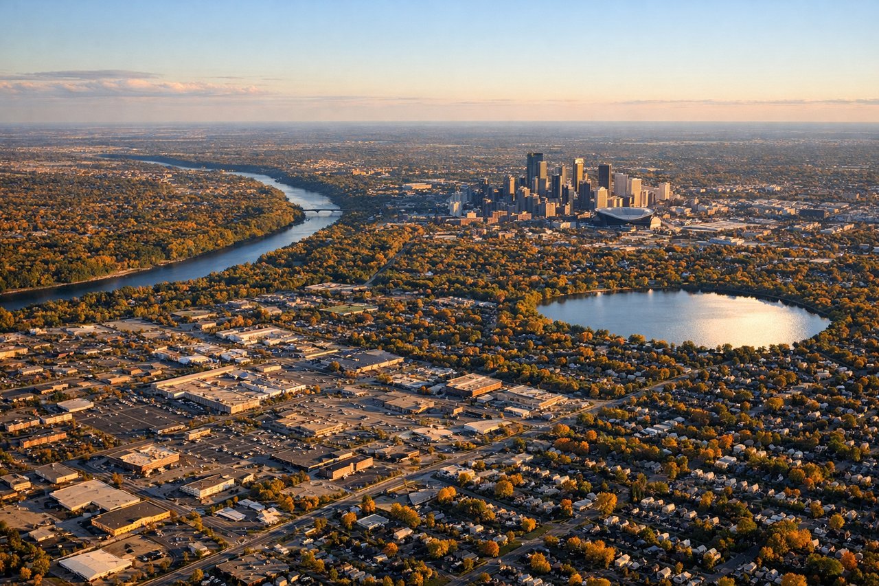
Landing at MSP
RIGHTArriving from the northeast typically uses Runway 13L/13R (landing southbound). Right-side seats face west during descent, providing views of the San Jacinto Mountains' western face and the Coachella Valley's full width. Left seats see mostly desert scrub and distant terrain.
Will your flight be in sunlight?
Pick a date and time in the Sun Map to watch the sun move across your whole flight.
About This Route
Which side of the plane should I sit on flying from Palm Springs International (PSP) to Minneapolis St Paul International (MSP)?
Sit on the Left side of the plane for the best views on flights from Palm Springs to Minneapolis. Left-side seats capture the dramatic San Jacinto Mountains during both takeoff (close-up northern view) and provide the best perspective of the Coachella Valley's geography. The northbound climb-out offers superior mountain scenery compared to the landing approach.
What can I see during takeoff from Palm Springs International in Palm Springs?
During takeoff from Palm Springs International (PSP), sit on the Left side for the best views. PSP typically departs westbound (Runway 31L/31R). Left-side seats face north during initial climb, offering views of the San Jacinto Mountains and the Coachella Valley floor. Right seats look south toward the less dramatic desert terrain. Notable sights include: San Jacinto Mountains (immediately north, snow-capped peaks visible year-round), Coachella Valley agricultural grid (geometric crop patterns below), Mount San Gorgonio (distant northeastern peak), Palm Springs urban area (small grid pattern directly below during initial climb).
What can I see when landing at Minneapolis St Paul International in Minneapolis?
When landing at Minneapolis St Paul International (MSP), sit on the Right side for the best views. Arriving from the northeast typically uses Runway 13L/13R (landing southbound). Right-side seats face west during descent, providing views of the San Jacinto Mountains' western face and the Coachella Valley's full width. Left seats see mostly desert scrub and distant terrain. Notable sights include: San Jacinto Mountains (western escarpment, dramatic ridge profile), Coachella Valley floor (full width visible), Mount San Gorgonio (receding to the north), Palm Springs city center (approaching from north).
How long is the flight from Palm Springs to Minneapolis?
The flight from Palm Springs International (PSP) to Minneapolis St Paul International (MSP) takes about 4 hours 15 minutes. The shortest flight path between them is 1,452 miles (2,336 km); winds and air traffic control usually add a few percent.
What does the Palm Springs to Minneapolis flight path pass over?
The flight path crosses the Colorado River near the California-Arizona border (visible around 1.5 hours into flight), then proceeds northeast across Arizona's high desert plateau. The Grand Canyon's North Rim area lies roughly 100 miles north of the direct route. As the flight progresses into New Mexico and Colorado, the Rocky Mountain foothills become visible on the eastern horizon. The flight crosses into Minnesota airspace approaching the Twin Cities, with the Minnesota River valley and surrounding glacial lakes becoming visible during final descent into MSP.