Palm Springs to Seattle is 988 miles (1,590 km), a flight of about 2 hours 35 minutes.
The right side delivers a consistently mountainous experience — San Bernardino peaks at takeoff, the Sierra Nevada and Cascade volcanoes during cruise, and Mount Rainier on approach — while the left side offers mostly flat valley and coastal haze with fewer distinct landmarks.
Flight Path
Sierra Nevada range, Mount Shasta, Cascade Range volcanic peaks, California's Central Valley
Great circle distance and headings ›


Phase by phase
Takeoff from PSP
RIGHTDeparting PSP on runway 31L, the climb-out banks toward the San Bernardino Mountains and San Gorgonio Peak, giving right-side passengers a close, dramatic view of the pass walls. The left side mostly shows the flat Coachella Valley floor receding behind.
Landing at SEA
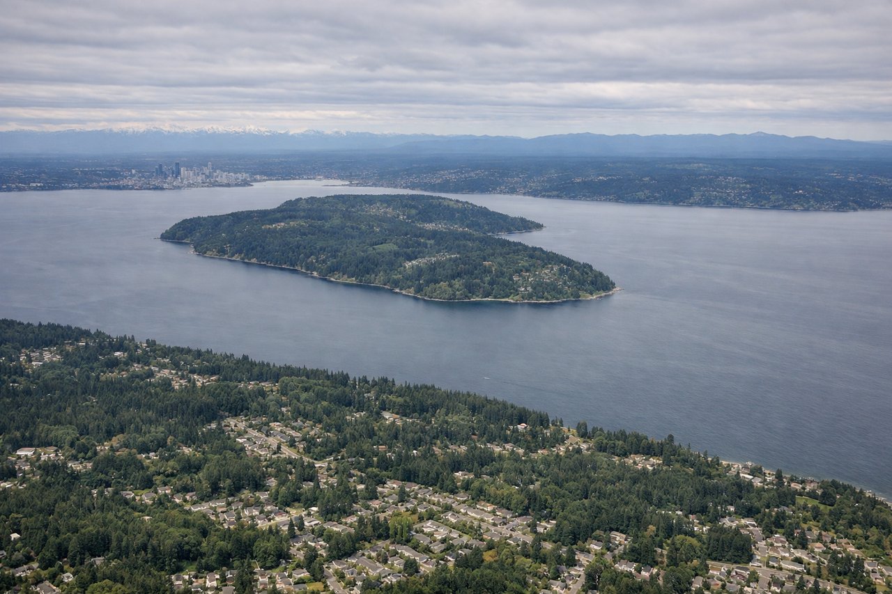
RIGHTOn approach to SEA from the south, the east side of the aircraft faces the Cascade Range, and Mount Rainier's massive snow-capped cone is often visible in the distance before the final turn. The west side mainly shows the flatter Puget Sound lowlands and suburban sprawl.
Landmarks on this routeAll landmarks →
Will your flight be in sunlight?
Pick a date and time in the Sun Map to watch the sun move across your whole flight.
About This Route
Which side of the plane should I sit on flying from Palm Springs International (PSP) to Seattle Tacoma International (SEA)?
Sit on the Right side of the plane for the best views on flights from Palm Springs to Seattle. The right side delivers a consistently mountainous experience — San Bernardino peaks at takeoff, the Sierra Nevada and Cascade volcanoes during cruise, and Mount Rainier on approach — while the left side offers mostly flat valley and coastal haze with fewer distinct landmarks.
What can I see during takeoff from Palm Springs International in Palm Springs?
During takeoff from Palm Springs International (PSP), sit on the Right side for the best views. Departing PSP on runway 31L, the climb-out banks toward the San Bernardino Mountains and San Gorgonio Peak, giving right-side passengers a close, dramatic view of the pass walls. The left side mostly shows the flat Coachella Valley floor receding behind. Notable sights include: San Gorgonio Mountain, San Bernardino Mountains, San Gorgonio Pass wind farms, Coachella Valley floor.
What can I see when landing at Seattle Tacoma International in Seattle?
When landing at Seattle Tacoma International (SEA), sit on the Right side for the best views. On approach to SEA from the south, the east side of the aircraft faces the Cascade Range, and Mount Rainier's massive snow-capped cone is often visible in the distance before the final turn. The west side mainly shows the flatter Puget Sound lowlands and suburban sprawl. Notable sights include: Mount Rainier, Cascade foothills, Lake Washington, Seattle skyline in the distance.
How long is the flight from Palm Springs to Seattle?
The flight from Palm Springs International (PSP) to Seattle Tacoma International (SEA) takes about 2 hours 35 minutes. The shortest flight path between them is 988 miles (1,590 km); winds and air traffic control usually add a few percent.
What does the Palm Springs to Seattle flight path pass over?
Sierra Nevada range, Mount Shasta, Cascade Range volcanic peaks, California's Central Valley