The descent into Guayaquil on the left offers more dramatic and sustained views of the Andes transition and river estuary. The takeoff view is pleasant but brief; the landing approach provides longer visual engagement with distinctive geography.
Flown PTY to GYE? Did we get it right?
Flight Path
Panama City to Guayaquil is 777 miles (1,250 km), a flight of about 2 hours 15 minutes.
The flight path crosses the Pacific coast of Colombia and Ecuador. Notable features include the Baudó mountain range (western cordillera of Colombia) visible to the left around midpoint, the Chocó region's dense jungle canopy, and the transition from Colombian Pacific lowlands to Ecuadorian coastal plains. The Pacific Ocean dominates the right side throughout most of the flight. No major cities are directly on the route, but the coastline remains visible for much of the journey.
Great circle distance and headings ›

Phase by phase
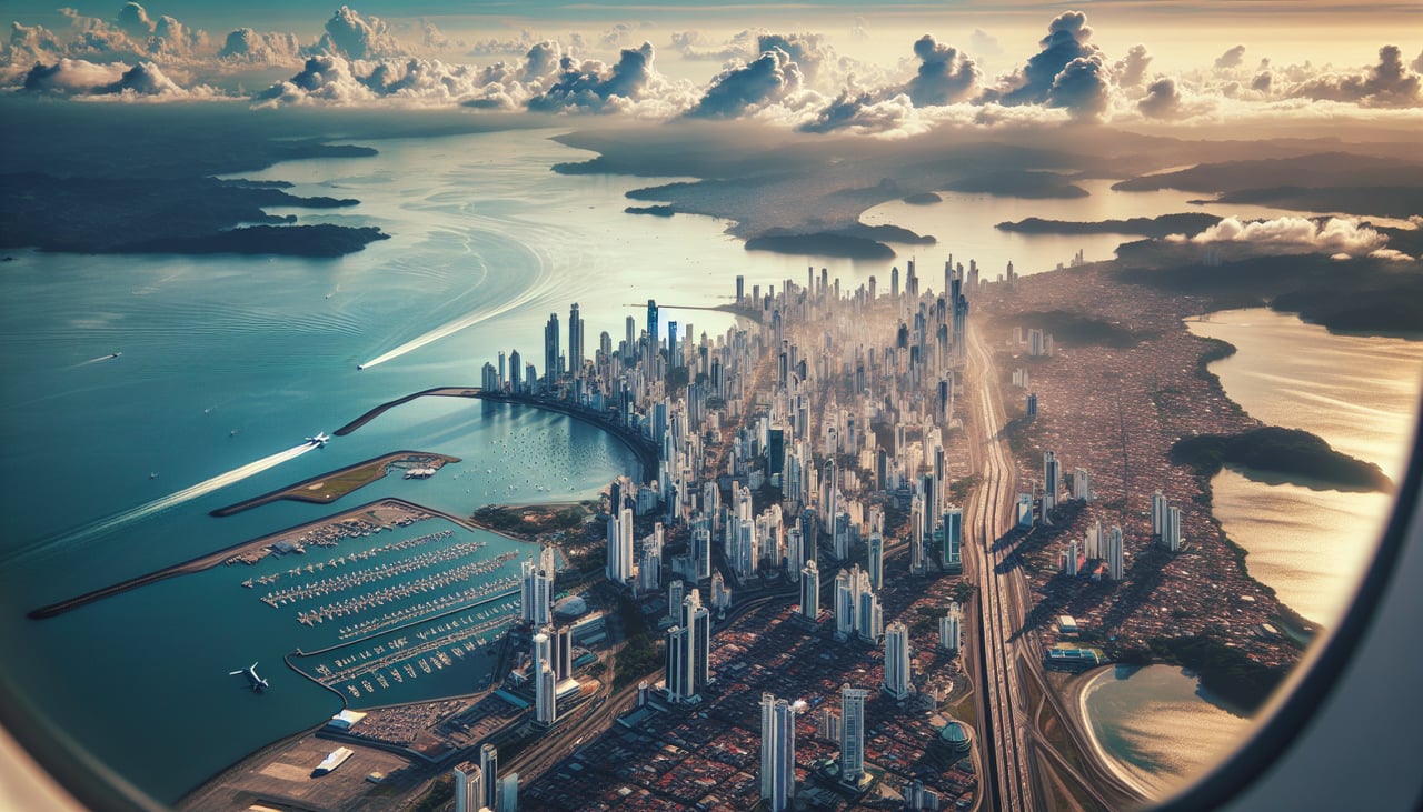
Takeoff from PTY
RIGHTTocumen typically departs eastbound (Runway 03R/03L). Right-side seats face toward the Caribbean coast and the Panama Canal approach channels as you climb. You'll see the Gatun Lake system and the canal's northern locks infrastructure receding beneath you.
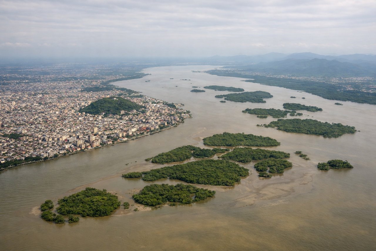
Landing at GYE
LEFTGYE typically lands westbound (Runway 09). Left-side seats face toward the Andes foothills and the Guayas River estuary during descent. You'll see the dramatic transition from Pacific coastal plains to the western cordillera, with the river system and mangrove zones clearly visible.
Will your flight be in sunlight?
Pick a date and time in the Sun Map to watch the sun move across your whole flight.
About This Route
Which side of the plane should I sit on flying from Tocumen International (PTY) to Simon Bolivar International (GYE)?
Sit on the Left side of the plane for the best views on flights from Panama City to Guayaquil. The descent into Guayaquil on the left offers more dramatic and sustained views of the Andes transition and river estuary. The takeoff view is pleasant but brief; the landing approach provides longer visual engagement with distinctive geography.
What can I see during takeoff from Tocumen International in Panama City?
During takeoff from Tocumen International (PTY), sit on the Right side for the best views. Tocumen typically departs eastbound (Runway 03R/03L). Right-side seats face toward the Caribbean coast and the Panama Canal approach channels as you climb. You'll see the Gatun Lake system and the canal's northern locks infrastructure receding beneath you. Notable sights include: Panama Canal (Gatun Locks), Gatun Lake, Caribbean coastline, Colón province lowlands.
What can I see when landing at Simon Bolivar International in Guayaquil?
When landing at Simon Bolivar International (GYE), sit on the Left side for the best views. GYE typically lands westbound (Runway 09). Left-side seats face toward the Andes foothills and the Guayas River estuary during descent. You'll see the dramatic transition from Pacific coastal plains to the western cordillera, with the river system and mangrove zones clearly visible. Notable sights include: Guayas River estuary, Andes western cordillera, Pacific coastal plains, Guayaquil city sprawl.
How long is the flight from Panama City to Guayaquil?
The flight from Tocumen International (PTY) to Simon Bolivar International (GYE) takes about 2 hours 15 minutes. The shortest flight path between them is 777 miles (1,250 km); winds and air traffic control usually add a few percent.
What does the Panama City to Guayaquil flight path pass over?
The flight path crosses the Pacific coast of Colombia and Ecuador. Notable features include the Baudó mountain range (western cordillera of Colombia) visible to the left around midpoint, the Chocó region's dense jungle canopy, and the transition from Colombian Pacific lowlands to Ecuadorian coastal plains. The Pacific Ocean dominates the right side throughout most of the flight. No major cities are directly on the route, but the coastline remains visible for much of the journey.