The right side delivers a consistent visual narrative — Panama City's skyline at takeoff, the Talamanca range and Panamanian volcanic highlands during cruise, and the mountain-ringed San Jose valley on approach — while the left side is dominated by featureless Pacific water for much of the short flight.
Flown PTY to SJO? Did we get it right?
Flight Path
Panama City to San Jose is 335 miles (539 km), a flight of about 1 hour 15 minutes.
Volcan Baru (Panama's highest peak), the Cordillera de Talamanca ridge along the Panama-Costa Rica border, and scattered Pacific coastal inlets near the Golfo de Chiriqui
Great circle distance and headings ›Phase by phase
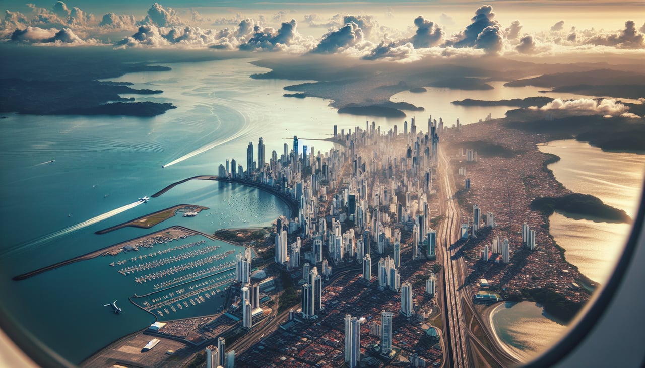
Takeoff from PTY
RIGHTDeparting PTY to the northeast before turning west, passengers on the right get a last look at Panama City's skyline and the Bay of Panama, then the volcanic highlands come into view as the route bends toward Costa Rica. The left side mostly shows open Pacific water with little definition.
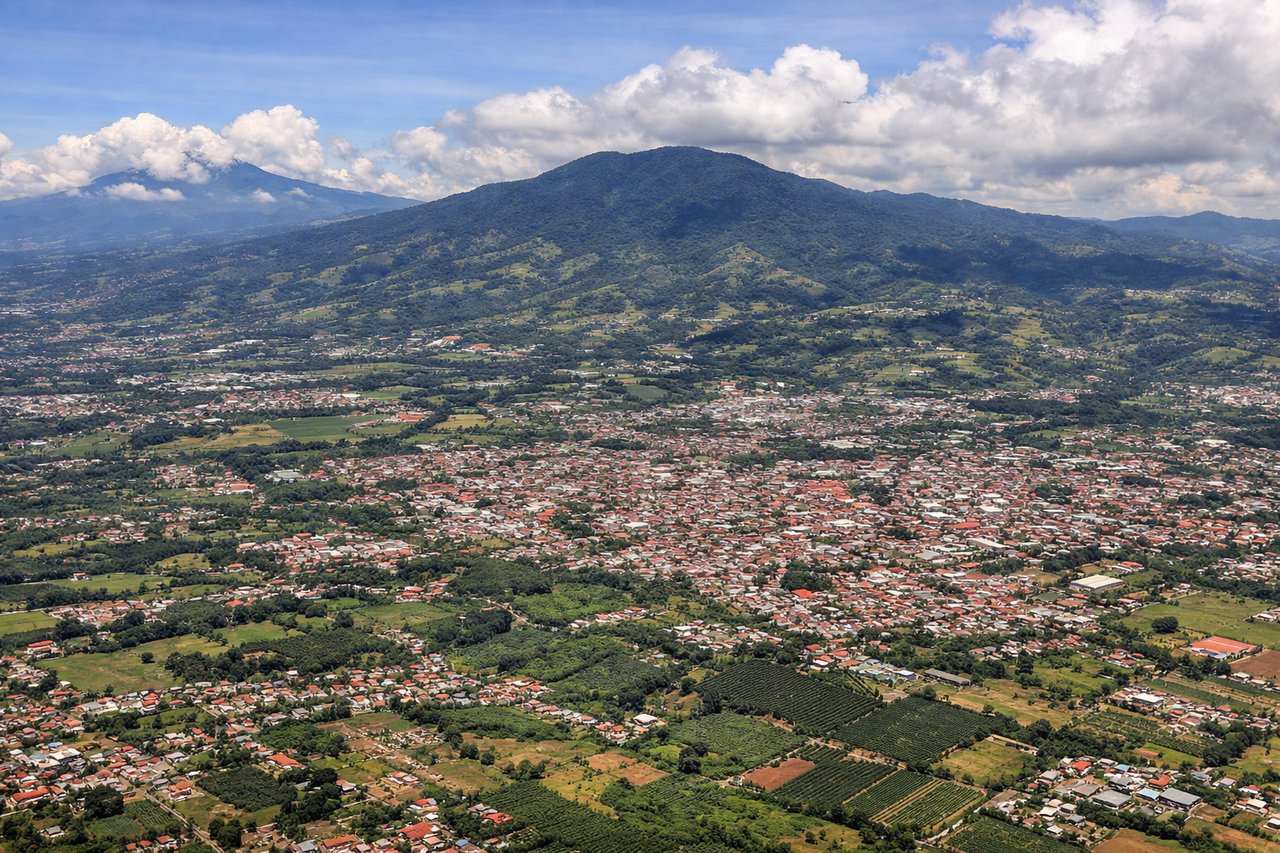
Landing at SJO
RIGHTOn approach into SJO from the southwest, the right side offers views of the forested Talamanca mountain range and the volcanic peaks ringing the Central Valley, including Poas and Barva, as the aircraft descends into the San Jose basin. The left side mainly faces lower terrain with less relief.
Will your flight be in sunlight?
Pick a date and time in the Sun Map to watch the sun move across your whole flight.
About This Route
Which side of the plane should I sit on flying from Tocumen International (PTY) to Juan Santamaria International (SJO)?
Sit on the Right side of the plane for the best views on flights from Panama City to San Jose. The right side delivers a consistent visual narrative — Panama City's skyline at takeoff, the Talamanca range and Panamanian volcanic highlands during cruise, and the mountain-ringed San Jose valley on approach — while the left side is dominated by featureless Pacific water for much of the short flight.
What can I see during takeoff from Tocumen International in Panama City?
During takeoff from Tocumen International (PTY), sit on the Right side for the best views. Departing PTY to the northeast before turning west, passengers on the right get a last look at Panama City's skyline and the Bay of Panama, then the volcanic highlands come into view as the route bends toward Costa Rica. The left side mostly shows open Pacific water with little definition. Notable sights include: Panama City skyline, Bay of Panama, Bridge of the Americas, Pacific coastline.
What can I see when landing at Juan Santamaria International in San Jose?
When landing at Juan Santamaria International (SJO), sit on the Right side for the best views. On approach into SJO from the southwest, the right side offers views of the forested Talamanca mountain range and the volcanic peaks ringing the Central Valley, including Poas and Barva, as the aircraft descends into the San Jose basin. The left side mainly faces lower terrain with less relief. Notable sights include: Cordillera de Talamanca, Poas Volcano, Barva Volcano, San Jose Central Valley.
How long is the flight from Panama City to San Jose?
The flight from Tocumen International (PTY) to Juan Santamaria International (SJO) takes about 1 hour 15 minutes. The shortest flight path between them is 335 miles (539 km); winds and air traffic control usually add a few percent.
What does the Panama City to San Jose flight path pass over?
Volcan Baru (Panama's highest peak), the Cordillera de Talamanca ridge along the Panama-Costa Rica border, and scattered Pacific coastal inlets near the Golfo de Chiriqui