While takeoff offers good Central American views, the landing approach into Lima provides superior scenery with dramatic Andes peaks and the transition from high mountains to Pacific coastline. Left-side seats capture this spectacular descent sequence.
Flown SAL to LIM? Did we get it right?
Flight Path
San Salvador to Lima is 1,940 miles (3,123 km), a flight of about 5 hours 15 minutes.
The flight path crosses southern Guatemala and Honduras, passing east of the Guatemalan highlands and the volcanic chain. Over Honduras, the aircraft passes inland of the Caribbean coast. The route then crosses Nicaragua, passing near or over Lake Nicaragua (visible as a large freshwater body), and continues south over Costa Rica and Panama. The San Blas Islands and Caribbean coast of Panama may be visible depending on exact routing. As the aircraft approaches Peru, it crosses over Colombia and Ecuador, with views of the western Andes foothills becoming increasingly prominent. The descent into Lima reveals the dramatic western cordillera of the Peruvian Andes rising from the coastal desert plain.
Great circle distance and headings ›Phase by phase
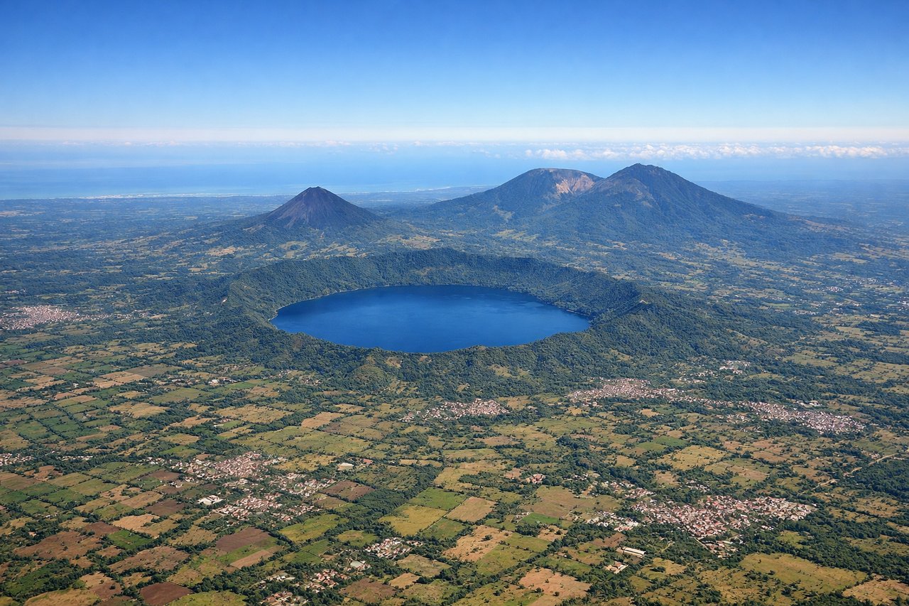
Takeoff from SAL
RIGHTRight-side seats offer views of the Central American volcanic chain and Pacific coastline as the aircraft climbs northwest from San Salvador. The Salvadoran highlands and volcanic peaks are positioned to the right during initial climb.
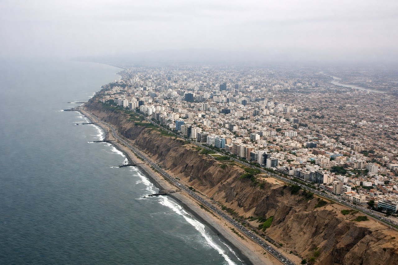
Landing at LIM
LEFTLeft-side seats provide excellent views of the Andes Mountains during descent into Lima, particularly the high peaks of the western cordillera. The approach path from the north brings these mountains into view on the left side as the aircraft descends toward the coastal plain.
Will your flight be in sunlight?
Pick a date and time in the Sun Map to watch the sun move across your whole flight.
About This Route
Which side of the plane should I sit on flying from El Salvador International (SAL) to Jorge Chávez International Airport (LIM)?
Sit on the Left side of the plane for the best views on flights from San Salvador to Lima. While takeoff offers good Central American views, the landing approach into Lima provides superior scenery with dramatic Andes peaks and the transition from high mountains to Pacific coastline. Left-side seats capture this spectacular descent sequence.
What can I see during takeoff from El Salvador International in San Salvador?
During takeoff from El Salvador International (SAL), sit on the Right side for the best views. Right-side seats offer views of the Central American volcanic chain and Pacific coastline as the aircraft climbs northwest from San Salvador. The Salvadoran highlands and volcanic peaks are positioned to the right during initial climb. Notable sights include: Lake Ilopango (large crater lake east of San Salvador), Pacific coastline of El Salvador, volcanic peaks of the Central American cordillera, San Salvador city sprawl below.
What can I see when landing at Jorge Chávez International Airport in Lima?
When landing at Jorge Chávez International Airport (LIM), sit on the Left side for the best views. Left-side seats provide excellent views of the Andes Mountains during descent into Lima, particularly the high peaks of the western cordillera. The approach path from the north brings these mountains into view on the left side as the aircraft descends toward the coastal plain. Notable sights include: Andes Mountains (western cordillera), Pacific Ocean, Lima coastal plain and city, Callao port area.
How long is the flight from San Salvador to Lima?
The flight from El Salvador International (SAL) to Jorge Chávez International Airport (LIM) takes about 5 hours 15 minutes. The shortest flight path between them is 1,940 miles (3,123 km); winds and air traffic control usually add a few percent.
What does the San Salvador to Lima flight path pass over?
The flight path crosses southern Guatemala and Honduras, passing east of the Guatemalan highlands and the volcanic chain. Over Honduras, the aircraft passes inland of the Caribbean coast. The route then crosses Nicaragua, passing near or over Lake Nicaragua (visible as a large freshwater body), and continues south over Costa Rica and Panama. The San Blas Islands and Caribbean coast of Panama may be visible depending on exact routing. As the aircraft approaches Peru, it crosses over Colombia and Ecuador, with views of the western Andes foothills becoming increasingly prominent. The descent into Lima reveals the dramatic western cordillera of the Peruvian Andes rising from the coastal desert plain.