The right side captures Mount Rainier and the Cascades on departure, then as the flight tracks northwest up the Inside Passage, the right side faces east toward the British Columbia Coast Mountains — a continuous wall of glaciated peaks and fjords for much of the cruise. The left side gets open Pacific Ocean for long stretches, which is comparatively featureless.
Flown SEA to KTN? Did we get it right?
Flight Path
Seattle to Ketchikan is 679 miles (1,093 km), a flight of about 1 hour 55 minutes.
The flight tracks northwest over the Strait of Georgia, then up the Inside Passage along the BC coast. Key features include the Gulf Islands and Vancouver Island's eastern shore, the Coast Mountains of British Columbia with heavily glaciated peaks and deep fjords, the Queen Charlotte Strait, and the northern BC fjord systems including the approaches to the Alaska Panhandle near Prince Rupert before crossing into Southeast Alaska.
Great circle distance and headings ›Phase by phase
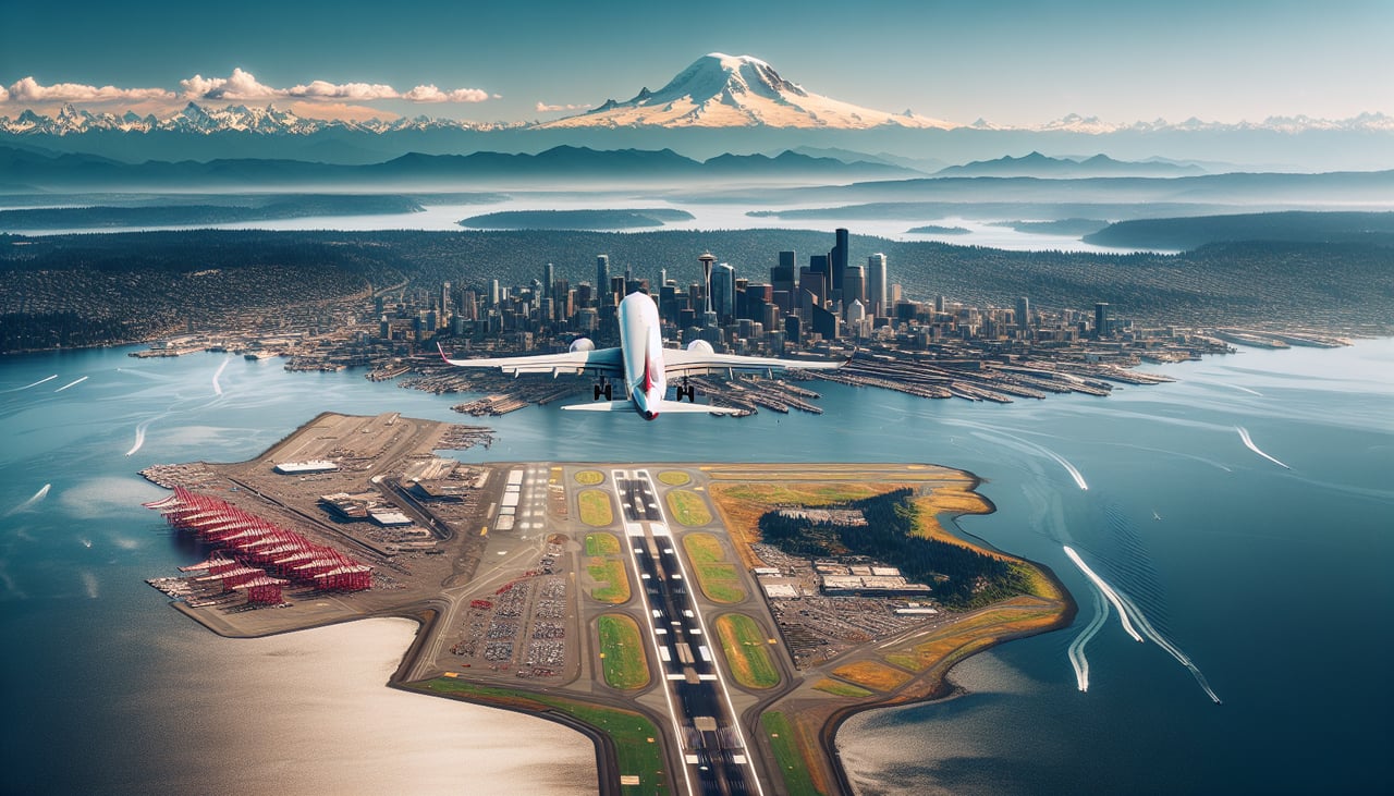
Takeoff from SEA
RIGHTSEA typically departs north on runway 16R/34L or uses runways oriented north-south. Departing northbound, the right side faces east toward the Cascade Range, giving clear views of Mount Rainier dominating the southeast and the broader Cascade peaks. The left side gets Puget Sound but the mountain panorama on the right is the standout feature.
Landing at KTN
LEFTKetchikan's runway 11/29 sits on Gravina Island, and aircraft typically approach from the south or southeast over Revillagigedo Channel. On approach from the south, the left side faces east toward the town of Ketchikan itself on Revillagigedo Island, with the dramatic fjord scenery, Tongass Narrows, and the steep forested mountains directly behind the town clearly visible.
Will your flight be in sunlight?
Pick a date and time in the Sun Map to watch the sun move across your whole flight.
About This Route
Which side of the plane should I sit on flying from Seattle Tacoma International (SEA) to Ketchikan International (KTN)?
Sit on the Right side of the plane for the best views on flights from Seattle to Ketchikan. The right side captures Mount Rainier and the Cascades on departure, then as the flight tracks northwest up the Inside Passage, the right side faces east toward the British Columbia Coast Mountains — a continuous wall of glaciated peaks and fjords for much of the cruise. The left side gets open Pacific Ocean for long stretches, which is comparatively featureless.
What can I see during takeoff from Seattle Tacoma International in Seattle?
During takeoff from Seattle Tacoma International (SEA), sit on the Right side for the best views. SEA typically departs north on runway 16R/34L or uses runways oriented north-south. Departing northbound, the right side faces east toward the Cascade Range, giving clear views of Mount Rainier dominating the southeast and the broader Cascade peaks. The left side gets Puget Sound but the mountain panorama on the right is the standout feature. Notable sights include: Mount Rainier (14,411 ft), the Seattle skyline and Elliott Bay, Lake Washington, the Cascade Range foothills.
What can I see when landing at Ketchikan International in Ketchikan?
When landing at Ketchikan International (KTN), sit on the Left side for the best views. Ketchikan's runway 11/29 sits on Gravina Island, and aircraft typically approach from the south or southeast over Revillagigedo Channel. On approach from the south, the left side faces east toward the town of Ketchikan itself on Revillagigedo Island, with the dramatic fjord scenery, Tongass Narrows, and the steep forested mountains directly behind the town clearly visible. Notable sights include: Tongass Narrows, Ketchikan waterfront and downtown, Revillagigedo Island mountains, Gravina Island.
How long is the flight from Seattle to Ketchikan?
The flight from Seattle Tacoma International (SEA) to Ketchikan International (KTN) takes about 1 hour 55 minutes. The shortest flight path between them is 679 miles (1,093 km); winds and air traffic control usually add a few percent.
What does the Seattle to Ketchikan flight path pass over?
The flight tracks northwest over the Strait of Georgia, then up the Inside Passage along the BC coast. Key features include the Gulf Islands and Vancouver Island's eastern shore, the Coast Mountains of British Columbia with heavily glaciated peaks and deep fjords, the Queen Charlotte Strait, and the northern BC fjord systems including the approaches to the Alaska Panhandle near Prince Rupert before crossing into Southeast Alaska.