Seattle to Minot is 969 miles (1,560 km), a flight of about 2 hours 15 minutes.
Right-side seats win overall due to the spectacular Mount Rainier view during takeoff, which is the most visually striking landmark on this route. The landing approach offers less dramatic scenery, but the takeoff experience is superior.
Flight Path
The flight path crosses the Cascade Range foothills, then transitions over the Columbia Plateau with sparse vegetation and rolling terrain. The North Cascades and eastern Washington's semi-arid landscape dominate the midpoint. As the flight progresses northeast into central Washington and eastern Washington, the terrain becomes increasingly flat and agricultural. The flight crosses into Montana airspace over the Spokane region (visible if flying slightly north of direct route), then continues over the rolling prairie of northeastern Montana and northwestern North Dakota before descending into the flat Great Plains surrounding Minot.
Great circle distance and headings ›
.jpg?width=600)

Phase by phase
Takeoff from SEA
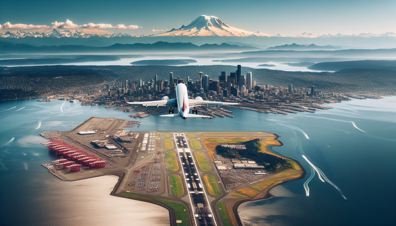
RIGHTRight-side seats capture the Cascade Range and Mount Rainier during the initial climb-out eastbound from Seattle-Tacoma. The mountain is directly on the departure flight path and dominates the early climb phase.
Landing at MIB
LEFTLeft-side seats offer views of the Missouri River valley and the landscape approaching Minot from the west. The river and surrounding prairie terrain are visible during the descent corridor into Minot AFB.
Landmarks on this routeAll landmarks →
Will your flight be in sunlight?
Pick a date and time in the Sun Map to watch the sun move across your whole flight.
About This Route
Which side of the plane should I sit on flying from Seattle Tacoma International (SEA) to Minot Afb (MIB)?
Sit on the Right side of the plane for the best views on flights from Seattle to Minot. Right-side seats win overall due to the spectacular Mount Rainier view during takeoff, which is the most visually striking landmark on this route. The landing approach offers less dramatic scenery, but the takeoff experience is superior.
What can I see during takeoff from Seattle Tacoma International in Seattle?
During takeoff from Seattle Tacoma International (SEA), sit on the Right side for the best views. Right-side seats capture the Cascade Range and Mount Rainier during the initial climb-out eastbound from Seattle-Tacoma. The mountain is directly on the departure flight path and dominates the early climb phase. Notable sights include: Mount Rainier (14,411 ft, ~50 miles southeast), Cascade Range, Puget Sound (receding westward), Lake Washington.
What can I see when landing at Minot Afb in Minot?
When landing at Minot Afb (MIB), sit on the Left side for the best views. Left-side seats offer views of the Missouri River valley and the landscape approaching Minot from the west. The river and surrounding prairie terrain are visible during the descent corridor into Minot AFB. Notable sights include: Missouri River, Great Plains prairie, Minot city lights (small urban cluster), Lake Darling (small reservoir near Minot).
How long is the flight from Seattle to Minot?
The flight from Seattle Tacoma International (SEA) to Minot Afb (MIB) takes about 2 hours 15 minutes. The shortest flight path between them is 969 miles (1,560 km); winds and air traffic control usually add a few percent.
What does the Seattle to Minot flight path pass over?
The flight path crosses the Cascade Range foothills, then transitions over the Columbia Plateau with sparse vegetation and rolling terrain. The North Cascades and eastern Washington's semi-arid landscape dominate the midpoint. As the flight progresses northeast into central Washington and eastern Washington, the terrain becomes increasingly flat and agricultural. The flight crosses into Montana airspace over the Spokane region (visible if flying slightly north of direct route), then continues over the rolling prairie of northeastern Montana and northwestern North Dakota before descending into the flat Great Plains surrounding Minot.