The left side keeps the Olympic Mountains in view for most of the flight, from the Puget Sound climb-out through the Strait of Juan de Fuca crossing and into the Victoria approach, giving it more sustained mountain drama than the right side's brief Seattle skyline moment.
Flown SEA to YYJ? Did we get it right?
Flight Path
Seattle to Victoria is 98 miles (157 km), a flight of about 45 minutes.
San Juan Islands, Strait of Juan de Fuca, Gulf Islands, and the distant Olympic Mountains along the Washington-British Columbia maritime border
Great circle distance and headings ›Phase by phase
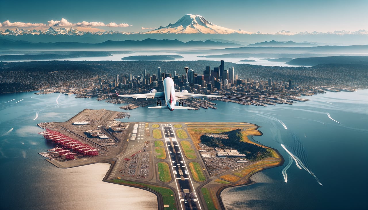
Takeoff from SEA
RIGHTDeparting SEA northbound on runway 34, the climb-out tracks along the Puget Sound corridor with downtown Seattle's skyline and Lake Washington visible off the right side. The Cascade foothills form a hazy backdrop, and on clear days Mount Rainier's summit can be glimpsed to the south as the aircraft banks away.
Landing at YYJ
LEFTOn approach into YYJ, the descent over the Strait of Juan de Fuca reveals the jagged, snow-streaked Olympic Mountains rising across the water to the south. This dramatic mountain wall stays in view right up until the final turn toward Victoria's runway.
Will your flight be in sunlight?
Pick a date and time in the Sun Map to watch the sun move across your whole flight.
About This Route
Which side of the plane should I sit on flying from Seattle Tacoma International (SEA) to Victoria International (YYJ)?
Sit on the Left side of the plane for the best views on flights from Seattle to Victoria. The left side keeps the Olympic Mountains in view for most of the flight, from the Puget Sound climb-out through the Strait of Juan de Fuca crossing and into the Victoria approach, giving it more sustained mountain drama than the right side's brief Seattle skyline moment.
What can I see during takeoff from Seattle Tacoma International in Seattle?
During takeoff from Seattle Tacoma International (SEA), sit on the Right side for the best views. Departing SEA northbound on runway 34, the climb-out tracks along the Puget Sound corridor with downtown Seattle's skyline and Lake Washington visible off the right side. The Cascade foothills form a hazy backdrop, and on clear days Mount Rainier's summit can be glimpsed to the south as the aircraft banks away. Notable sights include: Seattle downtown skyline, Lake Washington, Cascade foothills, Mount Rainier (distant).
What can I see when landing at Victoria International in Victoria?
When landing at Victoria International (YYJ), sit on the Left side for the best views. On approach into YYJ, the descent over the Strait of Juan de Fuca reveals the jagged, snow-streaked Olympic Mountains rising across the water to the south. This dramatic mountain wall stays in view right up until the final turn toward Victoria's runway. Notable sights include: Olympic Mountains, Strait of Juan de Fuca, Vancouver Island coastline, San Juan Islands (fading behind).
How long is the flight from Seattle to Victoria?
The flight from Seattle Tacoma International (SEA) to Victoria International (YYJ) takes about 45 minutes. The shortest flight path between them is 98 miles (157 km); winds and air traffic control usually add a few percent.
What does the Seattle to Victoria flight path pass over?
San Juan Islands, Strait of Juan de Fuca, Gulf Islands, and the distant Olympic Mountains along the Washington-British Columbia maritime border