While takeoff scenery is modest on both sides, the right side benefits from glimpses of the Rocky Mountain front range during cruise and culminates in a spectacular Mount Rainier view on final approach, giving it more consistent visual payoff than the Puget Sound/Olympic side, which is largely obscured by the aircraft's northbound landing heading.
Flight Path
Caribbean Sea, Yucatan Peninsula coastline, Gulf of Mexico, Texas Hill Country, Great Plains, and the eastern flank of the Rocky Mountains near Colorado/Wyoming before descending toward the Cascade Range
Great circle distance and headings ›


.jpg?width=600)

Phase by phase
Takeoff from STB
LEFTClimbing out of Santa Barbara del Zulia, the plane banks over the flat Lake Maracaibo basin, and the Sierra de Perijá foothills along the Venezuela-Colombia border are visible to the west, giving the left side a bit more topographic interest than the flat eastern lake plain.
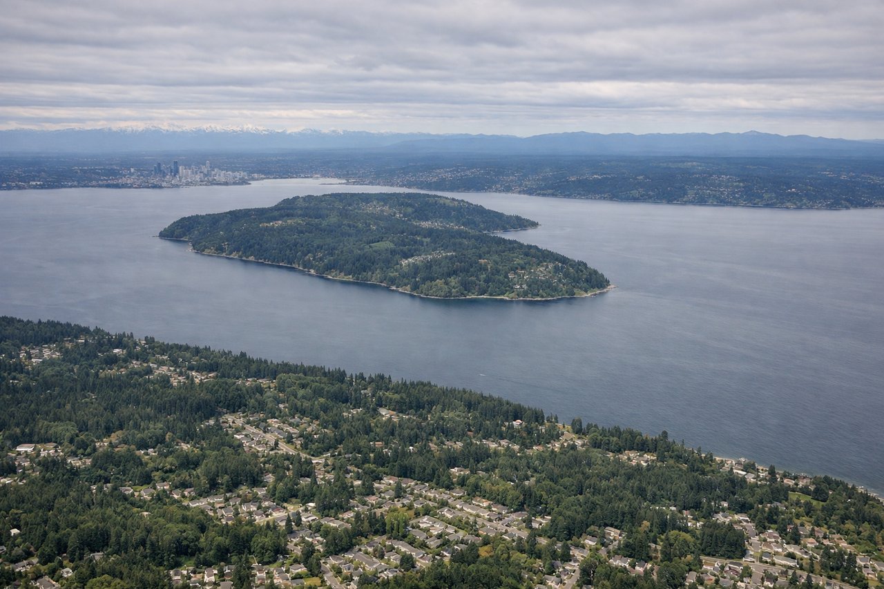
Landing at SEA
RIGHTOn the approach into Sea-Tac from the south, the aircraft tracks north up the I-5 corridor, and Mount Rainier's snow-capped cone dominates the eastern horizon on the right side of the plane during the final descent. This is one of the most recognizable mountain views in North American commercial aviation.
Landmarks on this routeAll landmarks →
Will your flight be in sunlight?
See exactly which side of the plane gets sun and shade at your departure time.
About This Route
Which side of the plane should I sit on flying from Santa Barbara Del Zulia (STB) to Seattle Tacoma International (SEA)?
Sit on the Right side of the plane for the best views on flights from Santa Barbara to Seattle. While takeoff scenery is modest on both sides, the right side benefits from glimpses of the Rocky Mountain front range during cruise and culminates in a spectacular Mount Rainier view on final approach, giving it more consistent visual payoff than the Puget Sound/Olympic side, which is largely obscured by the aircraft's northbound landing heading.
What can I see during takeoff from Santa Barbara Del Zulia in Santa Barbara?
During takeoff from Santa Barbara Del Zulia (STB), sit on the Left side for the best views. Climbing out of Santa Barbara del Zulia, the plane banks over the flat Lake Maracaibo basin, and the Sierra de Perijá foothills along the Venezuela-Colombia border are visible to the west, giving the left side a bit more topographic interest than the flat eastern lake plain. Notable sights include: Sierra de Perijá foothills, Lake Maracaibo shoreline, Catatumbo River delta.
What can I see when landing at Seattle Tacoma International in Seattle?
When landing at Seattle Tacoma International (SEA), sit on the Right side for the best views. On the approach into Sea-Tac from the south, the aircraft tracks north up the I-5 corridor, and Mount Rainier's snow-capped cone dominates the eastern horizon on the right side of the plane during the final descent. This is one of the most recognizable mountain views in North American commercial aviation. Notable sights include: Mount Rainier, Cascade foothills, Puyallup River valley, Seattle skyline in the distance ahead.
How long is the flight from Santa Barbara to Seattle?
The flight from Santa Barbara Del Zulia (STB) to Seattle Tacoma International (SEA) takes 7h 45m.
What does the Santa Barbara to Seattle flight path pass over?
Caribbean Sea, Yucatan Peninsula coastline, Gulf of Mexico, Texas Hill Country, Great Plains, and the eastern flank of the Rocky Mountains near Colorado/Wyoming before descending toward the Cascade Range