Singapore to Jakarta is 570 miles (918 km), a flight of about 1 hour 45 minutes.
The right side offers the more memorable segment overall thanks to the Singapore skyline and strait views at departure, while both sides are otherwise similar over the mostly flat, water-dominated Java Sea crossing.
Flight Path
Singapore Strait, Bangka Strait waters, and the flat coastal plains of southern Sumatra and northern Java are visible along the cruise segment, though much of the route is over open sea.
Great circle distance and headings ›Phase by phase
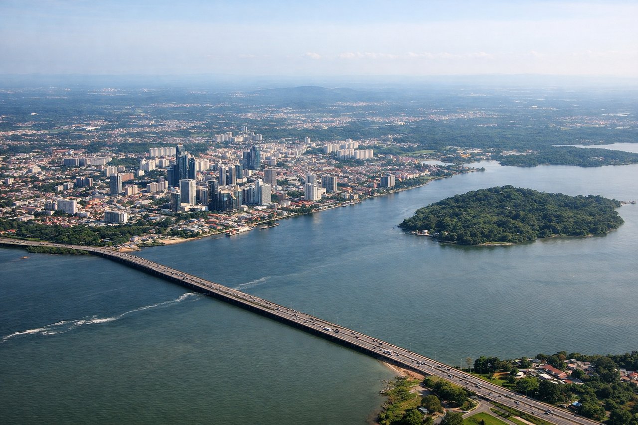
Takeoff from XSP
RIGHTDeparting Seletar toward the south, the right side gives passengers a good look at central Singapore's skyline and the Singapore Strait shipping lanes before the aircraft turns out over water. The left side mostly shows Johor and flat mangrove coastline with less visual interest.
Landing at HLP
LEFTOn approach into Halim from the north or east, the left side typically faces south toward Jakarta's sprawling cityscape and, on clear days, the distant silhouette of the Gede-Pangrango volcanic range beyond the city. The right side mostly shows flat coastal plain and Jakarta Bay's industrial edges.
Landmarks on this routeAll landmarks →
Will your flight be in sunlight?
Pick a date and time in the Sun Map to watch the sun move across your whole flight.
About This Route
Which side of the plane should I sit on flying from Seletar (XSP) to Halim Perdanakusuma International Airport (HLP)?
Sit on the Right side of the plane for the best views on flights from Singapore to Jakarta. The right side offers the more memorable segment overall thanks to the Singapore skyline and strait views at departure, while both sides are otherwise similar over the mostly flat, water-dominated Java Sea crossing.
What can I see during takeoff from Seletar in Singapore?
During takeoff from Seletar (XSP), sit on the Right side for the best views. Departing Seletar toward the south, the right side gives passengers a good look at central Singapore's skyline and the Singapore Strait shipping lanes before the aircraft turns out over water. The left side mostly shows Johor and flat mangrove coastline with less visual interest. Notable sights include: Singapore skyline, Marina Bay area, Singapore Strait shipping lanes, Sentosa Island.
What can I see when landing at Halim Perdanakusuma International Airport in Jakarta?
When landing at Halim Perdanakusuma International Airport (HLP), sit on the Left side for the best views. On approach into Halim from the north or east, the left side typically faces south toward Jakarta's sprawling cityscape and, on clear days, the distant silhouette of the Gede-Pangrango volcanic range beyond the city. The right side mostly shows flat coastal plain and Jakarta Bay's industrial edges. Notable sights include: Jakarta cityscape, Ciliwung River delta, distant Gede-Pangrango volcanoes, Jakarta Bay.
How long is the flight from Singapore to Jakarta?
The flight from Seletar (XSP) to Halim Perdanakusuma International Airport (HLP) takes about 1 hour 45 minutes. The shortest flight path between them is 570 miles (918 km); winds and air traffic control usually add a few percent.
What does the Singapore to Jakarta flight path pass over?
Singapore Strait, Bangka Strait waters, and the flat coastal plains of southern Sumatra and northern Java are visible along the cruise segment, though much of the route is over open sea.