While takeoff favors the right, the landing view of the Rocky Mountain front range is the dominant visual feature of this route and justifies left-side selection for the full journey.
Flown YTZ to YYC? Did we get it right?
Flight Path
Toronto to Calgary is 1,682 miles (2,708 km), a flight of about 3 hours 15 minutes.
The flight path crosses the Canadian Shield and transitions into the Great Plains. Notable features include the northern shore of Lake Huron (visible 45 minutes into flight), the transition zone between boreal forest and prairie around the Manitoba-Saskatchewan border (roughly 1.5 hours into flight), and the gradual rise of the Canadian foothills beginning around 2.5 hours into flight as the Rockies approach from the west.
Great circle distance and headings ›

Phase by phase
Takeoff from YTZ
RIGHTYTZ typically departs eastbound (Runway 09) or westbound (Runway 27). Right-side seats offer views of Lake Ontario's northern shoreline and the Toronto Islands immediately after departure. Left seats face inland toward the city, which becomes obscured quickly by climb-out.
Landing at YYC
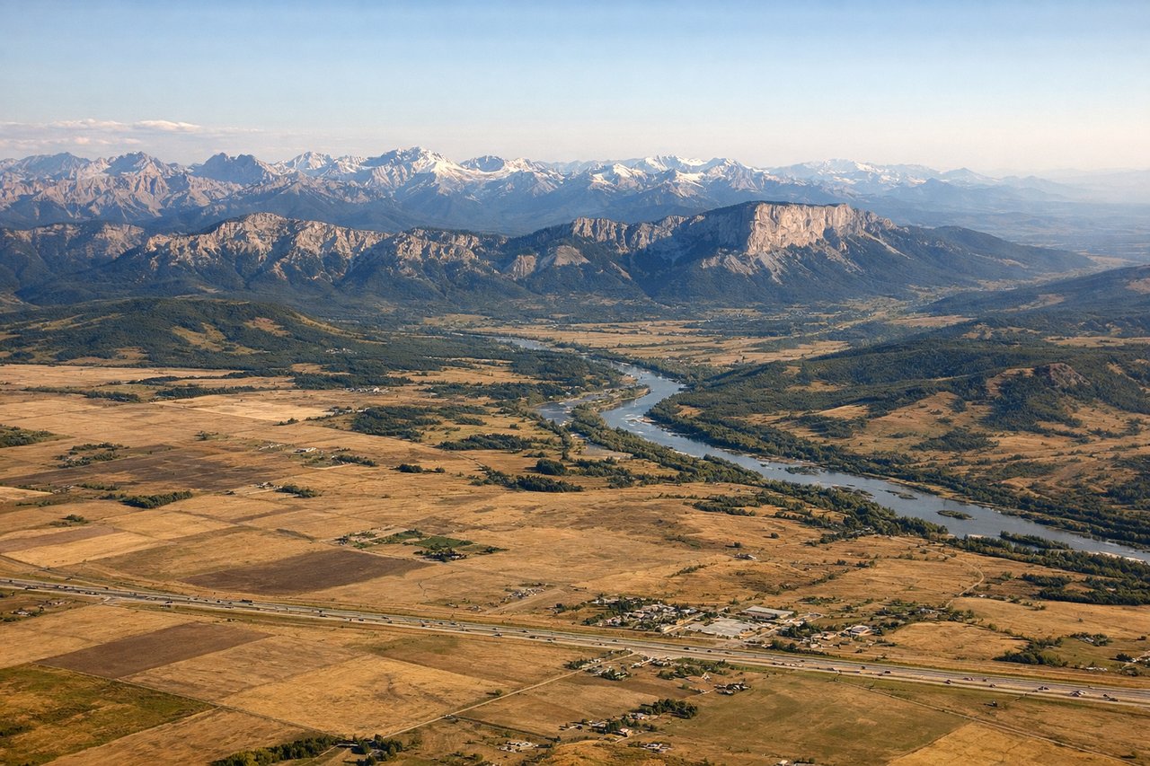
LEFTApproaching YYC typically uses Runway 16L/16R (northbound) or Runway 34L/34R (southbound). Left-side seats on northbound approaches offer clear views of the Rocky Mountain front range rising dramatically to the west. Southbound approaches favor left seats for views of the Bow River valley and downtown Calgary.
Will your flight be in sunlight?
Pick a date and time in the Sun Map to watch the sun move across your whole flight.
About This Route
Which side of the plane should I sit on flying from City Centre (YTZ) to Calgary International (YYC)?
Sit on the Left side of the plane for the best views on flights from Toronto to Calgary. While takeoff favors the right, the landing view of the Rocky Mountain front range is the dominant visual feature of this route and justifies left-side selection for the full journey.
What can I see during takeoff from City Centre in Toronto?
During takeoff from City Centre (YTZ), sit on the Right side for the best views. YTZ typically departs eastbound (Runway 09) or westbound (Runway 27). Right-side seats offer views of Lake Ontario's northern shoreline and the Toronto Islands immediately after departure. Left seats face inland toward the city, which becomes obscured quickly by climb-out. Notable sights include: Lake Ontario (immediate south), Toronto Islands (southeast of runway), Scarborough Bluffs (eastern shoreline), Don River valley (west of departure path).
What can I see when landing at Calgary International in Calgary?
When landing at Calgary International (YYC), sit on the Left side for the best views. Approaching YYC typically uses Runway 16L/16R (northbound) or Runway 34L/34R (southbound). Left-side seats on northbound approaches offer clear views of the Rocky Mountain front range rising dramatically to the west. Southbound approaches favor left seats for views of the Bow River valley and downtown Calgary. Notable sights include: Rocky Mountains front range (Cascade, Banff peaks visible 40+ miles west), Bow River valley (immediate approach corridor), downtown Calgary skyline (northeast of runway), Nose Hill and surrounding foothills (south and west).
How long is the flight from Toronto to Calgary?
The flight from City Centre (YTZ) to Calgary International (YYC) takes about 3 hours 15 minutes. The shortest flight path between them is 1,682 miles (2,708 km); winds and air traffic control usually add a few percent.
What does the Toronto to Calgary flight path pass over?
The flight path crosses the Canadian Shield and transitions into the Great Plains. Notable features include the northern shore of Lake Huron (visible 45 minutes into flight), the transition zone between boreal forest and prairie around the Manitoba-Saskatchewan border (roughly 1.5 hours into flight), and the gradual rise of the Canadian foothills beginning around 2.5 hours into flight as the Rockies approach from the west.