Toronto to Chicago is 446 miles (718 km), a flight of about 1 hour 45 minutes.
Both ends of this short hop offer a city-and-lake view, but the Toronto departure gives a longer, clearer look at an iconic landmark (the CN Tower) right from rotation, while the Chicago skyline view on arrival is briefer and depends more on the exact turn onto final.
Flight Path
The route's midpoint falls near the Detroit-Windsor border and Lake St. Clair, over the flat farmland of southern Michigan and northern Ohio, with the western basin of Lake Erie occasionally visible to the south depending on routing.
Great circle distance and headings ›

Phase by phase
Takeoff from YTZ
RIGHTDeparting YTZ on a westbound heading, downtown Toronto sits just north of the airport, putting the CN Tower and the harbor skyline right outside the right-side windows during the initial climb. The left side only shows open Lake Ontario stretching south with no landmarks.
Landing at ORD
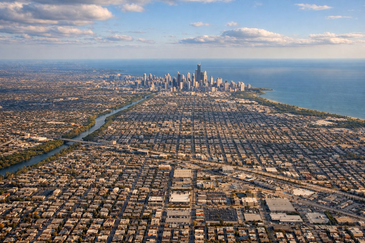
LEFTArriving from the northeast, flights into ORD typically cross the southern end of Lake Michigan before turning to align with the east-west runways, putting downtown Chicago's skyline and the lakefront off the left side during the turn onto final. The right side mostly shows flat Illinois farmland and suburbs with no standout features.
Landmarks on this routeAll landmarks →
Will your flight be in sunlight?
Pick a date and time in the Sun Map to watch the sun move across your whole flight.
About This Route
Which side of the plane should I sit on flying from City Centre (YTZ) to Chicago Ohare International (ORD)?
Sit on the Right side of the plane for the best views on flights from Toronto to Chicago. Both ends of this short hop offer a city-and-lake view, but the Toronto departure gives a longer, clearer look at an iconic landmark (the CN Tower) right from rotation, while the Chicago skyline view on arrival is briefer and depends more on the exact turn onto final.
What can I see during takeoff from City Centre in Toronto?
During takeoff from City Centre (YTZ), sit on the Right side for the best views. Departing YTZ on a westbound heading, downtown Toronto sits just north of the airport, putting the CN Tower and the harbor skyline right outside the right-side windows during the initial climb. The left side only shows open Lake Ontario stretching south with no landmarks. Notable sights include: CN Tower, Toronto skyline and harbor, Toronto Islands, Lake Ontario shoreline.
What can I see when landing at Chicago Ohare International in Chicago?
When landing at Chicago Ohare International (ORD), sit on the Left side for the best views. Arriving from the northeast, flights into ORD typically cross the southern end of Lake Michigan before turning to align with the east-west runways, putting downtown Chicago's skyline and the lakefront off the left side during the turn onto final. The right side mostly shows flat Illinois farmland and suburbs with no standout features. Notable sights include: Chicago skyline (Willis Tower, Sears Tower area), Lake Michigan shoreline, Navy Pier, Chicago's Loop district.
How long is the flight from Toronto to Chicago?
The flight from City Centre (YTZ) to Chicago Ohare International (ORD) takes about 1 hour 45 minutes. The shortest flight path between them is 446 miles (718 km); winds and air traffic control usually add a few percent.
What does the Toronto to Chicago flight path pass over?
The route's midpoint falls near the Detroit-Windsor border and Lake St. Clair, over the flat farmland of southern Michigan and northern Ohio, with the western basin of Lake Erie occasionally visible to the south depending on routing.