The right side offers continuous exposure to the Coast Mountains during climb and cruise, then a dramatic close-up of the North Shore Mountains and Vancouver's skyline on final approach, while the left side stays over comparatively featureless plateau and delta farmland.
Flown YXS to YVR? Did we get it right?
Flight Path
Prince George to Vancouver is 325 miles (523 km), a flight of about 55 minutes.
Fraser Plateau, the southern Coast Mountains near Garibaldi Provincial Park, and the upper Fraser River valley
Great circle distance and headings ›Phase by phase
Takeoff from YXS
RIGHTDeparting YXS to the south, the right side faces west toward the Fraser Plateau's rolling forested terrain and the first rising ridgelines of the Coast Mountains, while the left side shows the flatter, less distinctive Cariboo foothills.
Landing at YVR
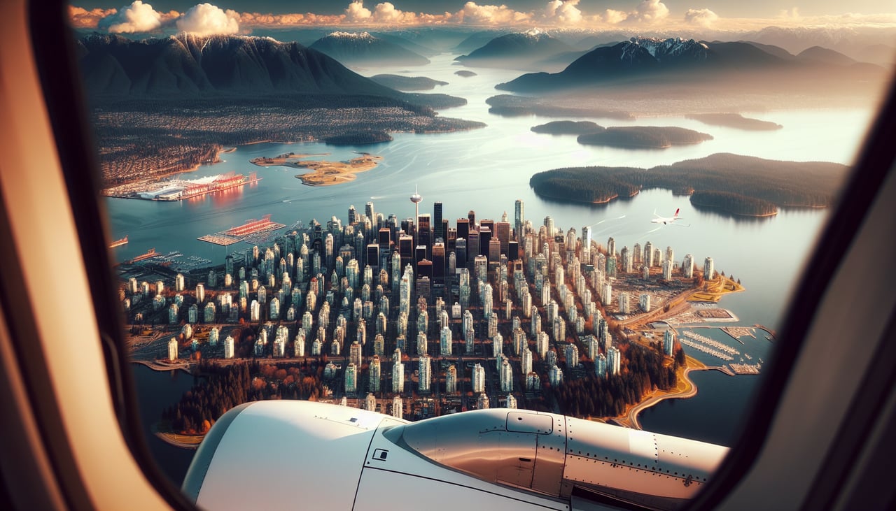
RIGHTOn approach into YVR from the east, the right side of the aircraft faces north toward the North Shore Mountains (Grouse, Seymour, and Cypress) rising sharply behind Vancouver, while the left side only shows the flatter farmland of Boundary Bay and Point Roberts.
Will your flight be in sunlight?
Pick a date and time in the Sun Map to watch the sun move across your whole flight.
About This Route
Which side of the plane should I sit on flying from Prince George (YXS) to Vancouver International (YVR)?
Sit on the Right side of the plane for the best views on flights from Prince George to Vancouver. The right side offers continuous exposure to the Coast Mountains during climb and cruise, then a dramatic close-up of the North Shore Mountains and Vancouver's skyline on final approach, while the left side stays over comparatively featureless plateau and delta farmland.
What can I see during takeoff from Prince George in Prince George?
During takeoff from Prince George (YXS), sit on the Right side for the best views. Departing YXS to the south, the right side faces west toward the Fraser Plateau's rolling forested terrain and the first rising ridgelines of the Coast Mountains, while the left side shows the flatter, less distinctive Cariboo foothills. Notable sights include: Fraser River near Prince George, Fraser Plateau forest belt, distant Coast Mountains foothills.
What can I see when landing at Vancouver International in Vancouver?
When landing at Vancouver International (YVR), sit on the Right side for the best views. On approach into YVR from the east, the right side of the aircraft faces north toward the North Shore Mountains (Grouse, Seymour, and Cypress) rising sharply behind Vancouver, while the left side only shows the flatter farmland of Boundary Bay and Point Roberts. Notable sights include: North Shore Mountains, Burrard Inlet, downtown Vancouver skyline, Fraser River delta.
How long is the flight from Prince George to Vancouver?
The flight from Prince George (YXS) to Vancouver International (YVR) takes about 55 minutes. The shortest flight path between them is 325 miles (523 km); winds and air traffic control usually add a few percent.
What does the Prince George to Vancouver flight path pass over?
Fraser Plateau, the southern Coast Mountains near Garibaldi Provincial Park, and the upper Fraser River valley