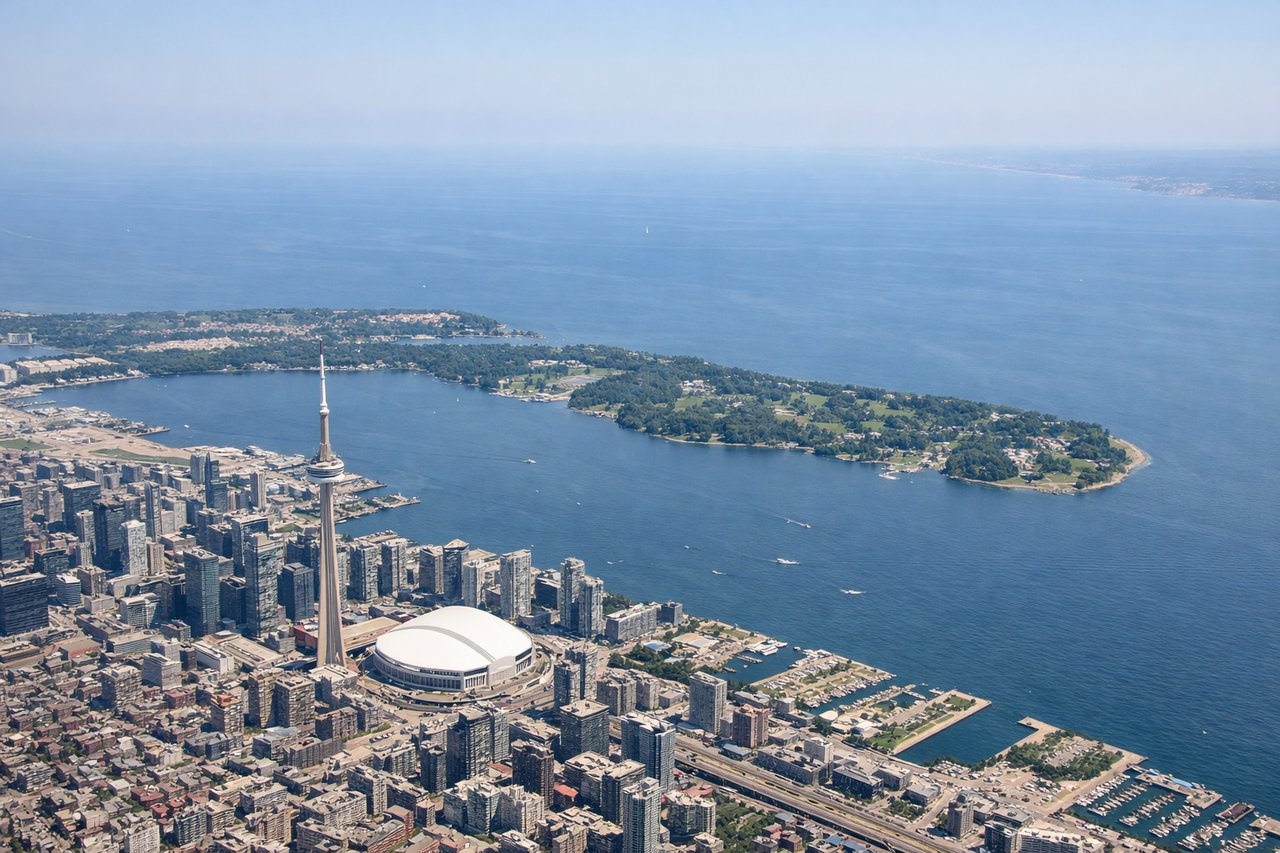
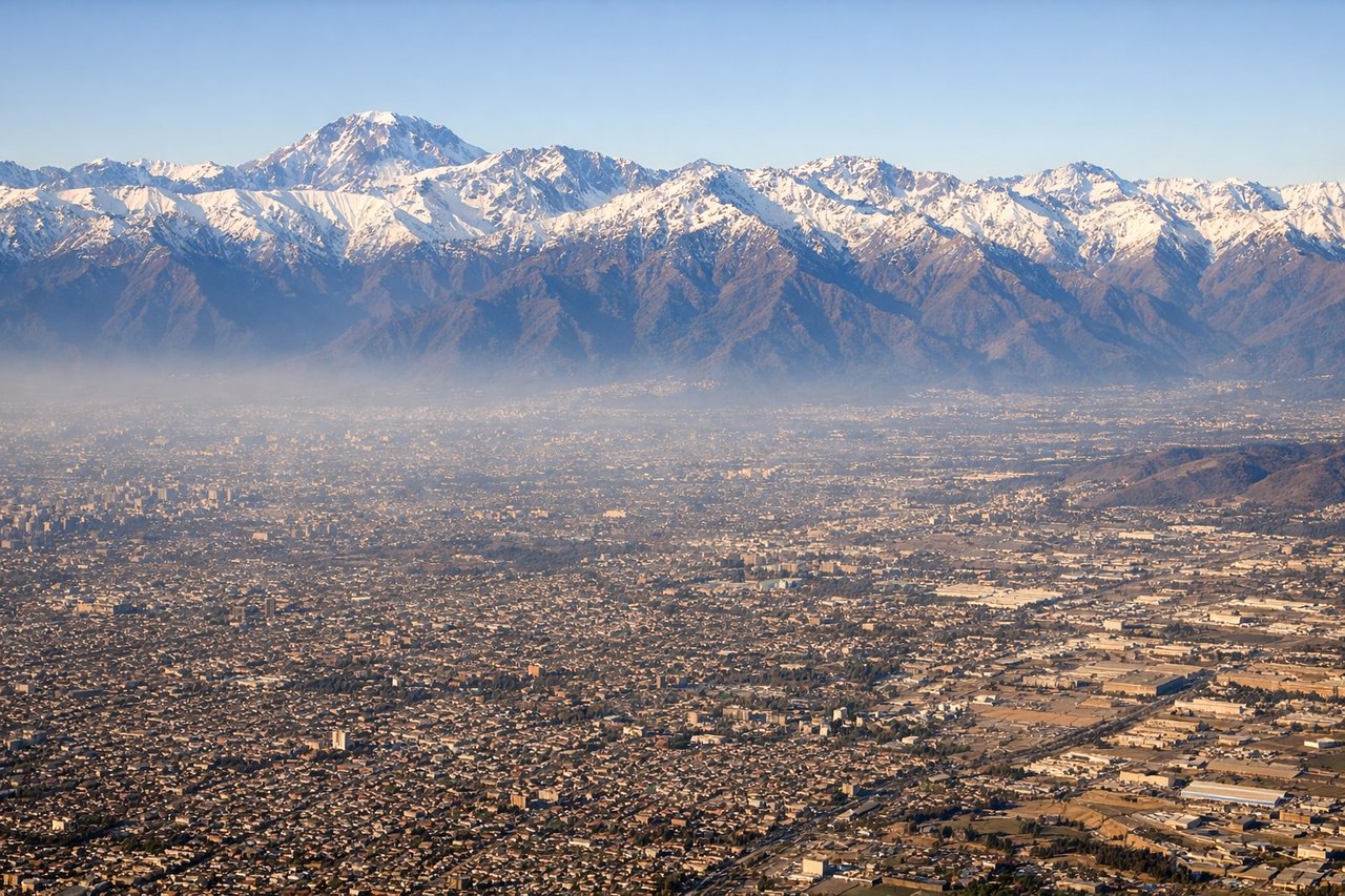
The left side wins on both ends of the flight — a glimpse of the Toronto skyline and Lake Ontario at departure, and a spectacular close-up of the Andes during the Santiago approach, which is one of the most scenic mountain landings in the world.
Flight Path
Gulf of Mexico or western Caribbean, Amazon basin lowlands, Bolivian altiplano, and the northern Andes ranges as the flight path curves southward toward Chile
Great circle distance and headings ›
.jpeg?width=600)


.jpg?width=600)

Phase by phase
Takeoff from YYZ
LEFTDepartures from Pearson toward the south typically bank over Lake Ontario, giving left-side passengers a view of downtown Toronto's skyline and the CN Tower along the lakeshore before the turn south. The right side mostly shows flat Mississauga suburbs and highways.
Landing at SCL
LEFTOn approach into Santiago, the aircraft descends from the north with the Andes running directly along the eastern edge of the city, visible on the left side as the plane aligns with the north-south runways. The jagged, snow-capped peaks rising abruptly behind the Santiago valley make this one of the most dramatic landings in South America.
Landmarks on this routeAll landmarks →
Will your flight be in sunlight?
See exactly which side of the plane gets sun and shade at your departure time.
About This Route
Which side of the plane should I sit on flying from Lester B Pearson International (YYZ) to Arturo Merino Benitez International (SCL)?
Sit on the Left side of the plane for the best views on flights from Toronto to Santiago. The left side wins on both ends of the flight — a glimpse of the Toronto skyline and Lake Ontario at departure, and a spectacular close-up of the Andes during the Santiago approach, which is one of the most scenic mountain landings in the world.
What can I see during takeoff from Lester B Pearson International in Toronto?
During takeoff from Lester B Pearson International (YYZ), sit on the Left side for the best views. Departures from Pearson toward the south typically bank over Lake Ontario, giving left-side passengers a view of downtown Toronto's skyline and the CN Tower along the lakeshore before the turn south. The right side mostly shows flat Mississauga suburbs and highways. Notable sights include: CN Tower and downtown Toronto skyline, Lake Ontario shoreline, Toronto Islands.
What can I see when landing at Arturo Merino Benitez International in Santiago?
When landing at Arturo Merino Benitez International (SCL), sit on the Left side for the best views. On approach into Santiago, the aircraft descends from the north with the Andes running directly along the eastern edge of the city, visible on the left side as the plane aligns with the north-south runways. The jagged, snow-capped peaks rising abruptly behind the Santiago valley make this one of the most dramatic landings in South America. Notable sights include: Andes Mountains including peaks near Cerro El Plomo, Santiago's urban valley, Mapocho River.
How long is the flight from Toronto to Santiago?
The flight from Lester B Pearson International (YYZ) to Arturo Merino Benitez International (SCL) takes 9h 55m.
What does the Toronto to Santiago flight path pass over?
Gulf of Mexico or western Caribbean, Amazon basin lowlands, Bolivian altiplano, and the northern Andes ranges as the flight path curves southward toward Chile