The right side captures the most distinctive scenery on this route: Great Slave Lake's dramatic shoreline at departure and the Toronto skyline with Lake Ontario at arrival, while the left side mostly shows featureless boreal forest and farmland.
Flown YZF to YYZ? Did we get it right?
Flight Path
Yellowknife to Toronto is 1,901 miles (3,060 km), a flight of about 3 hours 40 minutes.
Canadian Shield lake country of northern Ontario, including scattered lakes and boreal forest between Lake Winnipeg and Lake Superior's northern shore
Great circle distance and headings ›
Phase by phase
Takeoff from YZF
RIGHTDeparting YZF and turning southeast toward Ontario, Great Slave Lake's rugged, island-studded shoreline and the Canadian Shield's exposed rock and lake country fall on the south-facing side of the aircraft as it climbs out.
Landing at YYZ
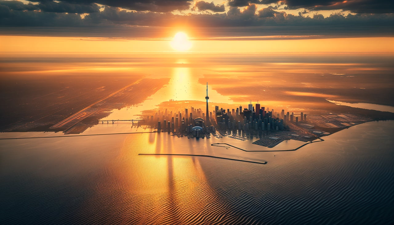
RIGHTOn approach into YYZ from the north, arrivals favoring the 24L/24R runways bank the aircraft to give south-facing passengers a clear view over Lake Ontario and the Toronto skyline, including the CN Tower, before touchdown.
Will your flight be in sunlight?
Pick a date and time in the Sun Map to watch the sun move across your whole flight.
About This Route
Which side of the plane should I sit on flying from Yellowknife (YZF) to Lester B Pearson International (YYZ)?
Sit on the Right side of the plane for the best views on flights from Yellowknife to Toronto. The right side captures the most distinctive scenery on this route: Great Slave Lake's dramatic shoreline at departure and the Toronto skyline with Lake Ontario at arrival, while the left side mostly shows featureless boreal forest and farmland.
What can I see during takeoff from Yellowknife in Yellowknife?
During takeoff from Yellowknife (YZF), sit on the Right side for the best views. Departing YZF and turning southeast toward Ontario, Great Slave Lake's rugged, island-studded shoreline and the Canadian Shield's exposed rock and lake country fall on the south-facing side of the aircraft as it climbs out. Notable sights include: Great Slave Lake, Yellowknife Bay islands, Canadian Shield rock outcrops, boreal forest lake clusters.
What can I see when landing at Lester B Pearson International in Toronto?
When landing at Lester B Pearson International (YYZ), sit on the Right side for the best views. On approach into YYZ from the north, arrivals favoring the 24L/24R runways bank the aircraft to give south-facing passengers a clear view over Lake Ontario and the Toronto skyline, including the CN Tower, before touchdown. Notable sights include: Lake Ontario shoreline, Toronto skyline and CN Tower, Toronto Islands, Lake Simcoe on descent.
How long is the flight from Yellowknife to Toronto?
The flight from Yellowknife (YZF) to Lester B Pearson International (YYZ) takes about 3 hours 40 minutes. The shortest flight path between them is 1,901 miles (3,060 km); winds and air traffic control usually add a few percent.
What does the Yellowknife to Toronto flight path pass over?
Canadian Shield lake country of northern Ontario, including scattered lakes and boreal forest between Lake Winnipeg and Lake Superior's northern shore